
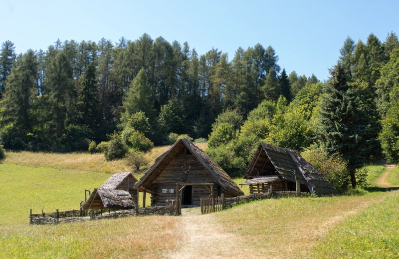
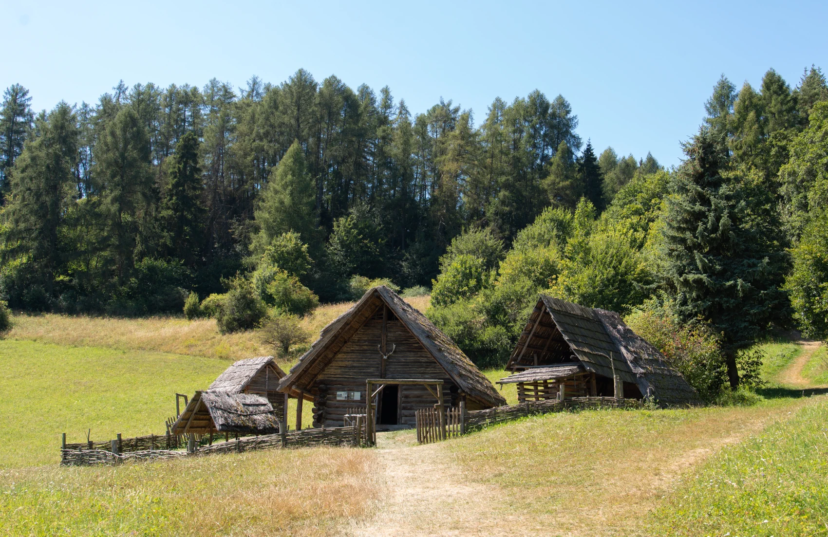
Travel back to the times of mysterious druids. Archeoskanzen Havránok will reveal the ancient secrets of Celtic settlement, ancient sacrificial sites, wooden fortifications, and the remains of a medieval castle – all with a breathtaking view over the waters of Liptovská Mara.
Archaeological Open-Air Museum Liptovská Mara – Havránok
The Archaeological Open-Air Museum Liptovská Mara – Havránok is one of the most significant archaeological sites in Liptov. It was established with the idea of preserving and presenting to the general public the results of long-term research that had been conducted here since the mid-1960s in connection with the construction of the Liptovská Mara water reservoir. In 1991, this hillfort was declared a national cultural monument.
Currently, there is a permanent exhibition of reconstructed structures from two historical periods:
-
Younger Iron Age: Visitors can see a residential manor with a pottery workshop and farm buildings, a sanctuary with a paved floor and sacrificial pit, as well as multiple fortifications with entrance gates.
-
Middle Ages: From the period of the 12th – 16th century, there is a timber-and-earth fort with fortifications. In addition, near the harbor pier, the original tower of one of the oldest churches in Liptov, the Church of the Virgin Mary, has been preserved.
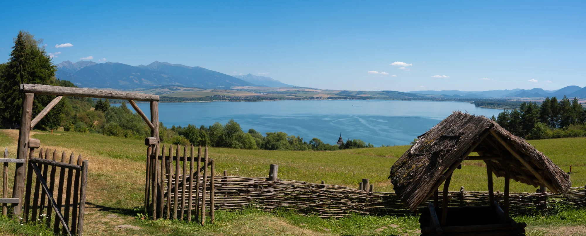
Výhľad zo skanzena Havránok
Significant objects at the hillfort
Fortifications and Celtic sanctuary Hillforts in the northern Carpathians represented a stable place in the settlement structure from the Bronze Age to the beginning of the Roman period. The basis of the local fortification was a rampart made of a wooden grid filled with stones and clay. With the arrival of Celtic cultural influences, double-faced stone walls and complex systems of defensive gates began to be built.
-
From the 2nd to 1st century BC, two bands of the front facing wall made of sandstone have been preserved.
-
Between these bands, a stone stele was discovered with a hearth and various sacrificial gifts, such as jewelry, coins, grain, vessels, and agricultural tools.
-
The entrance to the sanctuary was protected by a semi-tongue tower gate from the second half of the 1st century BC, which had an elevated northern part reinforced with a wooden structure and was protected from the inside by a terraced wall. A wooden palisade stood in inaccessible places.
Residential homestead The homestead is an example of a reconstruction of the way of living in the 3rd – 1st century BC. This residential area consists of several important parts:
-
Dwelling: It is a two-room log house built on a stone foundation with a gable roof covered with reeds. Inside, traces of a stone hearth were found. The space was used for living, household chores, and craft activities.
-
Pottery workshop: It consists of a shelter on beech posts, covered with a combined roofing of reeds and bark. There is a two-chamber kiln with a stoking pit used for firing ceramics, which in its current form is used for experimental purposes.
-
The courtyard area also includes a well and other farm buildings.
In addition to the objects mentioned on the information boards, the Havránok archaeological open-air museum also hides other interesting places and secrets revealed by archaeological research.
-
Druid sanctuary with a dark history: The Celtic cult site is complemented by a wooden colonnade decorated with animal skulls. During archaeological excavations, not only animal bones but also human bones with traces of violence and ritual sacrifice were found in the sacrificial pit. The Celts performed magical rituals here to win the favor of the gods (for example, to summon rain).
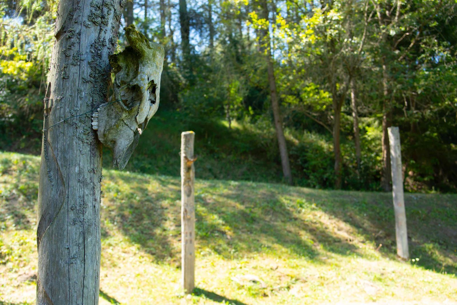
Site of sacrificial rituals
-
Wooden watchtowers: As you walk through the area, you will come across watchtowers that were once used to observe the surroundings. Today they serve as excellent viewpoints offering a beautiful panoramic view of the entire Liptovská Mara and the peaks of the Tatras.
-
Details of the medieval fort: The medieval timber-and-earth fort (with the basement of a wooden residential tower and a paved courtyard) also includes a reconstructed defensive moat with a bridge. From the 12th to the 15th century, this fort withstood Hussite raids and provided refuge for the inhabitants from marauding knights.
-
život a rituály naživo (počas sezóny): Havránok nie je len statickým múzeom. V letných mesiacoch sa areál mení na "živú osadu", kde sa konajú podujatia (napr. Cesta históriou alebo S deťmi za Keltmi). Môžete tu vidieť ukážky starých remesiel, historického šermu, razenia mincí či rekonštrukcie keltských obradov.
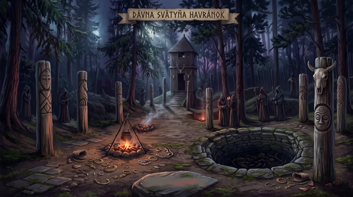
Photo gallery:


What awaits you in Lúčky and its surroundings?
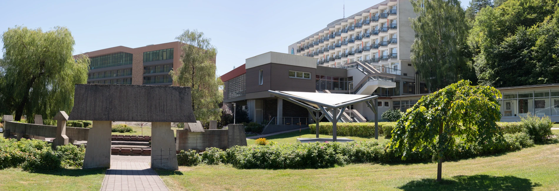
- Relax in mineral water: The local Lúčky Spa is famous for its gypsum-earthy water from the Valentín spring. Not only women's and mobility issues are treated here, but in the modern AQUA-VITAL Park (open all year round) with outdoor pools, recreational visitors will also find something to enjoy.
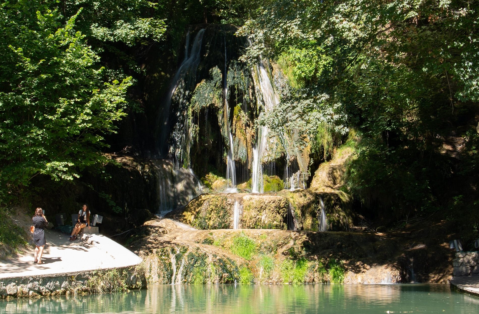
- Waterfall right in the village: Only a few villages in Slovakia can boast a 12-meter travertine waterfall right in their center. The Lúčanský Waterfall, a national natural monument, falls into a turquoise pool where free swimming is also allowed during hot summer days!
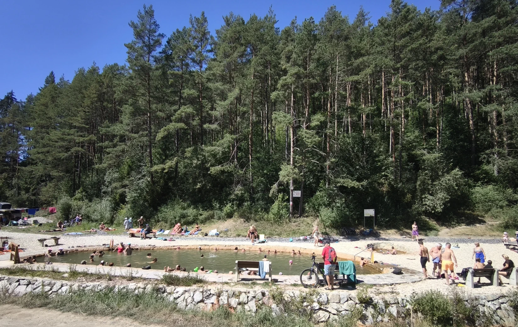
- Wild thermal springs in nature: A short distance from Lúčky, in the neighboring village of Kalameny, another treasure springs forth. The natural thermal spring Kalameny (also called Medokýš) creates a small free pond where the water is a pleasant 33 °C – ideal even for evening or winter bathing under the stars.
- Hiking in the Choč Mountains: For the more active, the surroundings are an ideal starting point. From Lúčky and Kalameny, hiking trails lead directly to the majestic Veľký Choč (1,611 m above sea level) or to the ruins of the highest-situated castle in our country – Liptov Castle.
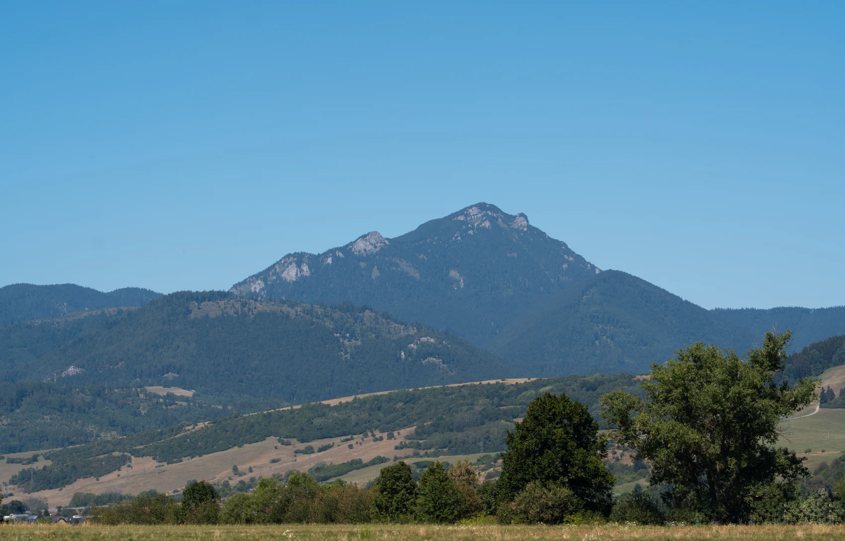
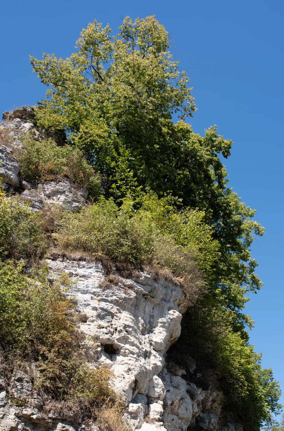
Lúčanské travertíny: A living geological laboratory in the heart of Liptov
The process of their formation is fascinating:
-
The age of the Lúčanské travertines is estimated at 200 to 140 thousand years, which falls into the previous interglacial period.
-
Shapes and forms in Lúčky: In Lúčky, these forms reach an impressive thickness of 40 to 50 meters and were created from thermal calcium-sulfate springs with temperatures ranging from 17 °C to 33 °C.
-
Conditions and process of formation: The formation of travertines in Lúčky was key to the existence of an important fault line, along which thermal springs emerge. The process begins with surface rainwater seeping through permeable rocks, such as limestones and dolomites, to a depth of several kilometers. At this depth, the water heats up and becomes enriched with minerals from the surrounding rocks, only to subsequently return to the surface through fault lines under hydrostatic pressure.
-
Crystallization and fossilized imprints: When mineral water springs to the earth's surface, its temperature and pressure change, and gases, primarily carbon dioxide (CO2), escape from it. These changes, along with the action of present plants and animals, cause the process of crystallization of calcium carbonate from the springing waters. Organisms die in this process, but they leave cavities and imprints in the rock, which are extremely characteristic of the Lúčky travertine.
How to get there?
Access is trouble-free and Lúčky is a great destination for day trips:
- By car: Lúčky lies just a few minutes’ drive (approx. 15 km) from the town of Ružomberok, roughly 10 minutes from the main D1 highway (exit near Ivachnová). There are parking lots in the village and right by the waterfall.
- By bus: Regular suburban lines run directly from the train and bus station in Ružomberok (or from Liptovská Teplá) to the village center and the spa.
- On foot / By bike: The villages in Liptov are excellently connected by quiet asphalt roads and forest paths. A walk from Lúčky to the Kalameny Spring takes about 30 minutes at a comfortable pace.
Map of the surroundings:
Photo gallery:


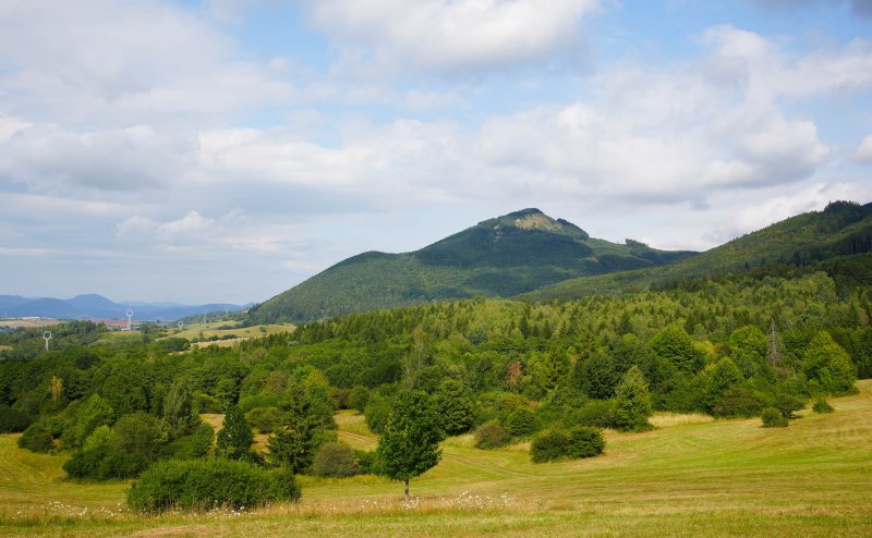

An unassuming, yet all the more enchanting hill in the Lučanská part of Malá Fatra, Čipčie (926 m above sea level).
Why is it worth visiting Čipčie?
For many years, Čipčie was not among the most famous peaks, but recently its popularity has been rightly rising. What awaits you at the top and along the way?
-
Panoramic views: From the unforested summit, a beautiful circular view opens up. You will have the Žilina Basin, Rajec Valley, and Súľov Mountains at your fingertips, and with good visibility, you can also see the ridges of the Kysuce Highlands or the Moravian-Silesian Beskids.
-
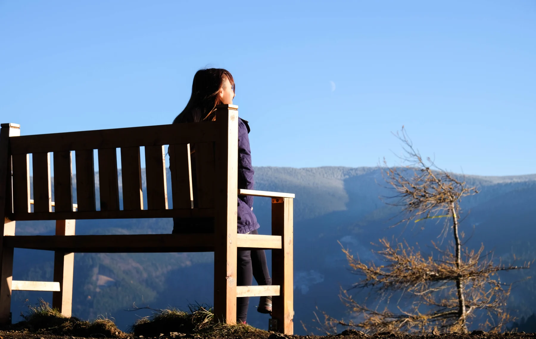
Summit cross and seating: Right at the top, there is a large wooden double cross and a bench where you can comfortably rest after the climb and enjoy a snack from your backpack.
-
Peace and quiet: Although the location is becoming increasingly well-known, you still won't encounter the crowds you find on nearby Minčol or Kľak.
Access and route description
The most popular starting point is the village of Turie. You can plan the trip as a loop, so you won't have to walk up and down the same path.
-
Ascending via the blue trail marker: The route starts directly in the village of Turie, climbs through the Pod Żelezom locality, and then winds along the western slope all the way to the summit of Čipčie.
-
Combination of yellow and blue trail markers: A yellow route also leads from Turie (slightly more to the east). The ideal loop is therefore usually done by combining these two routes (for example, up the steeper blue trail and down the gentler yellow trail via the Nad Zadným junction).
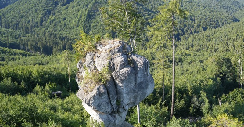
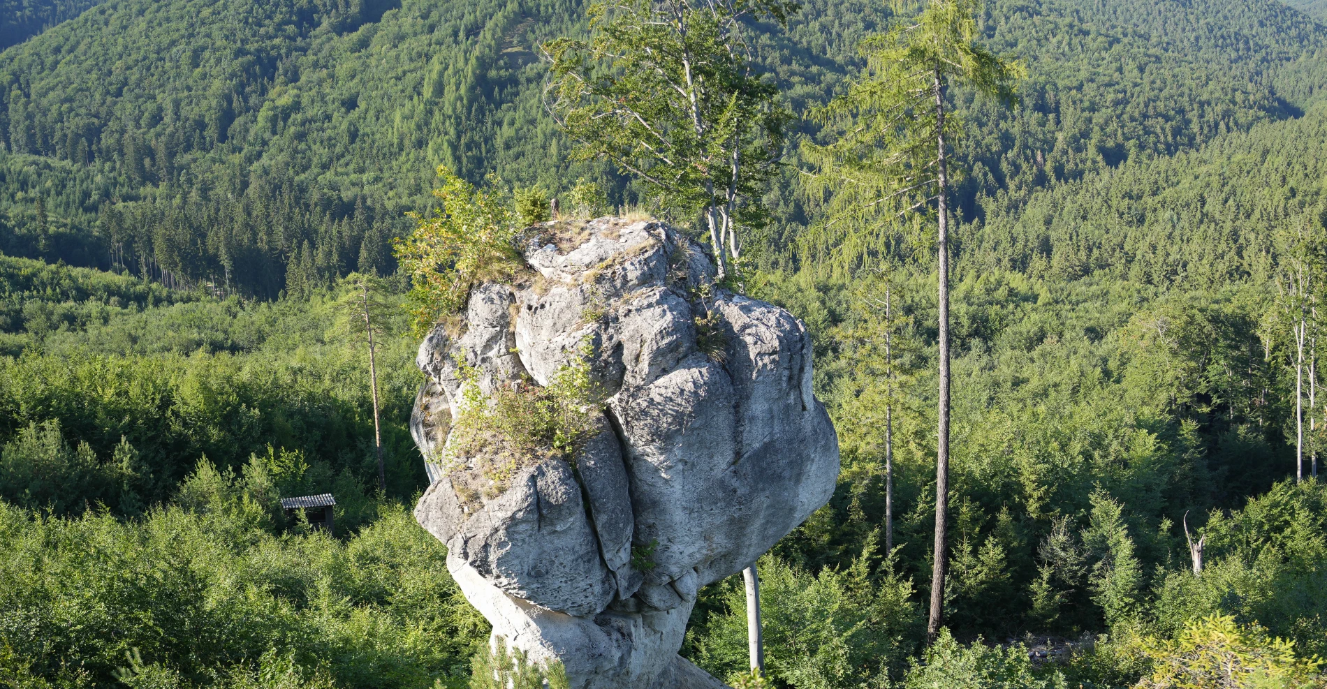
This fascinating rock formation, almost 14 meters high, resembles a huge clenched fist or a wooden club stuck into the ground with its narrow part. It acquired its extraordinary shape thanks to the erosive activity of water, which shaped it for long centuries. It is rightly ranked among the most beautiful natural phenomena in our country.
Access Options
The trip to the budzogáň is manageable even for beginner hikers or families with children. Several routes lead to the rock, from which you can choose according to your fitness:
- From Rajecké Teplice (Educational Trail): The most popular route starts directly in Rajecké Teplice. It is a yellow 🟡 marked Educational Trail Stratený budzogáň, which is approximately 7 km long. Along the way, 6 information boards await you, gradually telling you the entire legend of the giant and Hromodub. The route takes approximately 2 to 3 hours.
- From Zbyňov: If you are looking for a shorter alternative, you can start in the village of Zbyňov. The route connects to the yellow trail and the ascent from here is significantly shorter and faster.
- From Súľov: You can also get to the club from the opposite side of the hill, from the village of Súľov via Sedlo Patúch. This route takes approximately 2.5 hours.
Tip for the end:
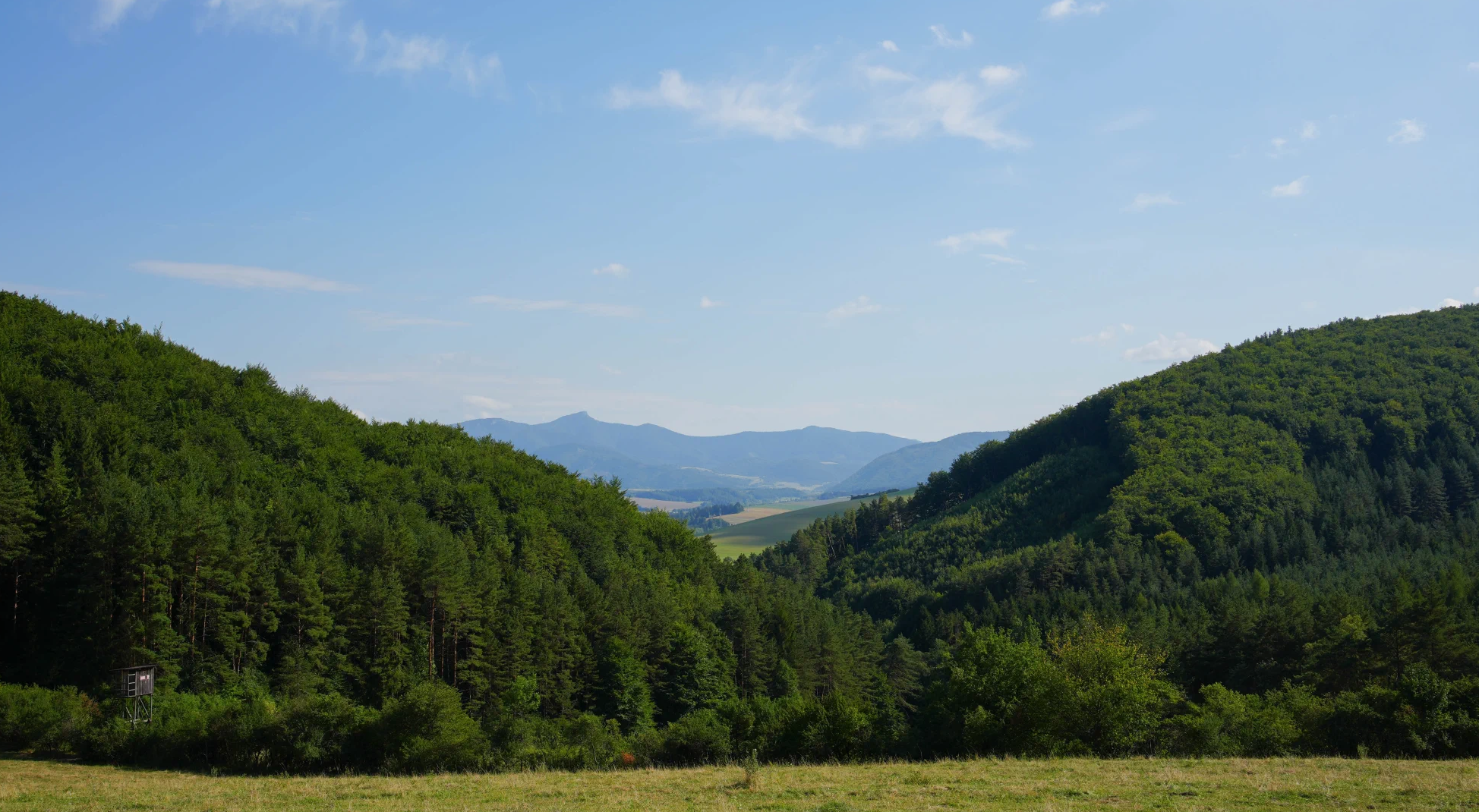
- If you still have energy after reaching the budzogáň, be sure to continue along the trail further to the nearby peak Žibrid (867 m a.s.l.). You will be rewarded with beautiful panoramic views of the Rajecká Basin, Súľov Rocks and the Lúčanská Malá Fatra.
- When you reach the destination and go around the rock that is near the budzogáň, you will get above it, which will open up a wide view of the surroundings.
Location map:
Files for download
| # | Route for download | Format |
|---|---|---|
 |
Offline route for the Locus Map, Google Earth app | .kml |
Legend of the Giant and the magical Thunder Oak

Once upon a time, in a beautiful land, stood the most beautiful and largest tree that ever grew in the world - a majestic Thunder Oak. This miraculous tree belonged to all the people and animals in the area. Every child in the land knew its story and knew that the Thunder Oak had to be cared for with love. People regularly washed its leaves, gently cleaned its roots, and kept watch over it day and night.
How the Giant Traveler fell in love
One day, the Traveler Giant visited this peaceful land. When he arrived at the place where Thunderoak stood, he fell in love with it at first sight. After all, it was the most impressive tree he had seen during his travels around the world. The Giant did not hesitate and immediately began to devise dark plans to acquire this gem for himself alone, and forever.
How Janko Spáč kept watch
The fateful night came when a boy named Janko Spáč was supposed to keep watch by the tree. Janko, true to his name, lay down on the ground, closed his eyes, and fell fast asleep. He slept so deeply that if you were to lie down on the ground and close your eyes now, you would fall asleep exactly as he did then. It was this very moment of inattention that the Giant seized, taking hold of the defenseless Hromodub.
How it all ended
The giant tore the Thunder Oak straight out of the ground with his enormous hands and carved a huge club from it. However, that enormous noise woke up all the inhabitants of the countryside. They were truly angry! They were not going to let him take their beloved Thunder Oak just like that. They managed to outwit the giant and, as punishment, smeared his legs with sticky pitch.
The Angry Giant realized he couldn't move. In a fit of rage, he plunged his new mace from Thunder Oak deep into the ground and cursed it to turn to stone. And so it happened. The mace turned to stone and has remained standing there to this day, as a reminder of the greedy giant and the famous Thunder Oak.
Photo gallery:


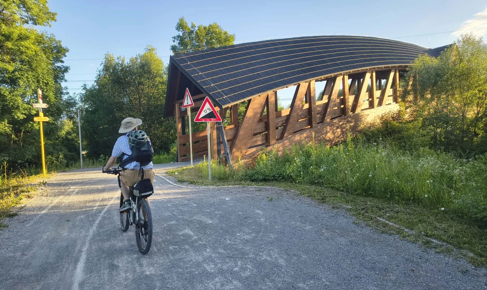
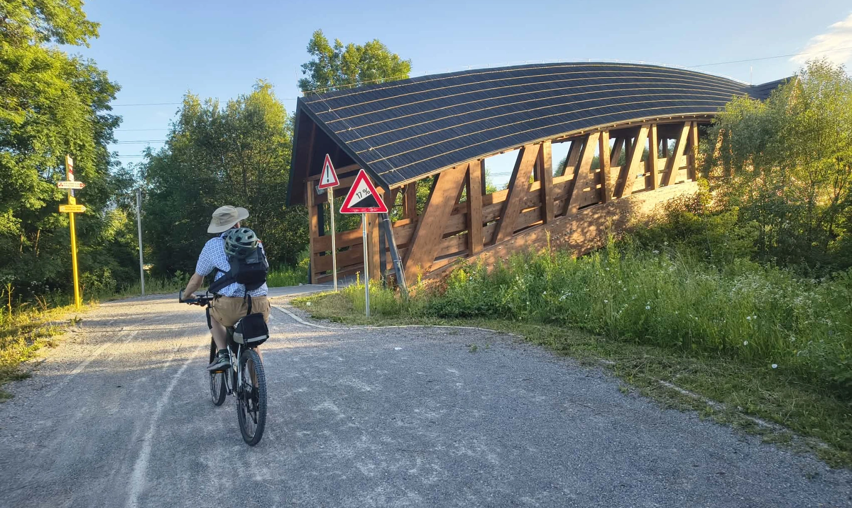
Looking for an ideal tip for an active weekend that even a family with children can easily handle? Swap the car for a bike and set off on one of the most beautiful cycling routes in northern Slovakia! The route directly from Žilina to Jánošík's region will offer you everything you expect from a perfect trip. A safe asphalt path away from busy traffic, a refreshing ride along the Váh river, and breathtaking views of the majestic peaks of Malá Fatra await you.
What awaits you on the route: From the water to the mountain peaks
1. Start at the Žilina Water Works
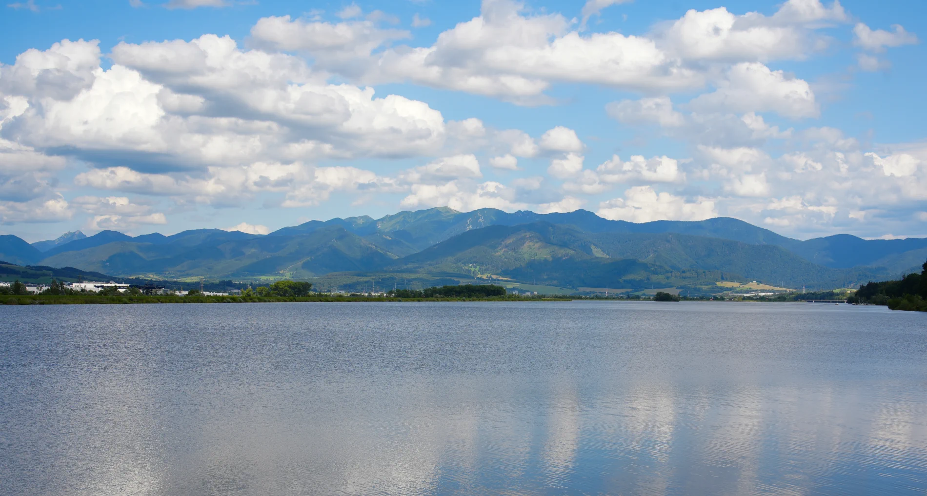
The trip usually starts at the Žilina Waterworks. Right at the beginning, you will be greeted by a pleasant recreational atmosphere. You can watch sailboats, paddleboarders, or flocks of swans and ducks. The smooth asphalt path will lead you along the water's edge with views of the surrounding hills, which is ideal for warming up your muscles.
2. Confluence of the Váh and Varínka rivers and the "flying" Straník
As you approach the village of Varín, the route will take you around the confluence of the Váh and Varínka rivers. If you look at the Straník hill rising above Žilina, on sunny days you will almost certainly see dozens of colorful parachutes. Straník is, after all, the mecca of Slovak paragliding, and the sight of circling pilots completes a great scenery.
3. The refreshing company of the Varínka River
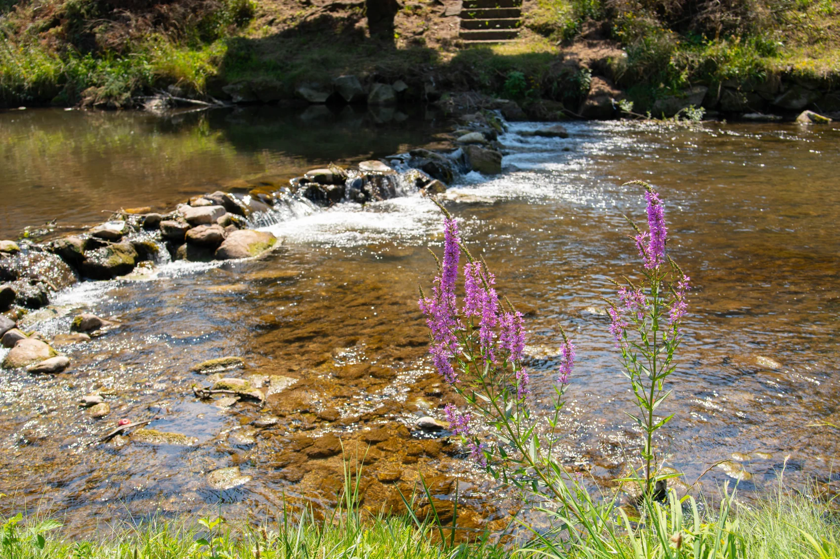
A significant part of the cycle route follows the flow of the mountain river Varínka. Thanks to this, the ride is pleasantly cool even during hot summer days. Crystal-clear water, gurgling cascades, and picturesque nooks with wooden footbridges are ideal spots for short stops, a picnic, or at least dipping your feet in the refreshing water.
4. Safe riding through picturesque villages
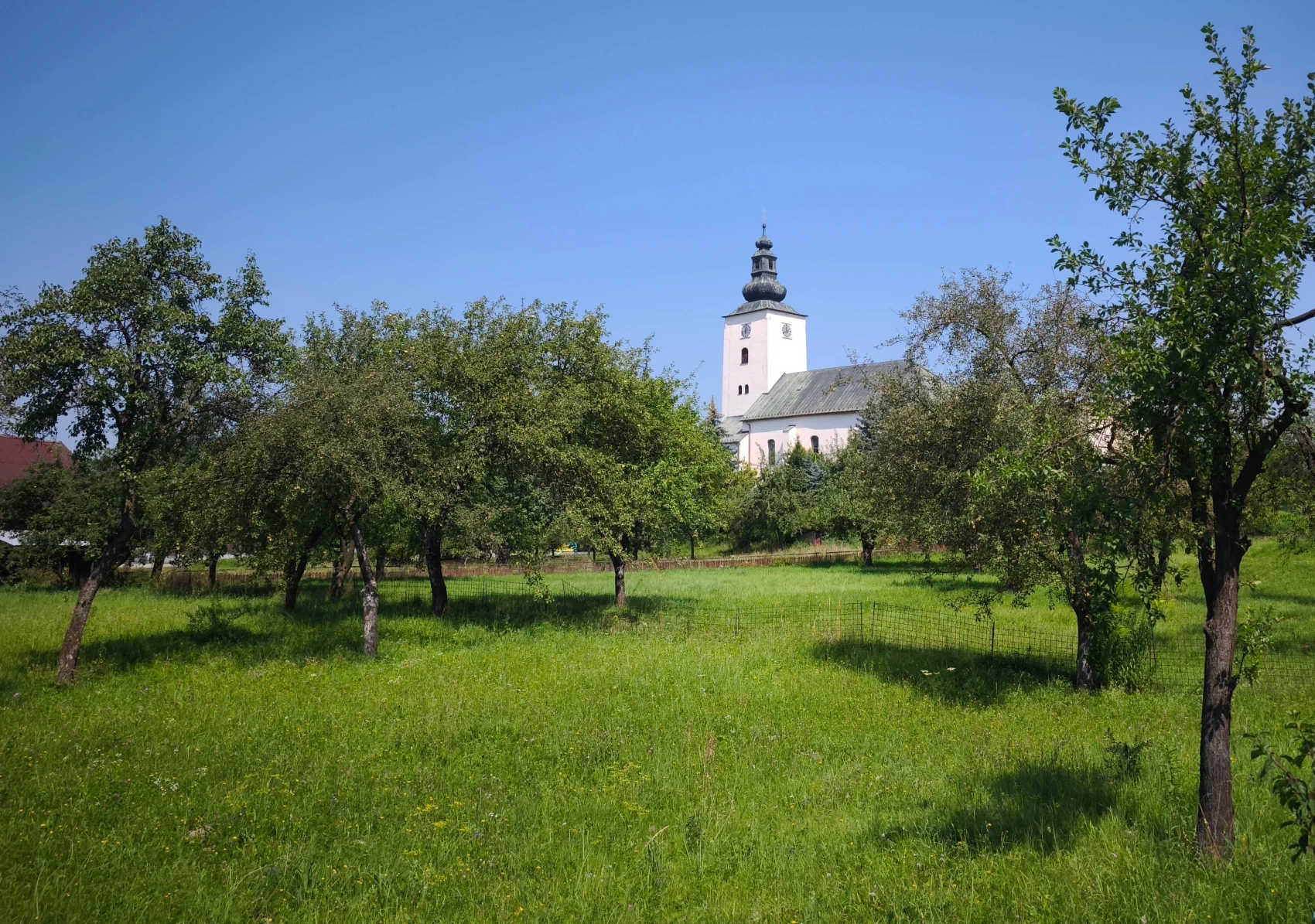
Nová cyklotrasa je pýchou regiónu, pretože je z veľkej časti segregovaná – oddelená od hlavnej automobilovej dopravy. Prejdete cez katastre obcí ako Krasňany, Stráža či Belá. Cestou uvidíte tradičnú aj modernú vidiecku architektúru, pasúce sa ovečky na okolitých lúkach a lavičky pripravené na oddych.
5. Fun and relaxation at Camping Belá
Before the gates of Terchová you will pass the famous Autocamping Belá - Nižné Kamence. It is a perfect strategic point for a break, especially if you are going with children. There is a mini zoo with animals, children's playgrounds and refreshment stands where you can replenish fluids (for example, with draught Kofola) and energy before the final climb.
6. Panorama of Malá Fatra and arrival at Jánošík
As you approach Terchová, the best part begins to unfold before you. Right from your bike, you'll have an exclusive view of the rocky ridges of Malá Fatra – the dominant Malý and Veľký Rozsutec or the Sokolie massif. At the very destination in Terchová, watching over you from the hill is the majestic stainless steel statue of Juraj Jánošík.
 Warning: The cycle route connecting Žilina with Terchová is a beautiful and popular route, but to ensure a smooth and safe ride, we would like to draw your attention to the following important situations you will encounter on the road:
- Safety bollards in the cycle lane: On several sections, especially at the entrances to wooden bridges and at crossings, bollards are placed directly in the middle of the cycle path. Be particularly cautious, especially if you are riding in a group or closely behind another cyclist, so that you have enough time to react and safely pass the obstacle.
- Sharp and blind bends: The route follows the terrain and contains several sharp bends. In these sections, it is essential to slow down significantly and increase attention. Blind spots may hide cyclists coming in the opposite direction or pedestrians, so always adjust your speed so that you can stop safely in time.
- Crossing a road: At the turn-off to Lysica, the cycle route briefly crosses a road, directly through a blind section over the bridge into the village of Lysica.
- Final section of the route to Terchová: It crosses the main road for cars, but it can be bypassed to avoid traffic.
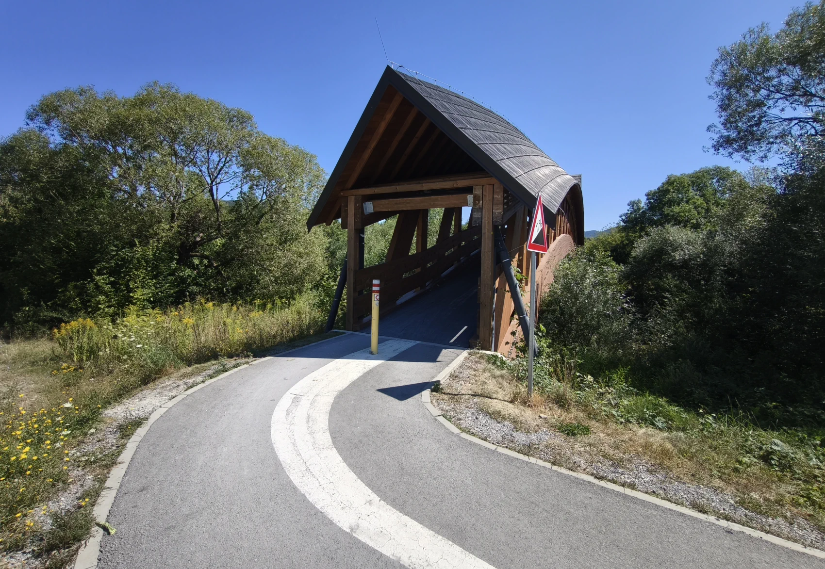
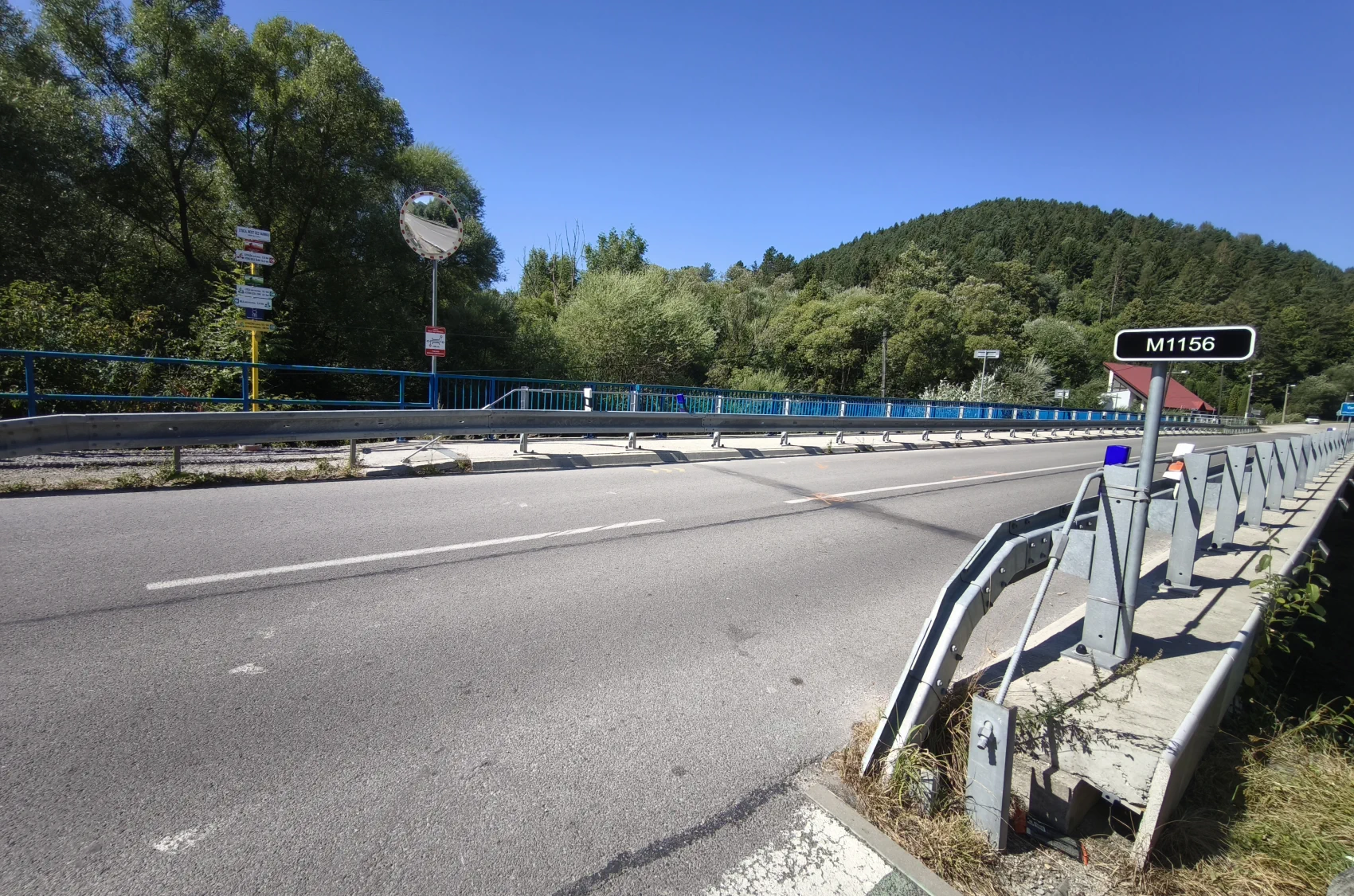
Ride sensibly, adapt your speed to the surroundings, and enjoy a beautiful and safe ride all the way to Terchová!
Final tips: The round trip is almost 50 km (it takes approximately 3 to 5 hours). If you decide after arriving in Terchová that the way back will be too demanding for you, during the summer season, bike buses also operate, which can take you and your bikes back to Žilina.
- Culinary experience: The trip would not be complete without a visit to one of the local cottages. Authentic Terchová bryndza dumplings with bacon or homemade pierogi are the perfect reward for the calories burned.
- Cultural interlude: If you have time left, get off your bike and see the unique wooden mechanical Nativity scene in the Church of St. Cyril and Methodius in the center of the village.
- Statue of Juraj Jánošík: A monumental statue of the legendary outlaw, towering on a hill directly above the village. From there, there is a beautiful view of the surroundings.
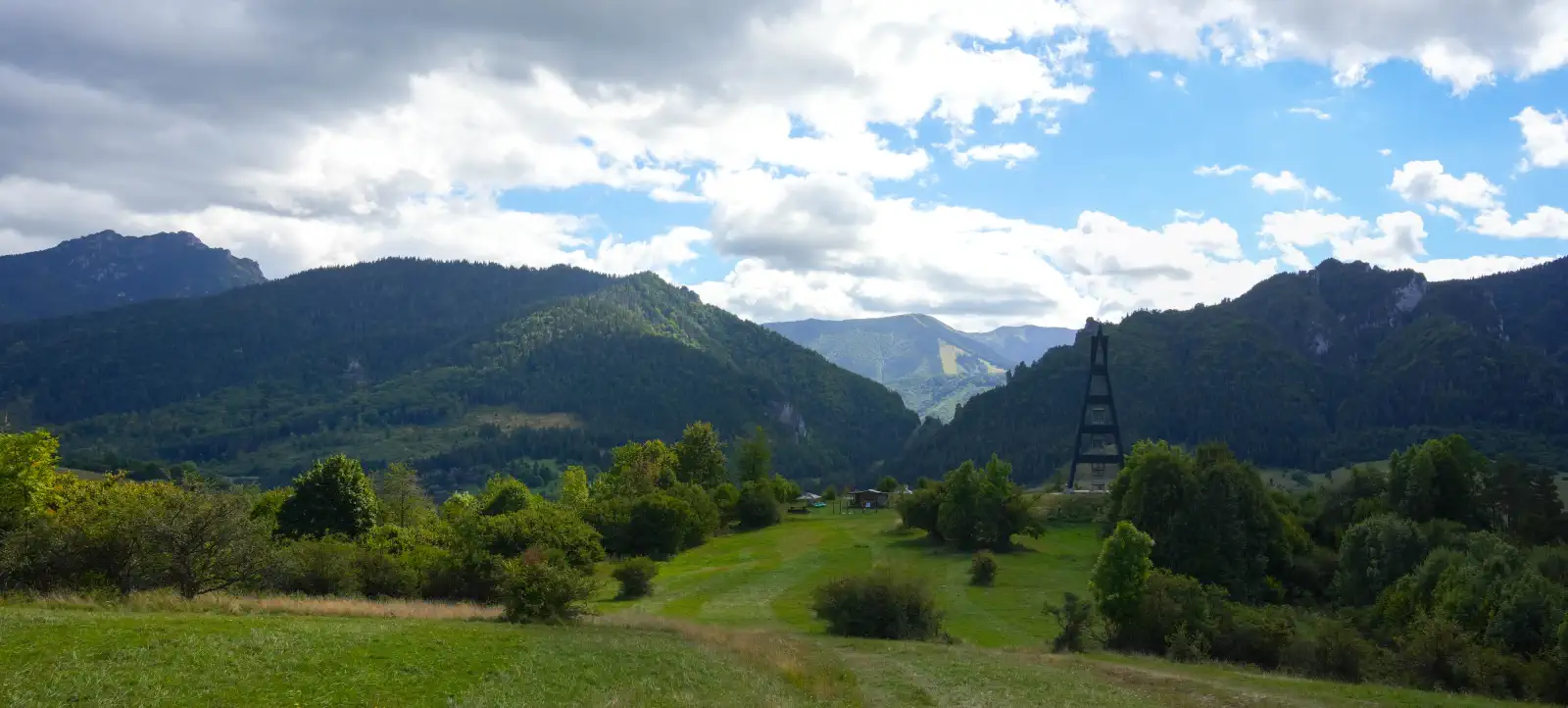
- Terchovské srdce lookout tower: If you still have some energy for a short hike, this lookout tower will give you the best view of the whole of Terchová.
- Juraj Jánošík Museum: If you are interested in history and folklore, be sure not to miss this museum right in the center.
- The cycling route is marked with signs that will guide you the whole way so you don't lose your direction.


Location map:
Photo gallery:


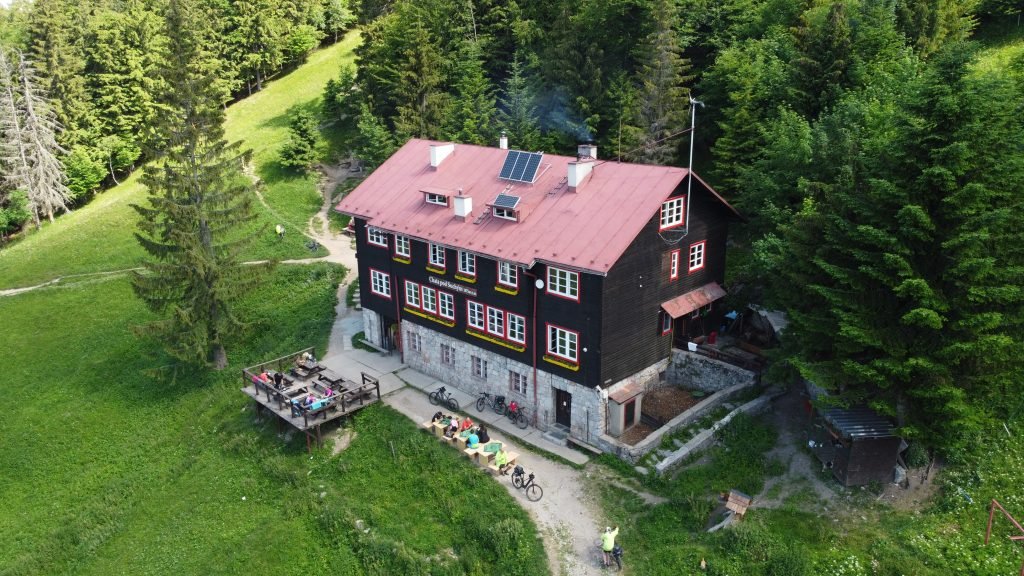
Chata pod Suchým: Gateway to the Malá Fatra ridge with a taste of tradition
Chata pod Suchým (1,075 m above sea level) is one of the most authentic mountain refuges in the Krivánska Malá Fatra, where after a proper hike you are rewarded with genuine mountain atmosphere, views of the surrounding wilderness, and legendary homemade sauerkraut soup or steamed buns. Whether you are looking for a destination for a brisk half-day trip or a starting point for a challenging two-day ridge hike over Malý and Veľký Kriváň, this chalet is an ideal choice for hikers, mountain bikers, and winter ski touring ascents.
How to get to the cottage?
Access to the chalet is surprisingly variable, and thanks to its excellent location, you don't even need your own car — the starting points are excellently connected by both train and bus transport directly from Žilina. Choose a route according to your fitness and equipment:
-
Classic around Staráhrad (from Nezbudská Lúčka / Strečno): The most popular route starts right at the Nezbudská Lúčka-Strečno railway station. Following the red tourist trail you will pass the ruins of Staráhrad (with photogenic views of the Domašínsky meander of the Váh river) and through forest terrain you will ascend all the way to the cottage. An alternative from the same point is the slightly quieter green trail via Javorina.
-
Ascent time: approx. 2.5 to 3 hours (length 7–8 km, elevation gain ~700 m).
-
-
Through the valley from Varín or Krasňany: A gentler approach from the foothills leads along the blue trail from Varín or along the yellow trail from Krasňany through the Kúr valley. These routes are less frequented and offer a gradual ascent through the deep Fatra forests.
-
Čas výstupu: approx. 2.5 to 3 hours.
-
-
On two wheels (cycling route): Chata pod Suchým is one of the few high-mountain chalets in Malá Fatra officially accessible to mountain bikes. A marked cycling route leads to the chalet along a forest track from Varín and through Hoskora. Prepare for a sustained climb that will test your thighs, but the descent back to the valley is worth every drop of sweat.
-
Ridge Magistrale (from Vrátna Valley): For more demanding hikers, the chalet is a perfect stop or destination when crossing the main ridge. After ascending to the ridge from Vrátna Valley (for example, by cable car to Snilovské sedlo), you continue along the red trail through Malý Kriváň and the very peak of Suchý, from which you run down directly to the warmth of the chalet.
The chalet operates year-round and, in addition to refreshments, also offers cozy tourist accommodation. If you want to experience an unforgettable sunset over the Žilina Basin and the nighttime silence of the Fatra forests, it is worth packing your backpack and planning an overnight stay here.
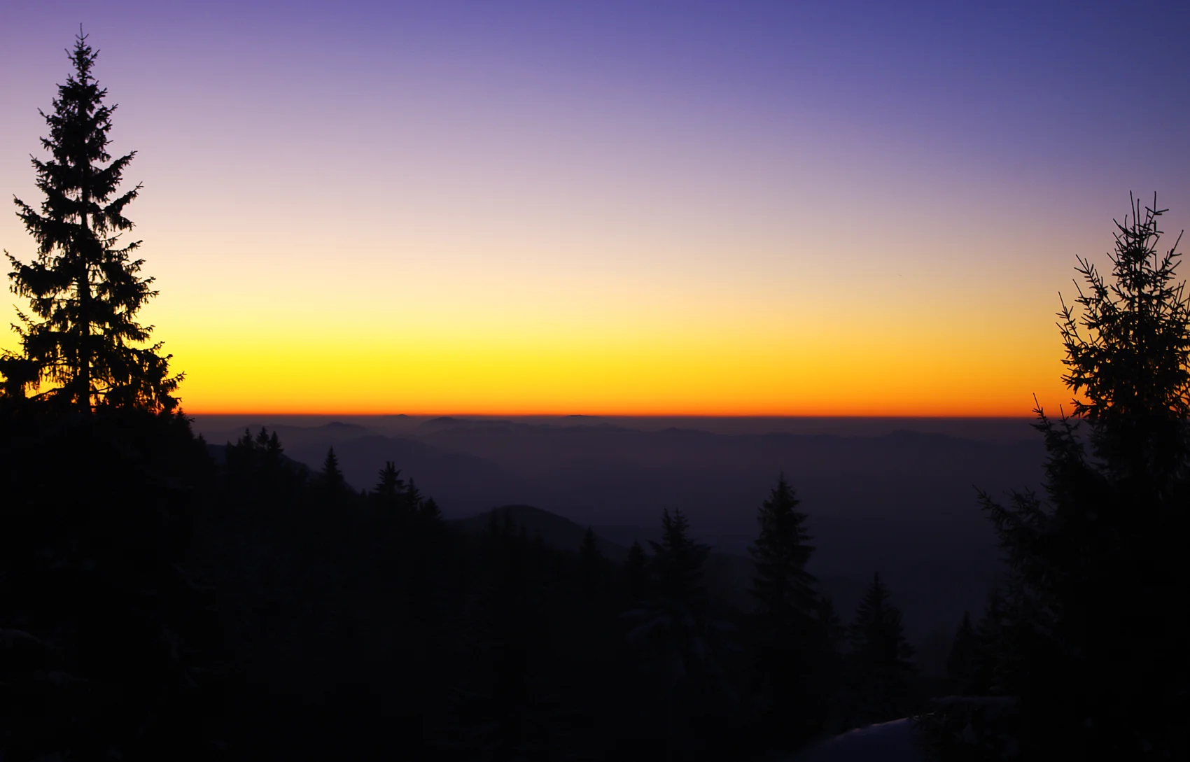
Fig. 1: Sunset at Chata pod Suchým in winter has its charm
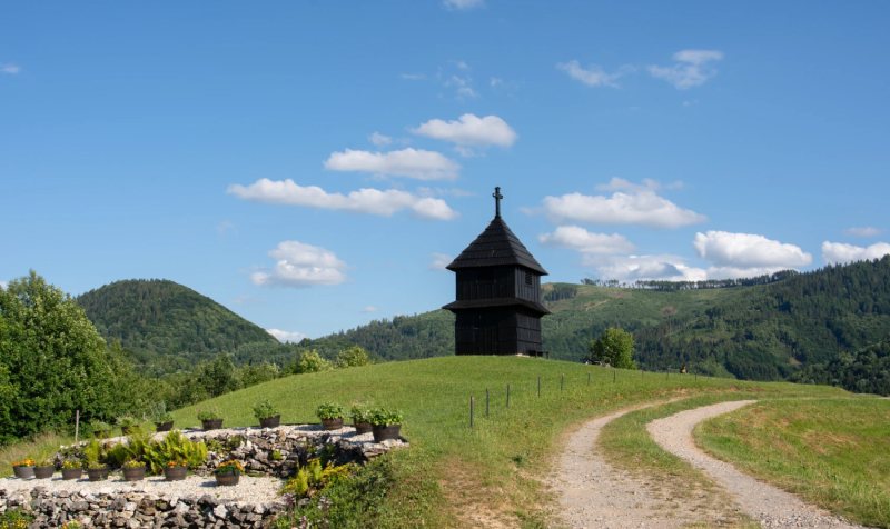

Zvonica u Marunov is not just an architectural monument. It is the heart of the settlement and a silent witness to times when the sound of the bell guided daily life, warned of danger, and united people. Today, this exceptional place offers visitors a window into the past and the unique atmosphere of traditional countryside surrounded by beautiful nature.


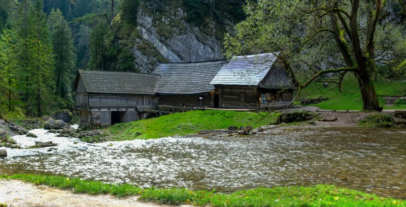
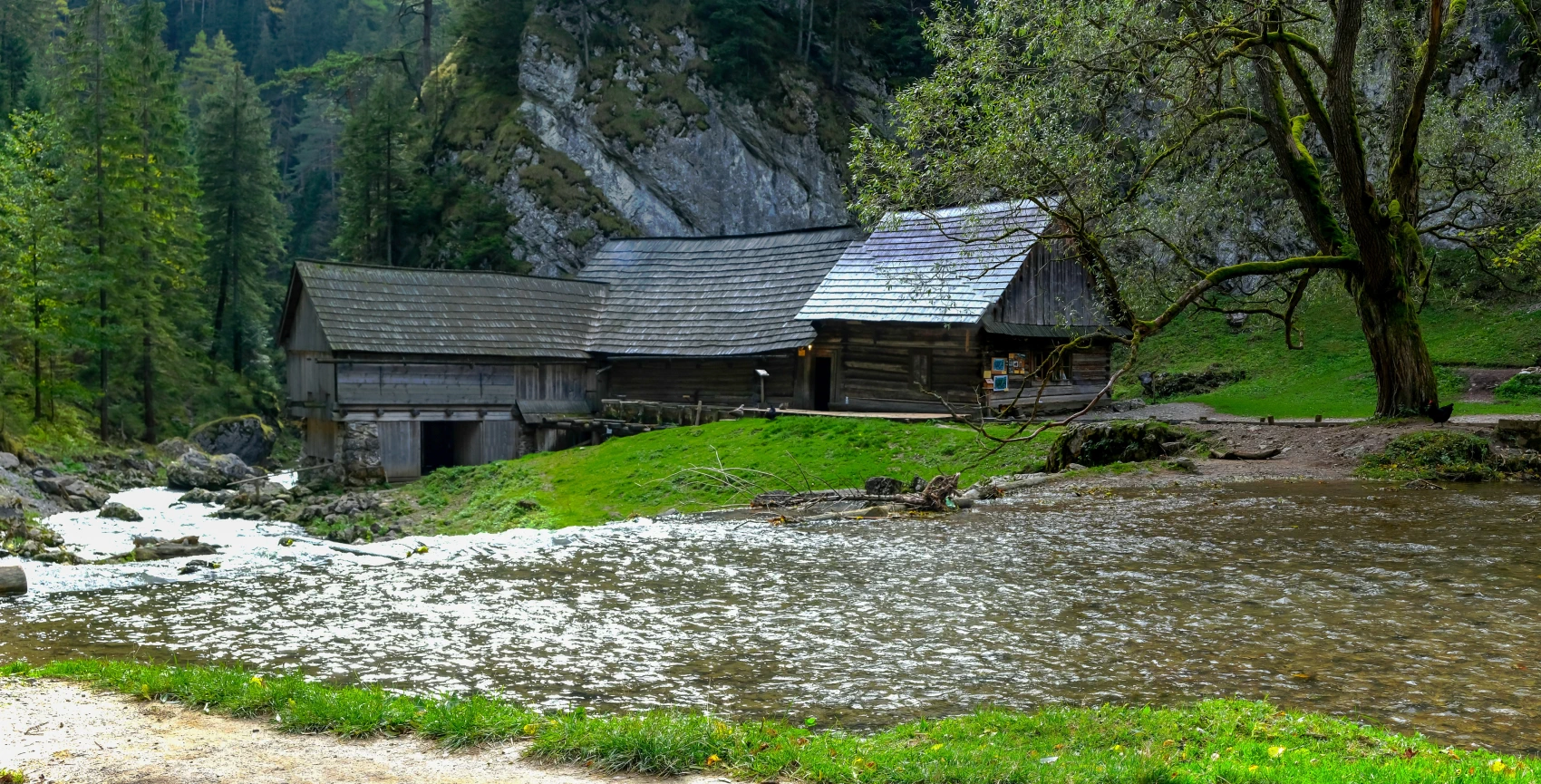
Imagine a place where the clatter of wooden mill wheels and the roar of a wild mountain stream have not ceased even today. Water Mills at Oblazy, hidden in a deep canyon at the confluence of the Kvačianka, Borovianka and Ráztočanka streams, are a unique living technical monument of folk architecture from the 19th century.
Vďaka neúnavnej práci dobrovoľníkov sú mlyny plne funkčné. Počas návštevy uvidíte na vlastné oči tradičné mletie obilia starobylou technológiou aj unikátnu historickú pílu zvanú „gáter“, poháňanú priamo prúdom vody. Oblazy ponúkajú ideálny cieľ pre nenáročnú rodinnú turistiku, cyklistov aj každého, kto hľadá dokonalé spojenie nedotknutej liptovskej prírody a fascinujúceho dedičstva našich predkov. Vstup do areálu je voľný, dobrovoľným príspevkom však priamo podporíte záchranu tohto lesného klenotu.
Access Options
There is no asphalt road for cars leading to the mills; they are accessible only on foot or by mountain bike. Here are the most popular access routes:
From the village of Kvačany (classic route)
-
Route: Kvačany (parking at the valley entrance) – along the red tourist trail 🔴 (Kvačany Valley Nature Trail) – Oblazy
-
Time and distance: Approximately 1 to 1.5 hours (about 4 km one way)
-
Characteristics: The most famous route leading high above the riverbed of the Kvačianka. Along the way, do not miss the magnificent views of the deep canyon – Kobylia hlava and Malý Roháč, from which you will also see the stone Jánošík trail and steep rock walls. The route has a gentle incline and is passable for mountain bikes or off-road strollers.
From the village of Veľké Borové (fastest and easiest access)
-
-
Čas and distance: Approximately 30 to 45 minutes (about 2 km one way)
-
Characteristics: An easy walk with a gentle descent along the stream, ideal for families with small children. Just before the mills, it is worth taking a short detour to the picturesque Ráztocký Waterfall, which falls into a deep rocky gorge.
From the village of Huty (from the north)
-
Route: Huty (junction) – along the red tourist trail 🔴 – Oblazy
-
Time and distance: Approximately 30 to 40 minutes (approx. 1.5 km one way)
-
Characteristics: A short and pleasant route descending through the upper part of the Kvačany Valley from the main road connecting Liptov with Orava.
Full-day loop: Prosiecka and Kvačany Valleys
For true hiking enthusiasts, the best choice is to combine the two most beautiful Liptov valleys into one large circuit.
-
Route: Prosiek – Prosiek Valley (ladders, chains and gorges) – Svorad meadow – Veľké Borové – Water Mills Oblazy – Kvačany Valley – Kvačany – Prosiek (following the yellow trail under the mountains back to the start).
-
Time and total length: 5 to 6 hours (about 16 km, elevation gain around 650 m).
Photo gallery:


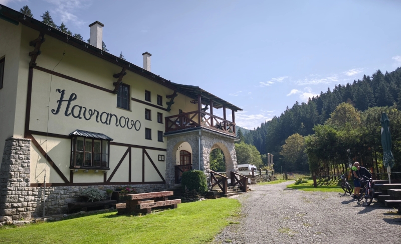
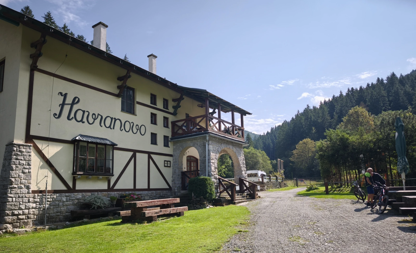
Havranovo Chalet: An oasis of peace in the wild heart of the Greater Fatra
Chata Havranovo, hidden at the end of the picturesque Belianska dolina valley, is a perfect refuge for anyone seeking an authentic connection with the wild nature of the Veľká Fatra mountains. Thanks to its location in the valley, it is an ideal destination for families with children and recreational cyclists, while also serving as a strategic base camp for challenging ascents of iconic peaks such as Borišov, Ploská, or Lysec. Enjoy your morning coffee with a view of the steep limestone cliffs, an evening gathering by the campfire, and the honest comfort that this chalet has been offering for decades.
Access Options
Unlike the high-altitude ridge chalets, Havranovo lies at the end of the valley, making it an extremely accessible destination for various groups of visitors.
1. From the village of Belá-Dulice (Main and easiest route)
-
Marking: Green / asphalt road through Belianska Valley
-
Walking time: approx. 2.5 to 3 hours from the village (approximately 10 km)
-
Characteristics: An easy walk through a gently ascending valley along the Beliansky stream, lined with impressive rock formations. Thanks to the asphalt surface, the route is ideal for families with strollers, small children, or undemanding hikers.
-
Note for motorists: The entry of motor vehicles into the valley is regulated. For accommodated guests, it is usually possible, upon agreement with the chalet keeper, to arrange a permit for entry and parking directly at the chalet.
2. By bike (Cyklodolina for everyone)
-
Route: Cycle route from the villages of Belá-Dulice or Necpaly
-
Characteristics: Belianska dolina is one of the most popular cycling locations in the region. Thanks to the quality asphalt and gentle incline, the route to Havranovo is perfect not only for mountain and trekking bikes, but also for family cycling trips or road bikes.
3. From Chata pod Borišovom (Descent from the ridge)
-
Marking: Green 🟢
-
Descent time: approx. 1.5 to 2 hours
-
Elevation gain: Descent ~650 meters
-
Characteristics: If you are traversing the famous Veľká Fatra ridge route, the trail from Borišov directly down to Belianska dolina will bring you straight to Havranovo. The path initially leads through steeper forested terrain, which gradually turns into a gentle valley road. An ideal stop for refreshment or overnight stay after a demanding crossing from Ploská or Kľak.
4. From the summit of Lysec
-
Marking: Blue -> connection to yellow or unsigned forest roads (for those in the know)
-
Characteristics: Lysec (1,381 m above sea level) stands proudly directly above the valley. Combining an ascent to this pristine scenic peak with a subsequent rest at the Havranovo cottage represents a full day of honest hiking in the quiet, less-visited corners of the Greater Fatra.
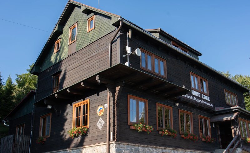
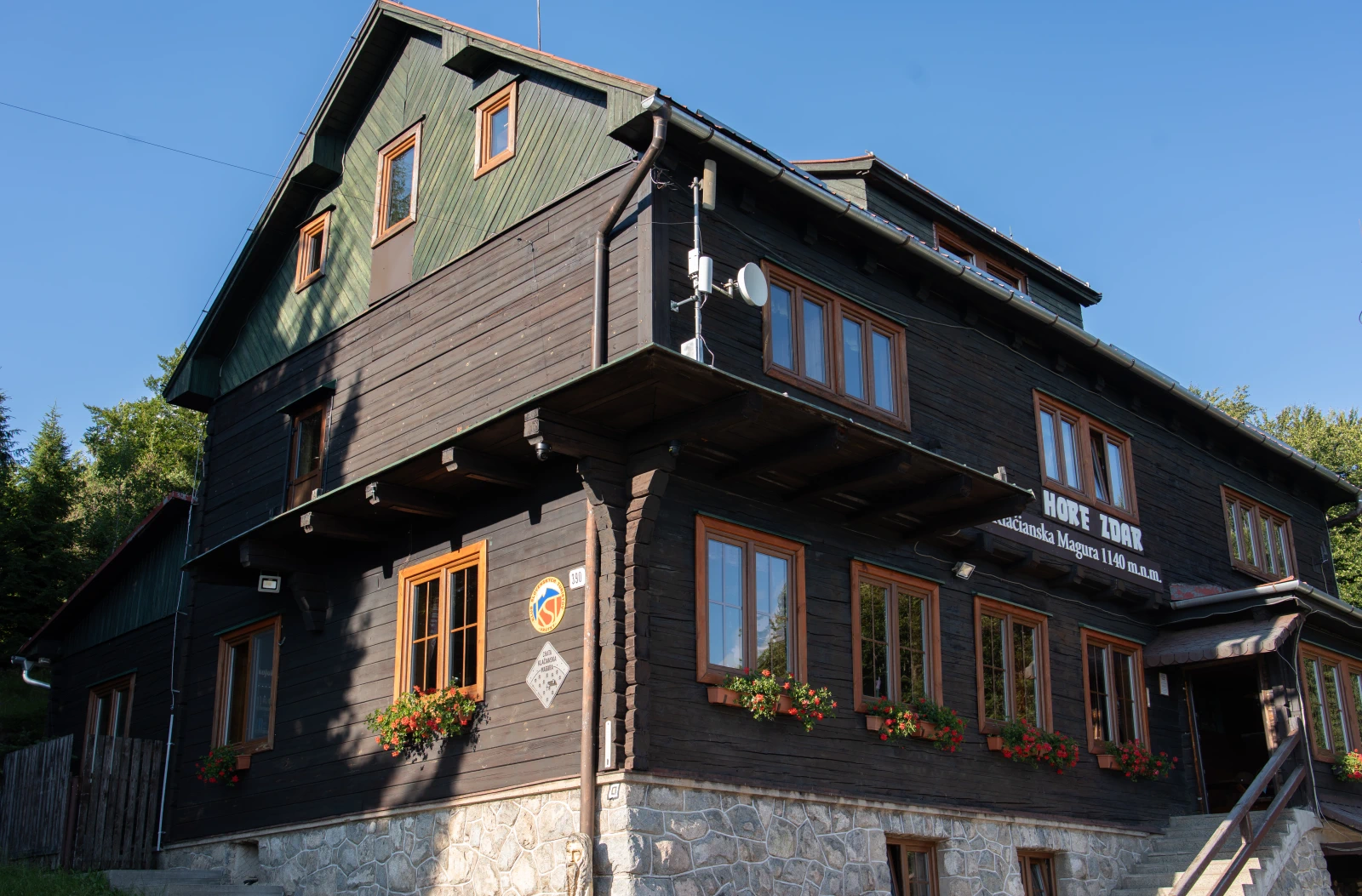
Chata pod Kľačianskou Magurou: Your high-mountain reward in the heart of Malá Fatra
Chata pod Kľačianskou Magurou (1,115 m above sea level) is a year-round gateway to the southern part of the Krivánska Malá Fatra. Whether you are an enthusiastic ski tourer, mountain biker, a family on a weekend trip, or hiking the main ridge, you will find a true mountain atmosphere at the chalet. Your reward for the ascent will be not only panoramic views of the entire Turčianska Basin and Veľká Fatra, but also the renowned home cooking – from hearty cabbage soup to fresh steamed buns. Come and recharge your energy on the sunny terrace or warm up by the crackling fireplace in winter!
Access Options
The cottage is accessible only on foot, by bike, or in winter on ski touring skis or snowshoes.
1. From Turčianske Kľačany (Fastest and most popular route)
- Marking: Green 🟢
- Ascent time: approx. 1.5 to 2 hours
- Elevation gain: ~700 meters
- Characteristics: Classic route starting at the end of the village Turčianske Kľačany (parking available). The trail leads mainly through beech and spruce forest with a steady, honest climb. The route is also suitable for fitter children and dogs. In winter, the trail is very popular for ski touring ascent and subsequent sledding descent.
2. From Sučany through the Sučianska valley
- Marking: Blue 🔵 → connection to green 🟢
- Čas výstupu: approx. 2.5 to 3 hours
- Characteristics: A quieter and less frequented alternative. The longer approach through the valley will be especially appreciated by tourists who seek the silence of the forest and want to avoid the main stream of visitors during sunny weekends.
3. Ridge route from Suchý
- Marking: Red 🔴 (ridge route) → Yellow 🟡 from the summit of Kľačianska Magura
- Ascent time: approx. 2 to 2.5 hours (from Chata pod Suchým via the summit Suchý)
- Characteristics: A beautiful high-mountain route with breathtaking views of the entire Malá Fatra. From the very summit of Kľačianska Magura (1,367 m above sea level), it is only a short, approximately 15-minute descent to the chalet along the yellow trail.
4. By mountain bike (MTB / E-bike)
- Route: Marked cycling route from Turčianske Kľačany
- Characteristics: Š gravel and forest logging road climbs in switchbacks from the valley right up to the cottage. Due to the elevation gain, it will test every cyclist's fitness, but on a modern mountain or electric bike it offers a perfect sporting experience with a well-deserved reward at the finish.
Short video preview of the descent and surrounding area
Video recording: Video preview of the descent and surrounding area
Map
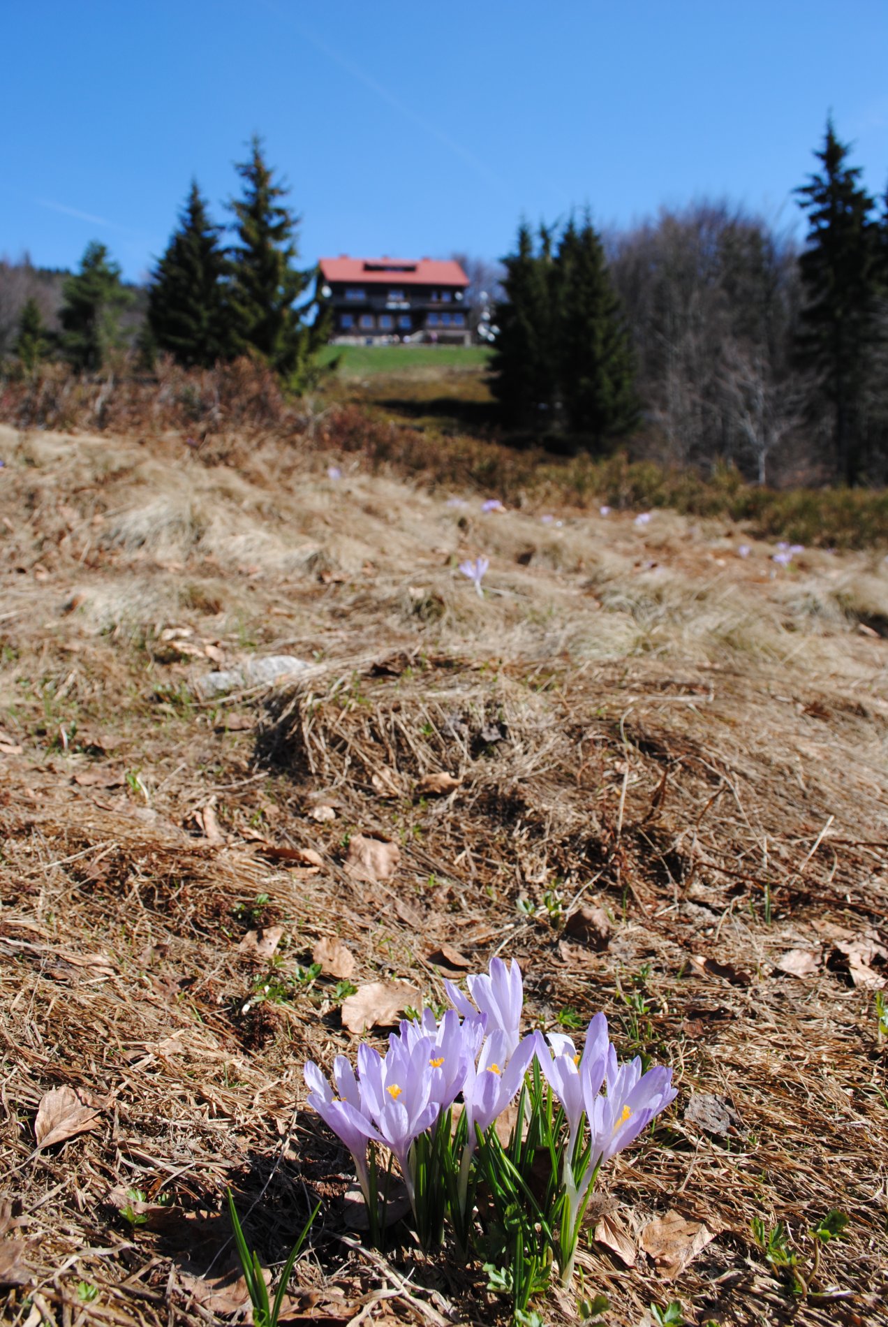 In spring, many crocuses grow around the cottage
Files for download
| # | Route for download | Format |
|---|---|---|
|
Route for Locus Map, Google Earth | .kml |
|
Route for Mapy.cz (add link) | .gpx |
Photo gallery


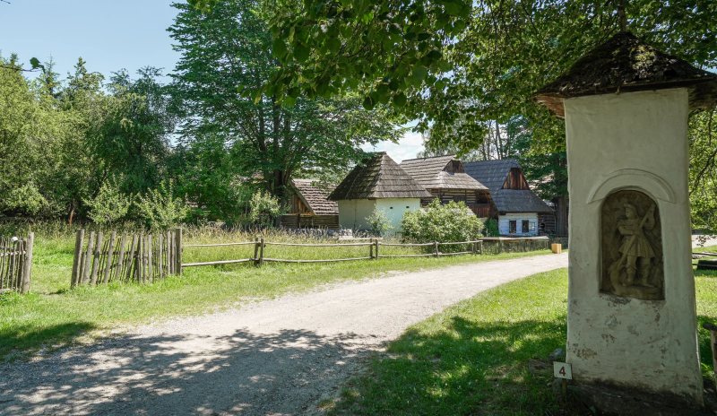
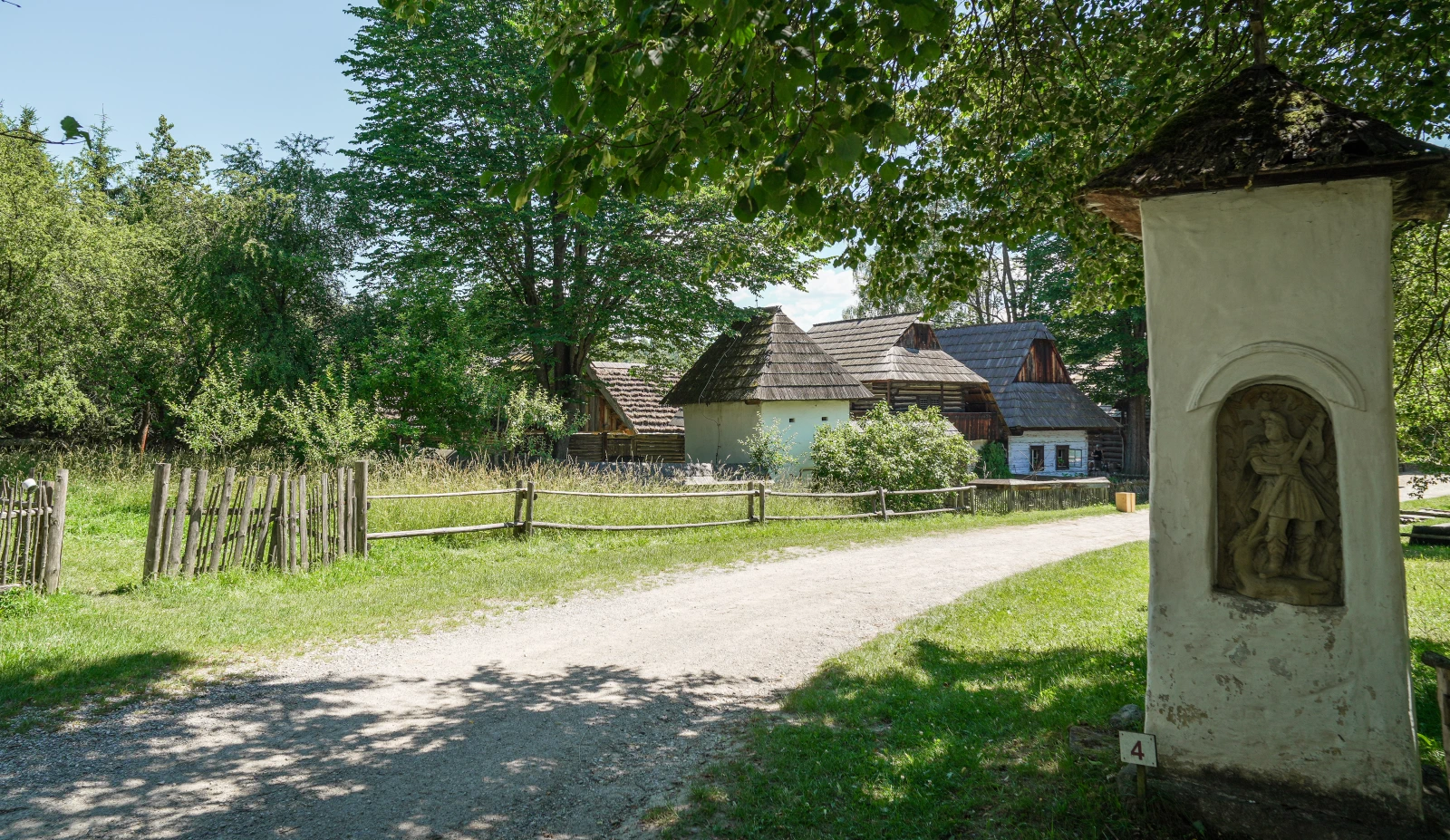
Discover the charm of the Museum of the Slovak Village in Martin
Take a step back in time for a moment. In the picturesque setting of Jahodnícke háje, just a stone's throw from the center of Martin, lies Museum of the Slovak Village – the largest ethnographic open-air exhibition in Slovakia. This place is not just an "ordinary" museum. It is a living village where time has stood still and which breathes the stories of our ancestors.