
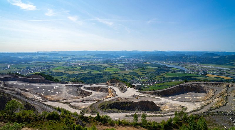
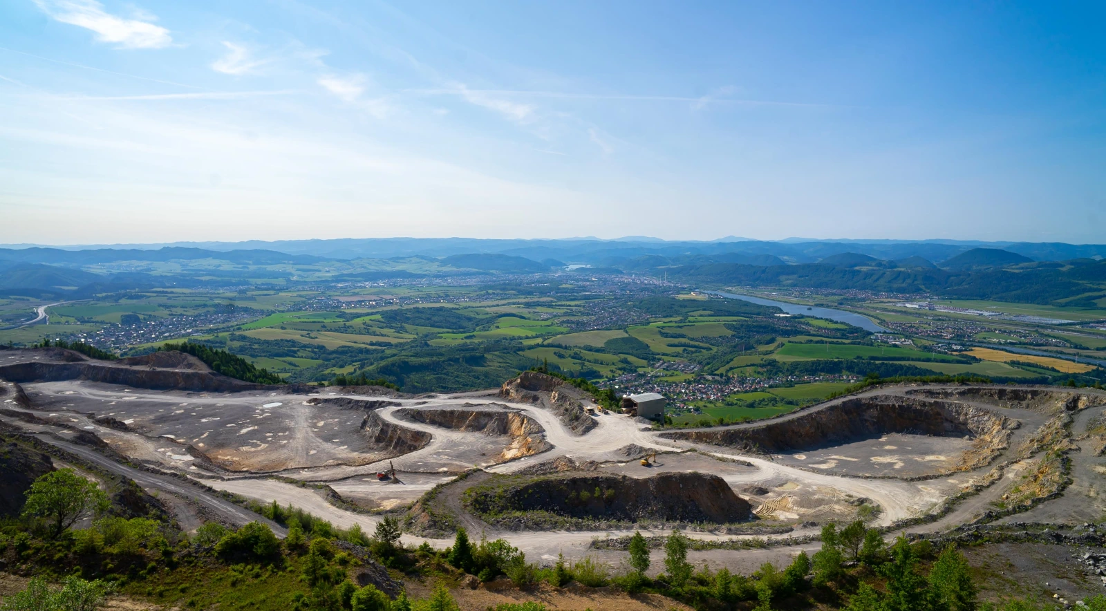
This peak is rich in history and a useful source of limestone extraction, as well as a popular destination for cyclists and hikers. It is particularly appealing for its views, which open up a panorama of the entire city of Žilina. You can set out from Strečno along a path that leads directly past the castle, or from the village of Stráňavy. Alternatively, there is an interesting route from the village of Višňové to the peak of Minčol and then on to Polom.
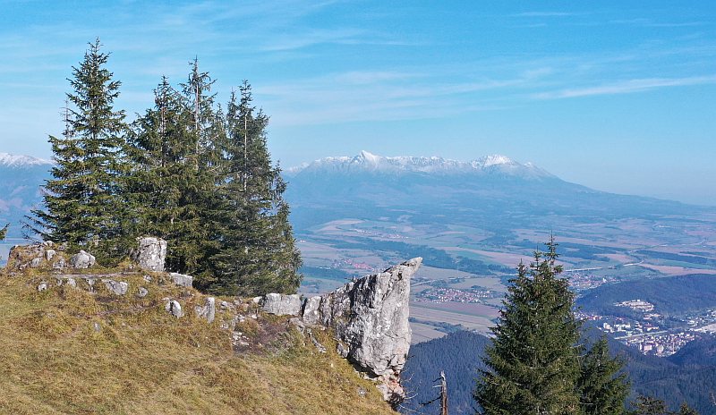

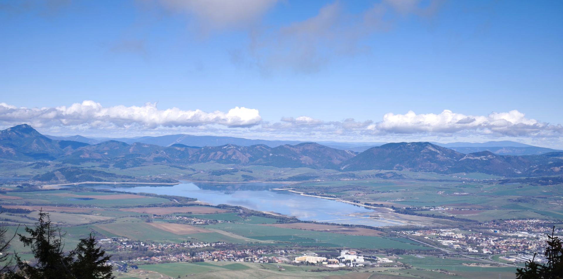
Mount Poludnica, which lies on the edge of the Low Tatras, is like a lookout point over the wide surroundings. After the ascent, views open up to the ridge of the Low Tatras, the Western Tatras, and also a piece of the High Tatras with the majestic Kriváň. From Poludnica, the vast Liptov region and Liptovská Mara with the distant Veľký Choč will not escape our sight.
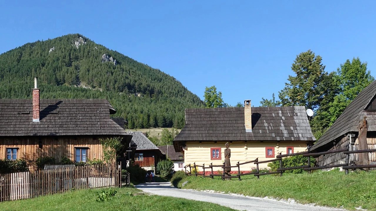

Vlkolínec is a wooden settlement – a reserve of folk architecture of the Slovak Republic inscribed on the UNESCO World Cultural and Natural Heritage List. It is an example of a medieval settlement with architecture of submontane areas. At present, the village still has its permanent inhabitants. During the summer season, cultural events are held here, where we can be participants of folk music or watch demonstrations of the work of woodcarvers and folk craftsmen.
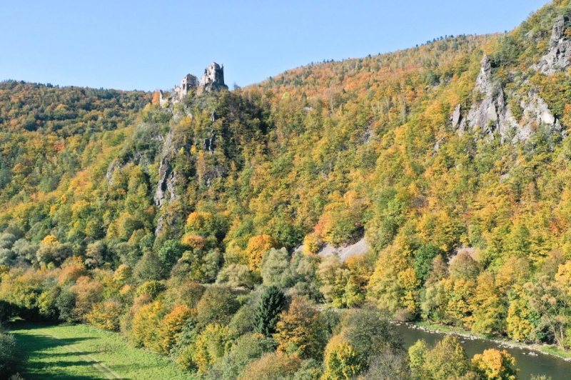

Starhrad played a strategic role in the past due to its location. It controlled an important ford across the Váh River in the Strečno Gorge. It was an important passage from the upper Považie region towards Turiec and Liptov. It also served as a toll station. The first written mention dates back to 1323, but it is indirectly mentioned as early as 1235.
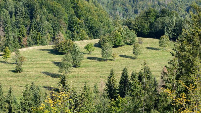
The area was created by Wallachian colonization, which took place from the 15th to the 18th century, and belonged to the Strečno domain. In the surroundings there are many hiking and cycling trails. The locality is also attractive for its abundant occurrence of mushrooms.
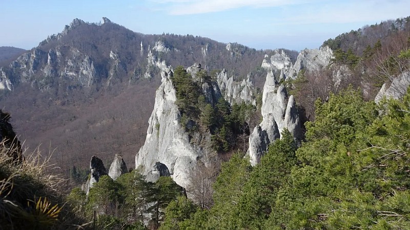
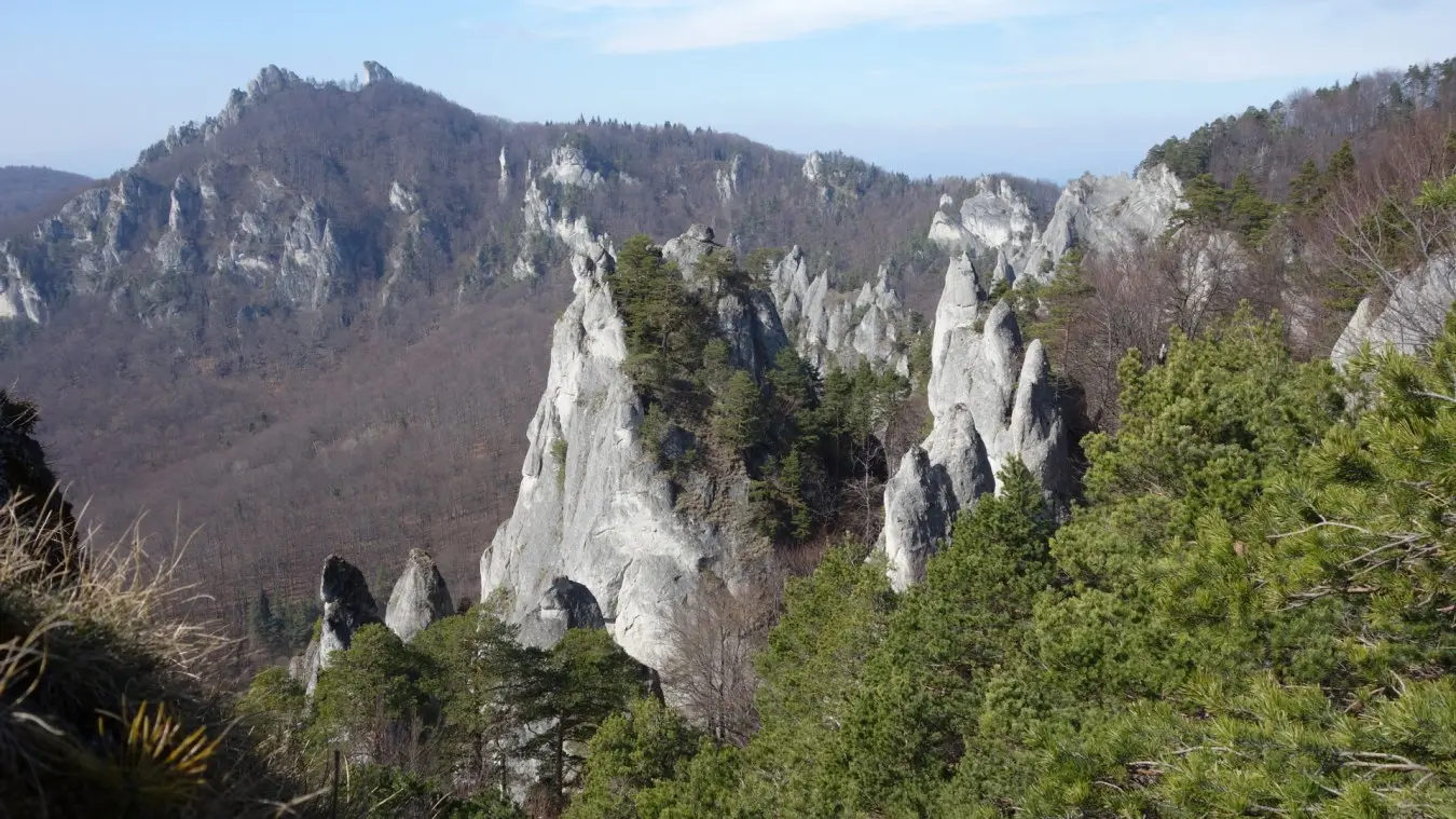
Near Žilina is located the Súľová Rocks National Nature Reserve, which is characterized by its unmistakable pointed rocks formed by conglomerate. They originated in the Tertiary period (Eocene), when rivers carried pebbles of limestones and dolomites, which settled and cemented into thick layers, subsequently folded by tectonic movements.
On a relatively small area, there are diverse rock formations – towers, needles, windows, or bizarre-shaped cones. Among the most famous are Gothic Gate and the cave Šarkania diera. There is also the ruin of Súľov Castle. The hiking trails are easy, accessible from Žilina via the village of Lietavská Závadka or from Bytča. The area is subject to the 5th degree of protection.
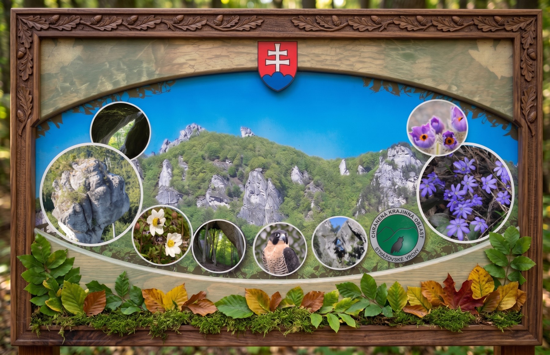
Šarkania diera Cave
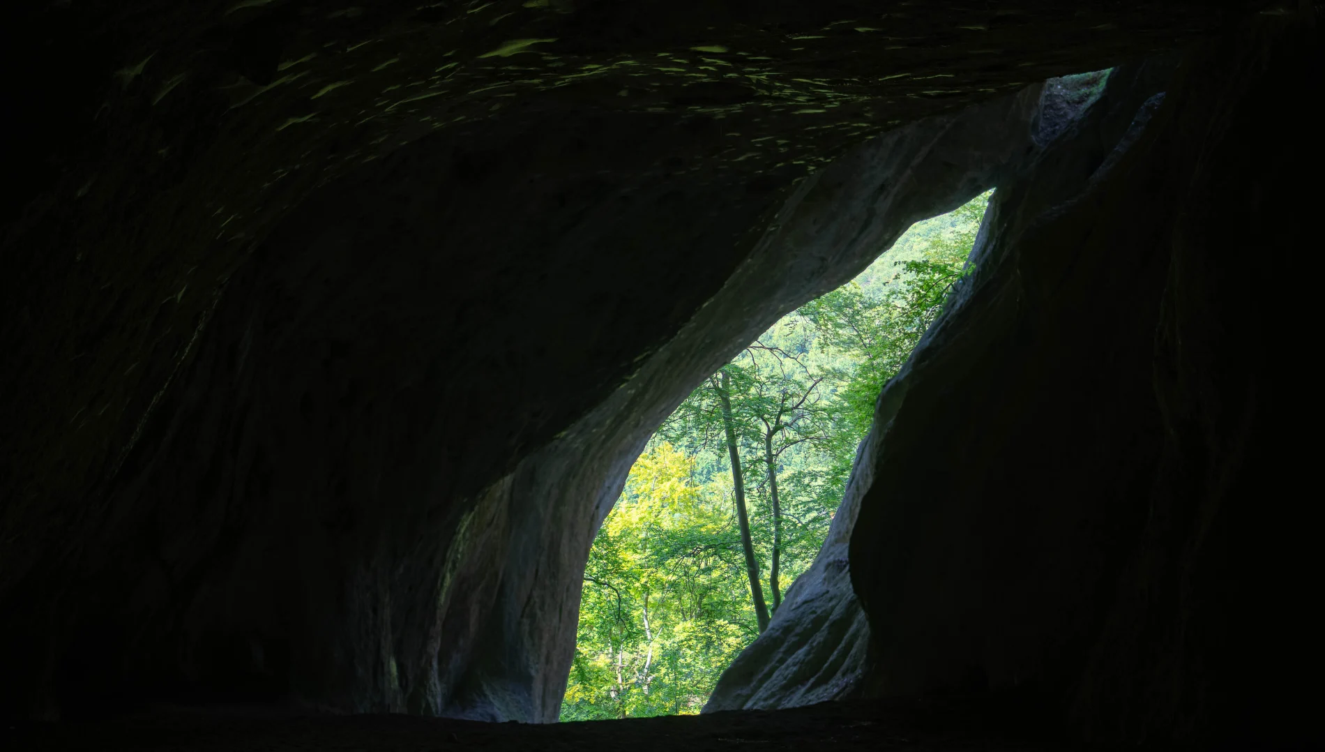
Šarkania diera Cave is a freely accessible cave and a national natural monument approximately 60 meters long. It is known primarily as an important archaeological and paleontological site.
Common liverwort
It is a protected and popular subject for spring photographers. When and where to look for it in Súľov? Flowering period: It is among the first heralds of spring. In the Súľov rocks, it blooms very early, usually in March and April, often even before the trees fully turn green.
Slovak pasqueflower
Pasqueflower (Pulsatilla) is one of the most beautiful and most striking spring herbs, known for its large bell-shaped flowers. A Slovak unique: In Slovakia (including the Súľovské rocks) grows the beautiful Slovak pasqueflower (Pulsatilla slavica), which is a Western Carpathian endemic – meaning that nowhere else in the world except in our and adjacent mountains will you find it in its natural environment.
Stratený budzogáň
The Lost Mace (also known as the Zbyňov Mace) is a unique rock formation and a popular tourist attraction located in the Súľov Mountains, on the slope below the Žibrid peak, near the villages of Zbyňov and Rajecké Teplice.
Peregrine Falcon (Falco peregrinus)
It is a majestic bird of prey, which became world-famous for one incredible feature – it is the fastest animal on our planet. When it spots prey from above and launches into a steep dive, in the shape of an aerodynamic drop it can reach speeds well above 300 km/h (the highest recorded values approach 390 km/h).
Gothic Gate
The greatest landmark: Gothic Gate is the most famous, most beautiful, and most photographed natural formation in the Súľov Rocks. It is located on a rocky ridge aptly named Orgány.
Fauna of the Súľová Rocks
In quiet corners lives the Eurasian eagle-owl (Bubo bubo), which is endangered mainly by the destruction of nests. In the rock walls also nest the western jackdaw and the Eurasian hobby. The Eurasian lynx occurs in the area only transiently. You can often encounter the red squirrel.
Flora of the Súľov Rocks
The area hosts a number of endemic plants, for example Carpathian soldanella, middle pasque flower, shining pink or bare primrose. Among the mountain species we find Clusius' gentian, small bellflower, European globe-flower and several species of orchids.
Hiking in the Súľov Rocks
Start: Lietavská Závadka
The trip starts in the village of Lietavská Závadka, which is served by a bus from Žilina. Parking is available in the village, but make sure to leave enough space for buses to turn around.
The path continues along the blue trail - the Way of the Cross towards Roháčske sedlo (shelter, benches). From there we set off along the green trail to the viewpoint and to the Rock Window. Here the terrain is slightly more challenging and will test our footwear.
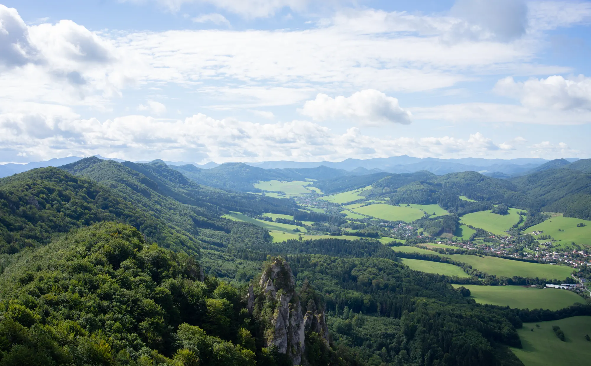
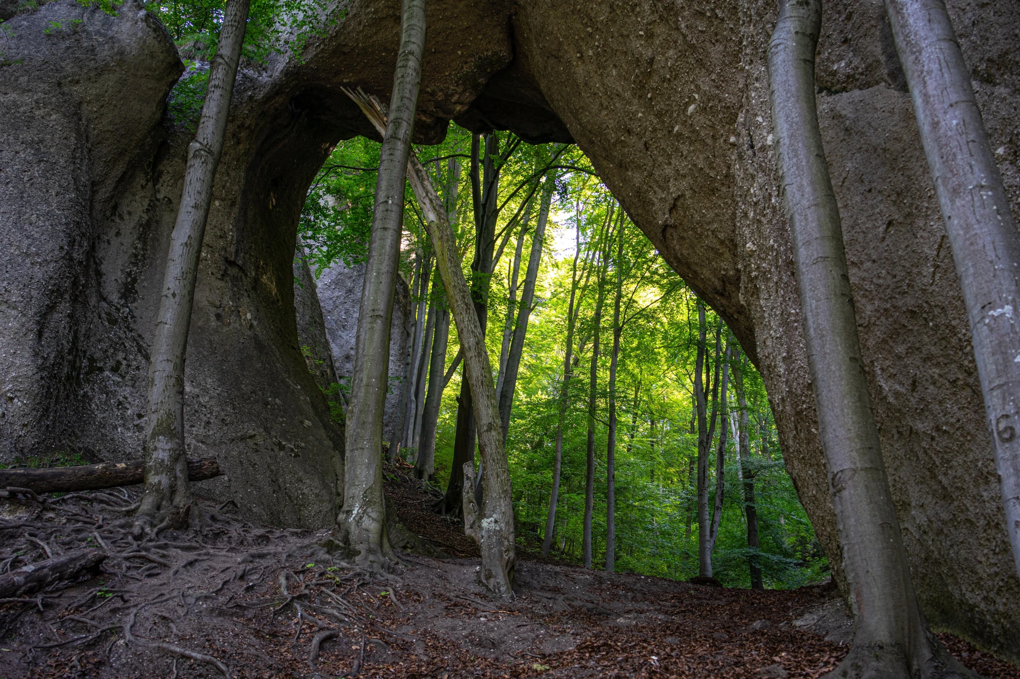
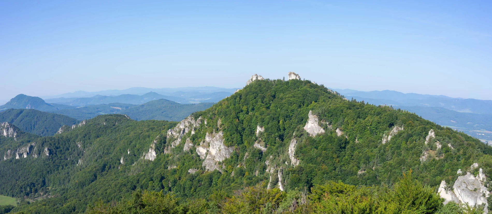
The section along the green trail offers beautiful views, but be careful, the cliffs are deep. Then we switch to the yellow trail 🟡 towards Lúka pod Roháčom. The final ascent to the cave Šarkania diera leads along ladders and steep terrain – we recommend sturdy footwear and increased caution.
Destination: Šarkania diera
Our goal is the Šarkania diera cave, which is an important archaeological site from the Neolithic.
Route map:
| Route for download | Info | |
|---|---|---|
 |
Route for Locus map, Google Earth app | .kml |
|
Route for Mapy.cz | .gpx |
Photo gallery:


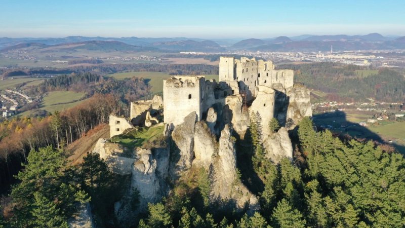
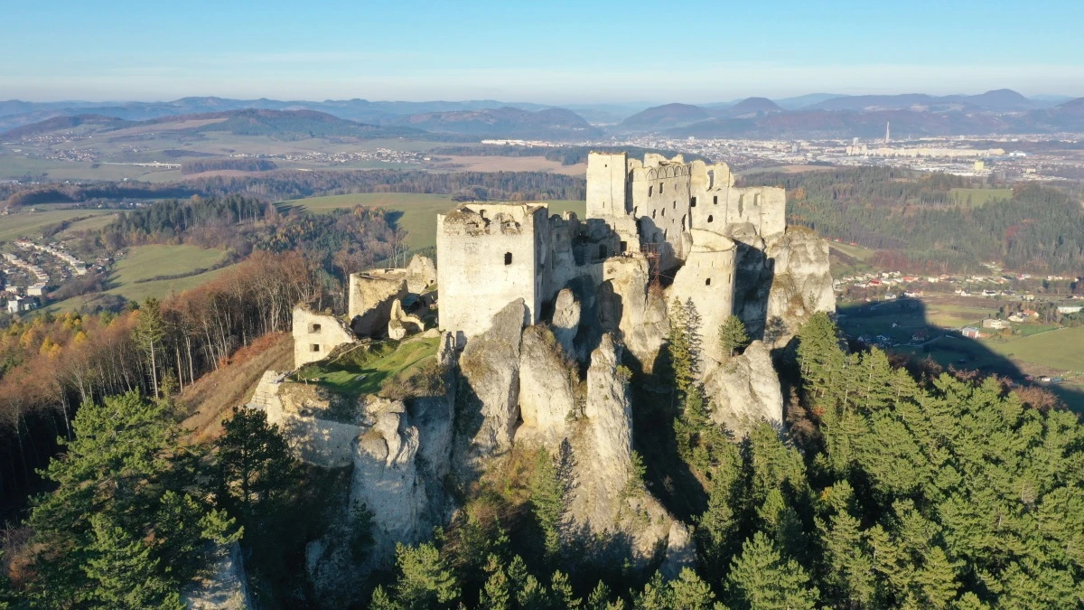
Lietava Castle is located 10 km from Žilina on the edge of the Súľov Mountains. With its area (1 hectare), it ranks among the largest and most beautiful preserved ruins in Central Europe. Since 1999, the Association for the Rescue of Lietava Castlehas been taking care of its rescue and sensitive restoration. The castle is freely accessible all year round, and in part of the middle castle you will find an exhibition of archaeological finds and history.
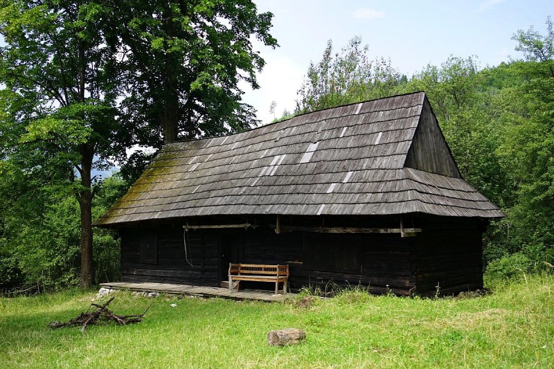
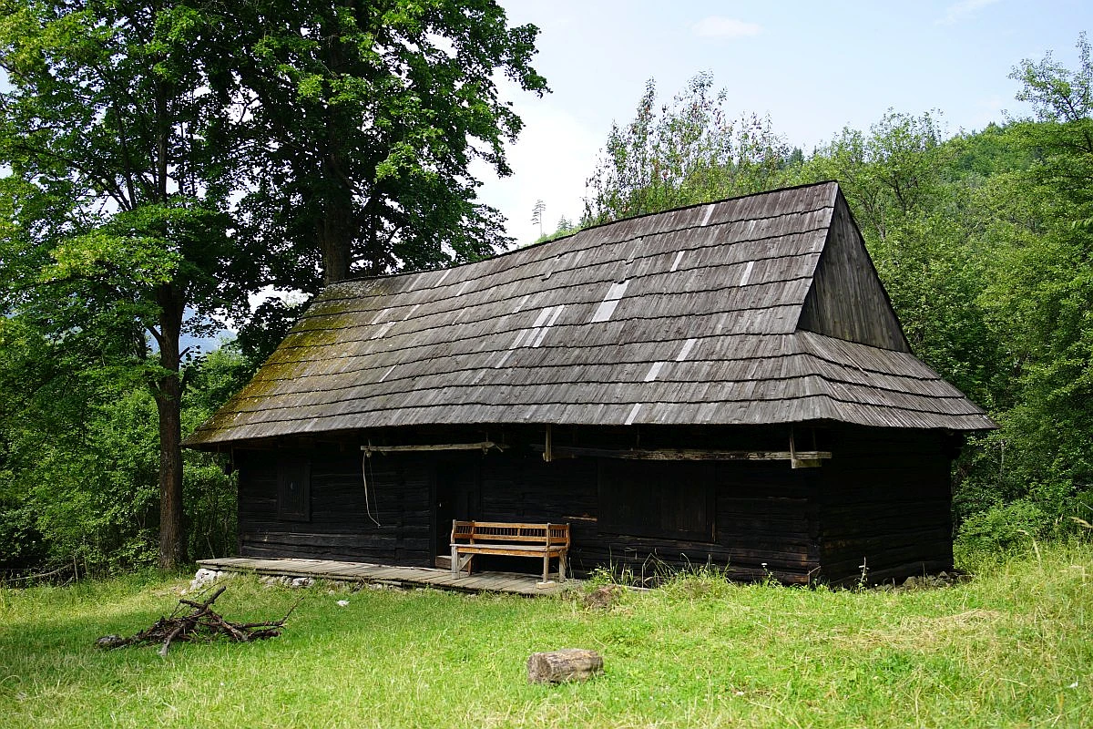
Similar to Podšíp, the settlement of Fedorovo is also an example of a rural architectural settlement where farming was the predominant means of livelihood. Access to the settlement leads directly from the village of Stankovany along the yellow trail marker  , which also heads towards the distinctive Mount Šíp.
The path is not too steep, it can be managed even on a mountain bike with better suspension, but it may not be suitable for younger cyclists due to the difficulty of the terrain. Dense forest vegetation alternates with the magic of light and shadows and sunny meadow sections, where in July many medicinal plants grow, such as St. John's wort or agrimony.
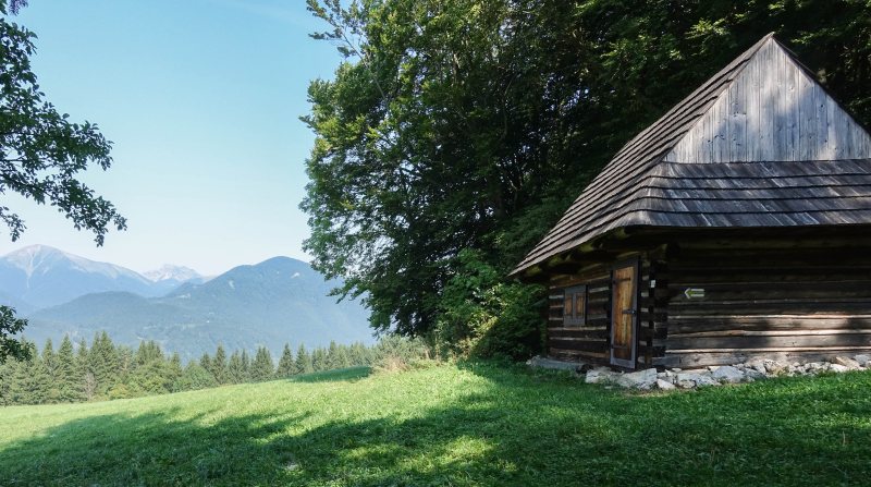
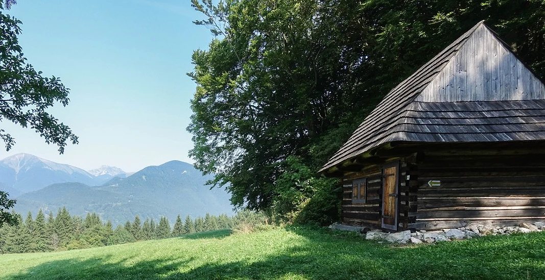
This enchanting mountain settlement, hidden high above the confluence of the Orava and Váh rivers directly beneath the majestic peak of Šíp, is a true step back in time. Although the last permanent residents left it in the 1950s, thanks to enthusiasts its original wooden cottages still stand today and form one of the most photogenic places in Slovakia.
It is located near the village of Stankovany and the National Nature Reserve - Šíp, whose territory is notable for its preserved vegetation zonation, rare plant species, and protected animals. The original rural area of Podšíp has preserved its landscape and architectural character to the present day, and due to its social significance, it is included in a monument zone.
It is named after the hereditary reeve Stanko. The settlements of Podšíp and Fedorov were probably established through resettlement during the Turkish raids. Available sources state that the settlement of Podšíp is mentioned in 1808, as is the settlement of Fedorov, which is also located near the village of Stankovany.
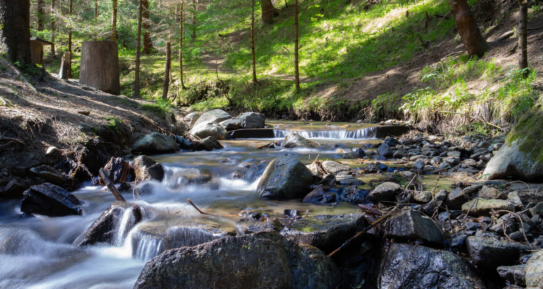
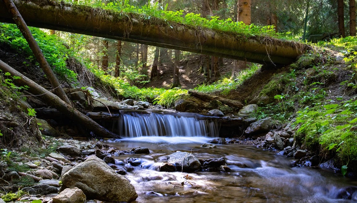
Višňovská dolina is located approximately 10 km from Žilina and is nestled in the mountains Lúčanská Fatra. It is a popular destination for its climbing terrains, including the challenging route "Panter 8b+". At the top of Hoblík (933.6 m above sea level) there is a via ferrata. Several sources of drinking water spring up in the vicinity of the valley, with the spring directly in the village of Višňové being a sought-after spot for local residents.
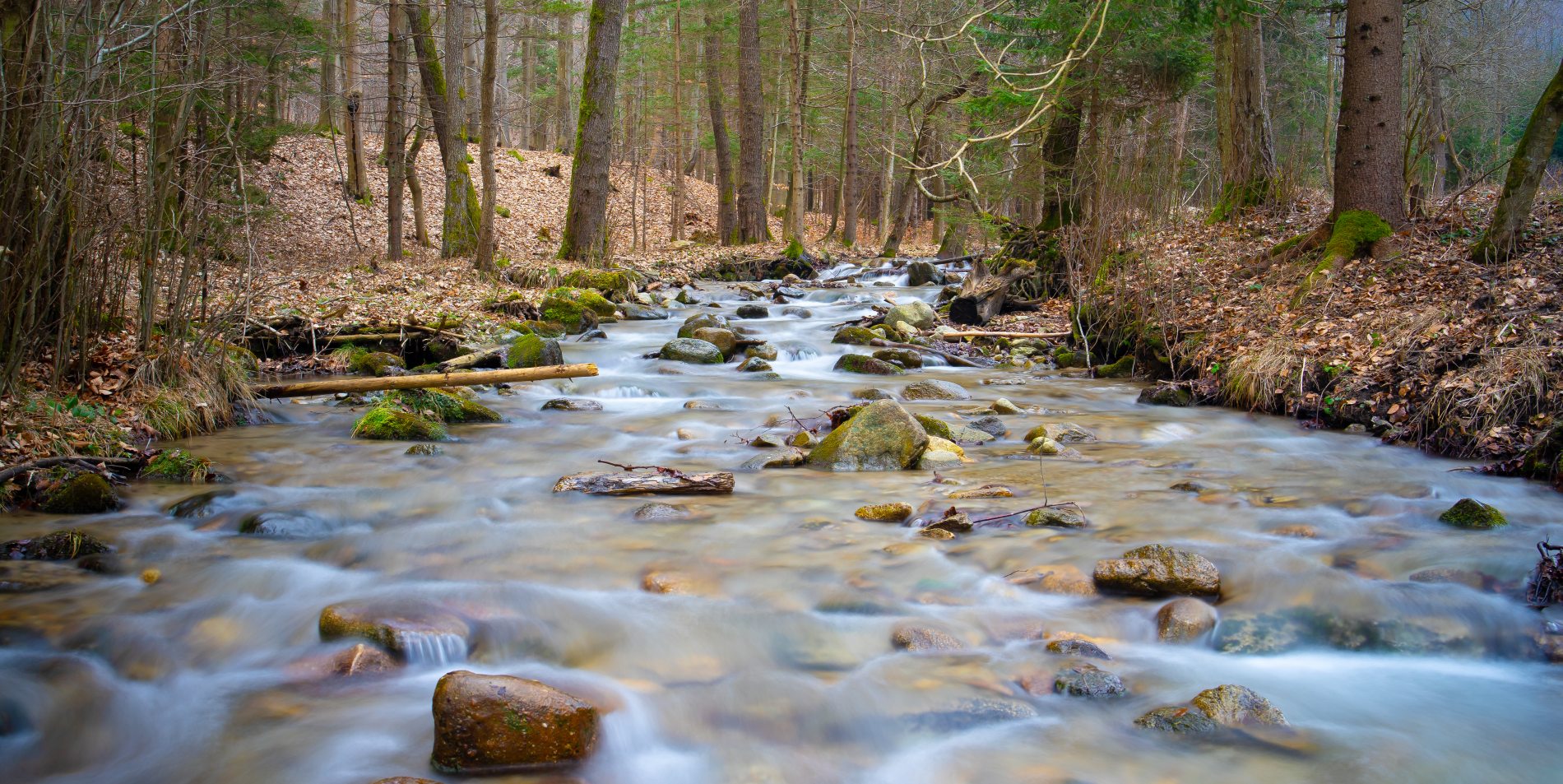
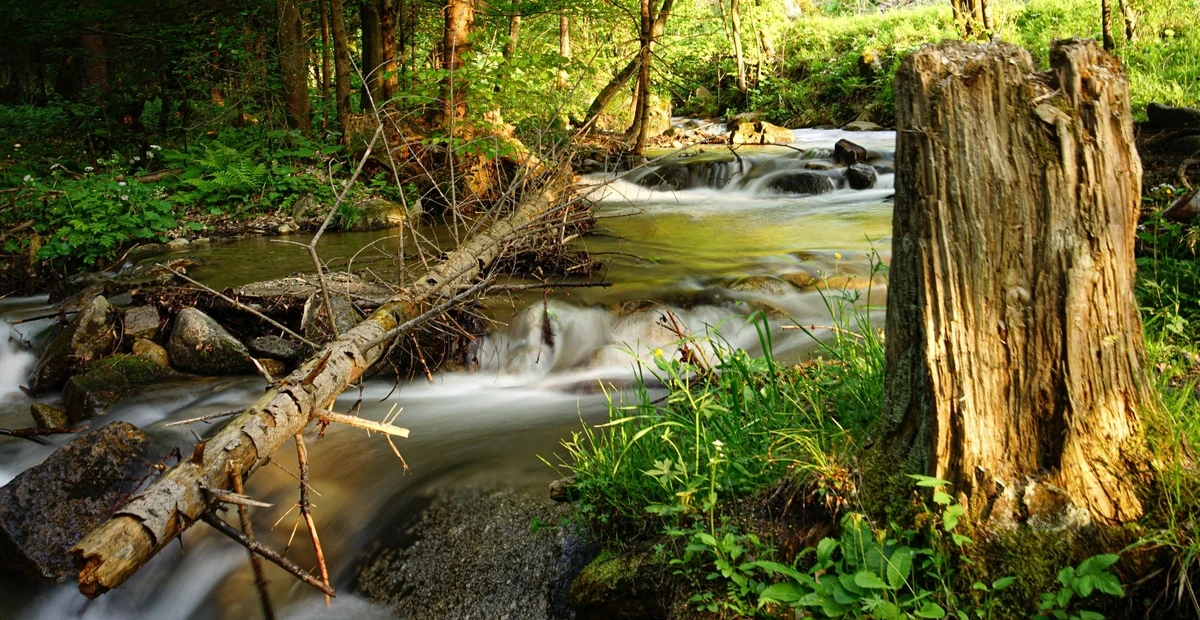
Turská dolina is situated near the city of Žilina on the edge of the Lúčanská Fatra, behind the village of Turie. The Turiansky potok stream flows through it. The valley trail consists of an asphalt path with a gentle incline, ending at a forester's lodge approximately 7 km from its mouth. Near the entrance, you can get drinking water. The surrounding nature gives an impression of being preserved and almost untouched.
