
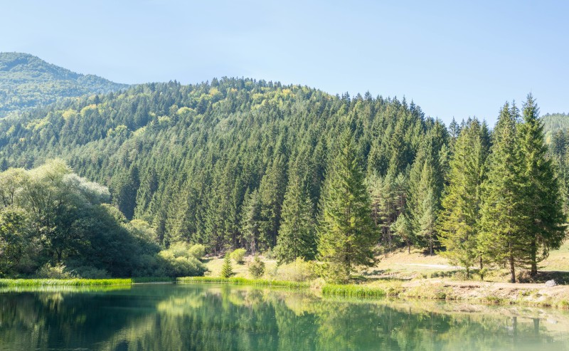
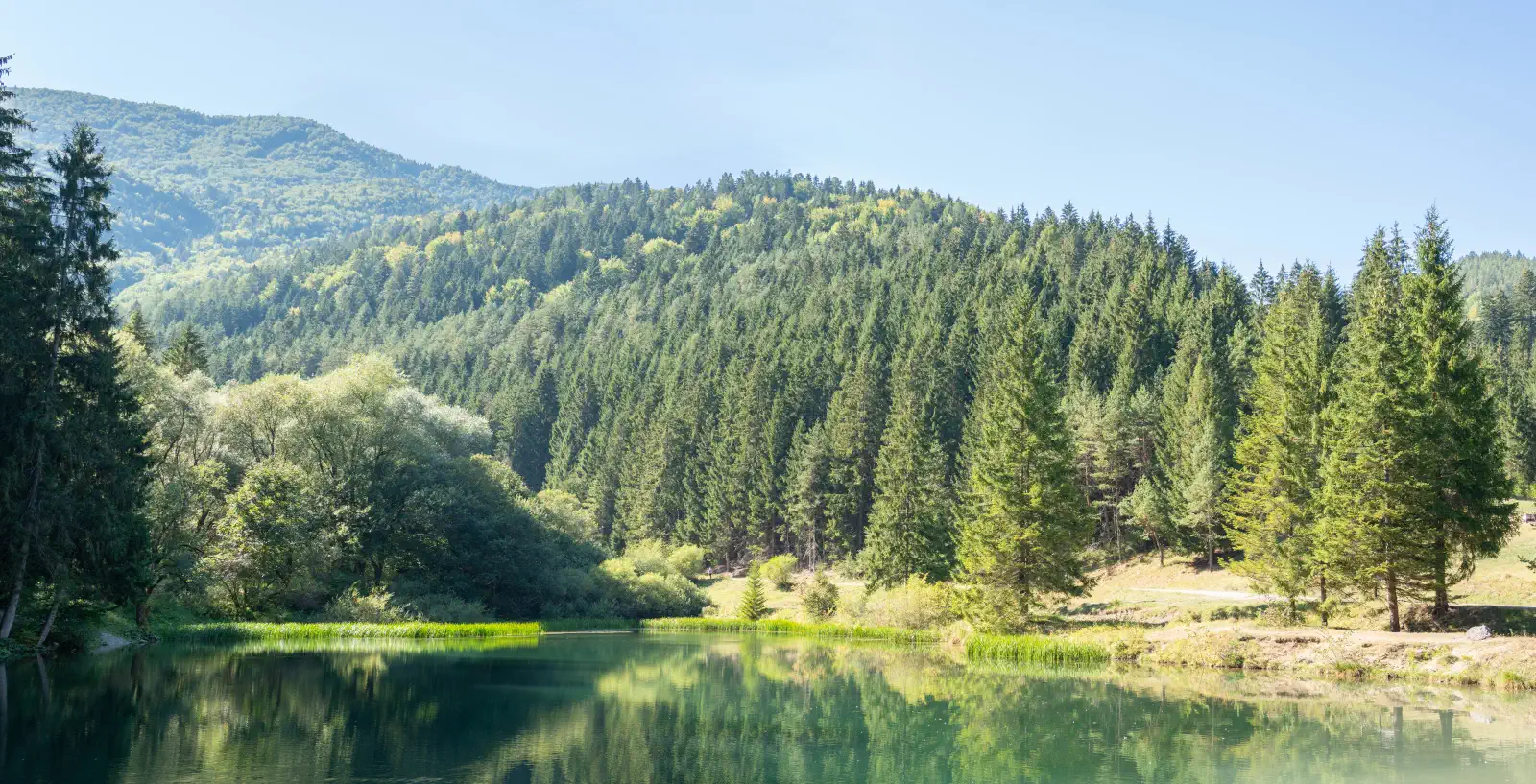
Čutkovská dolina belongs to the most popular and most accessible gateways to the Veľká Fatra mountain range. It is located right on the edge of the town of Ružomberok and combines family relaxation, traditional Liptov gastronomy and mountain nature.
Main attractions and points of interest
-
Educational trail "Known – unknown Čutkovská dolina"
-
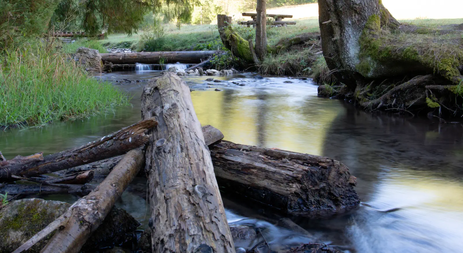
It runs the entire length of the valley (approx. 6.1 km one way) alongside the Čutkovo stream.
-
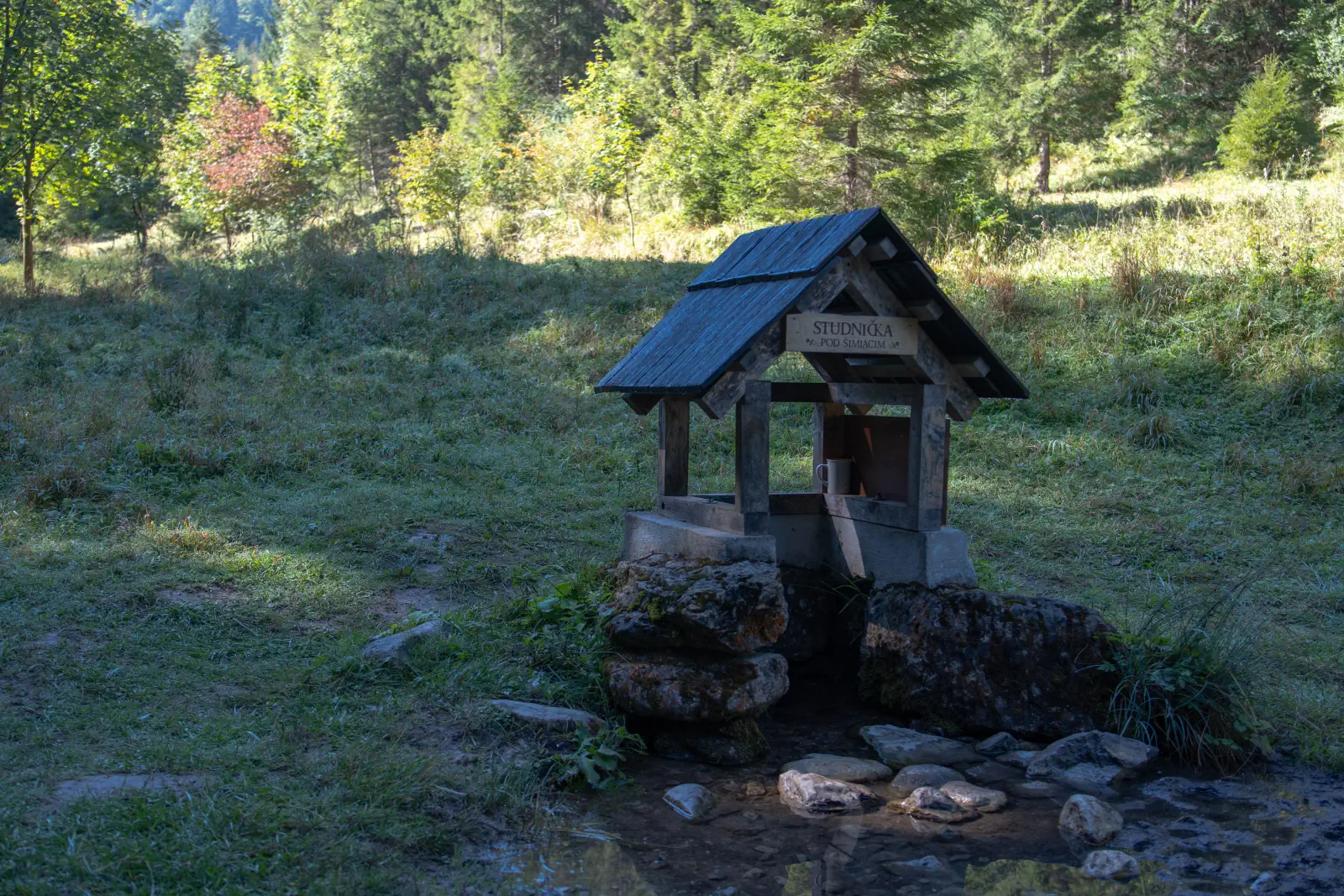
Along the route there are information boards, rest benches, springs and wooden bridges.
-
-
-
The trail ends at the head of the valley at the Čutkovský kaňon (Za Dielom gorge).
-
-
Waterfalls and gorges
-
Jelení vodopád: A waterfall approximately 24 meters high in a side ravine, accessible via wooden walkways and stairs.
-
Jamišný vodopád: A smaller but picturesque waterfall (approx. 12 m) in another side gorge.
-
Tiesňava Za Dielom: A rocky gorge 68 meters long with cascades and a wild stream.
-
-
Area at the beginning of the valley (suitable for families with children)
-
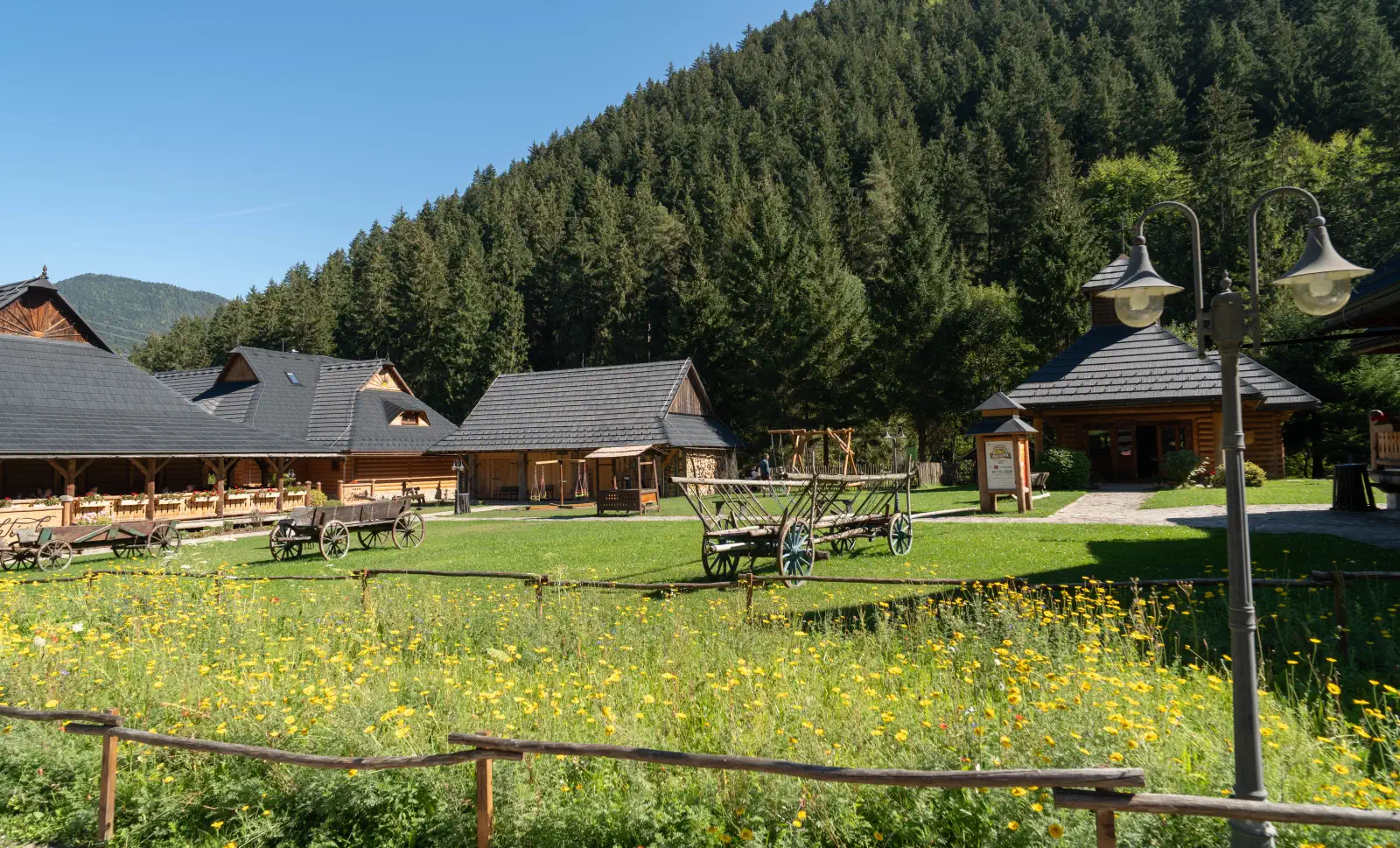
Koliba u dobrého pastiera: Complex of traditional wooden houses offering Liptov cuisine, a bakery, a brewery, and a chapel.
-
-
Detský zábavný park Obrovo: Area thematically dedicated to the giant Čutko with climbing frames, trampolines, archery, and a zip-line course.
-
Rybník a zvieracia obora: Opportunity for fishing, a mini-zoo with domestic animals and wild boars.
-
-
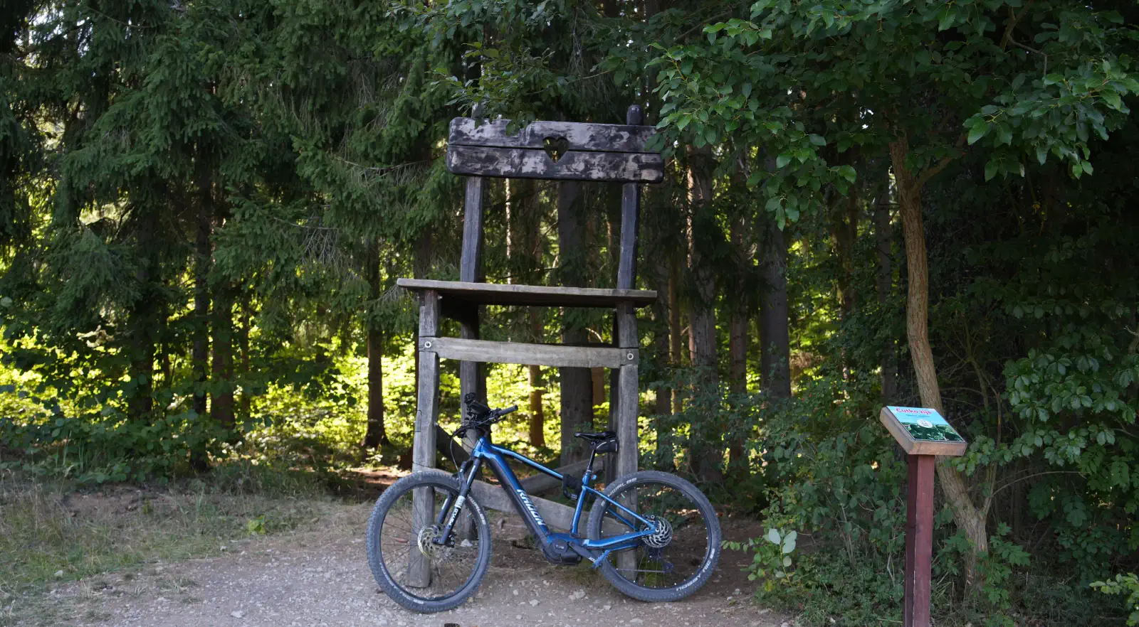
Connection with Hrabovská dolina
Location map:
Photo gallery:


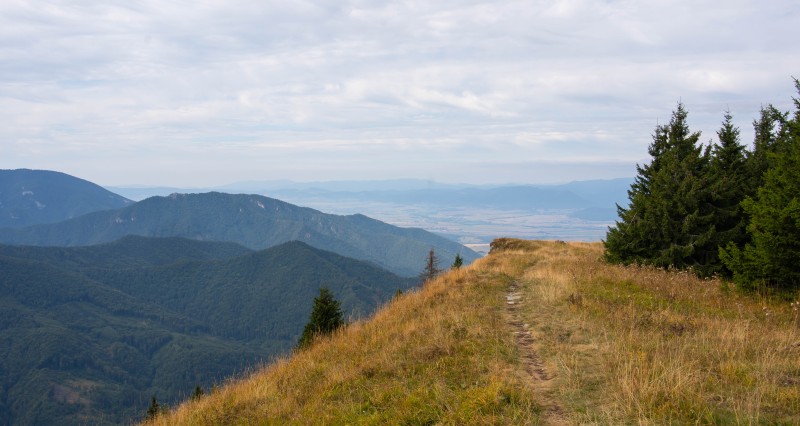
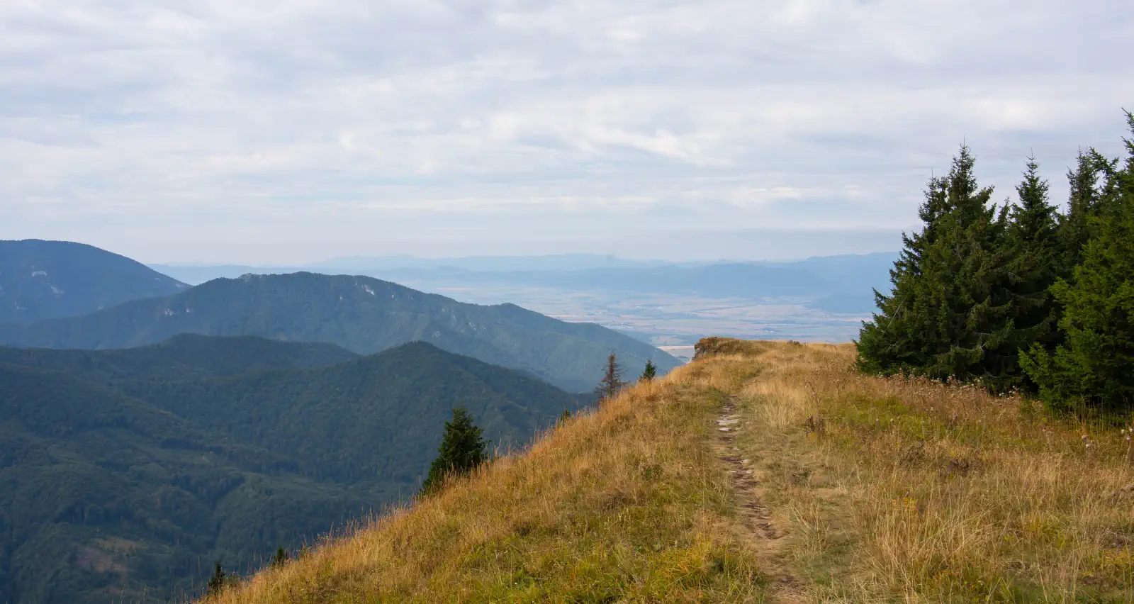
Lysec (1,383 m above sea level) is among the most prominent viewpoints of the Turiec branch of the Veľká Fatra mountains. Thanks to its position on a ridge extending into the Turčianska kotlina basin, it offers surprisingly open circular panoramas, while unlike nearby Borišov or Tlstá, it still maintains a peaceful, less crowded atmosphere.
Access and transport
1. Ascent: Chata Lysec ➔ Grúň ➔ Lysec
-
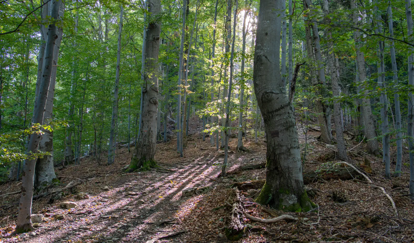
The path follows the blue trail through the locality Grúň. The ascent in this direction is quite steep and leads mostly through dense forest (in leaf or after rain it can be slippery – trekking poles help significantly).
2. Belá Dulice ➔ Poľka ➔ Lysec ➔ Poľka ➔ Belá Dulice
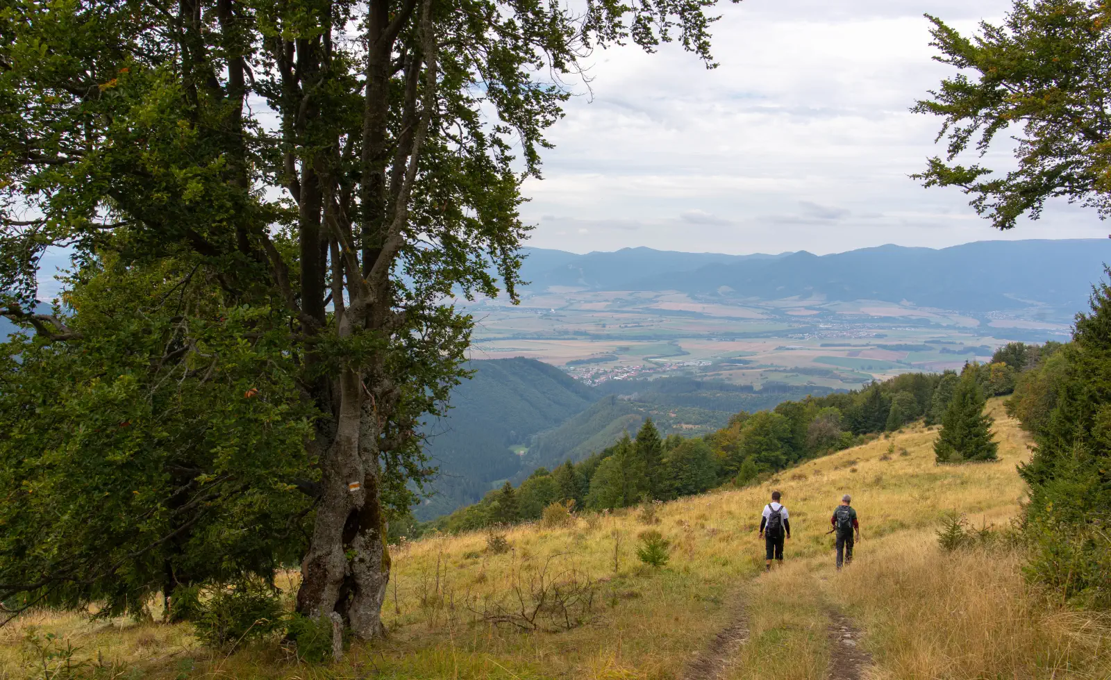
- For the "there and back" route, we can also use the yellow hiking trail 🟡 directly from Belá Dulice. The route via Poľka leads through preserved mountain meadows that abound with flowers in summer and provide continuous contact with the panorama of the surrounding mountain ranges.
💡 Interesting facts at the end:
-
Prehistoric hillfort Lysec: The summit areas hide traces of an elevated fortified hillfort of the Lusatian culture from the younger Bronze Age, which belonged to the highest situated in Slovakia.
-
NPR Lysec: A national nature reserve protecting preserved beech forests, fir forests, and limestone rocky formations with an abundant occurrence of protected plants.
Location map:
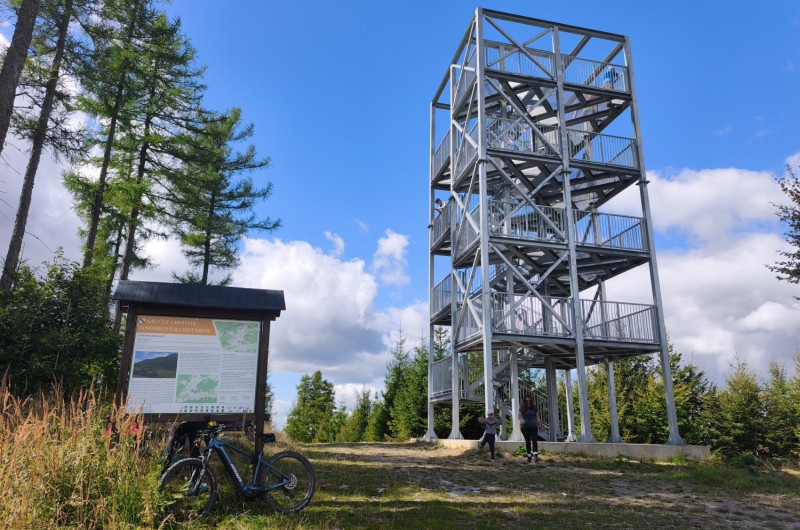
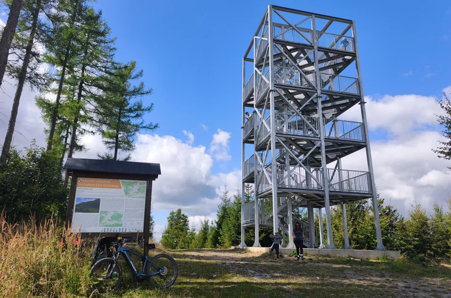
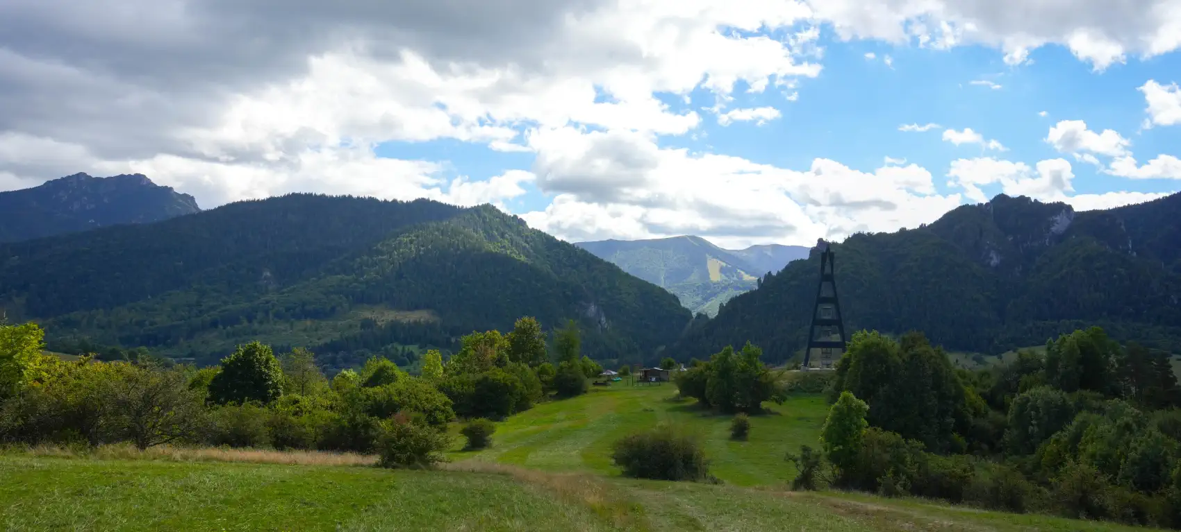
The lookout tower on Mravečník hill (992 m above sea level) is among the youngest and most beautiful viewpoints in the Kysucká Highlands. It rises directly above the well-known village of Terchová and offers a panorama of Malá Fatra without the crowds that you usually encounter in Jánošík's Gaps.
Basic information:
- Location: Kysucká Highlands, Mravečník peak above Terchová (Žilina District)
- Altitude: Peak 992 m above sea level, the observation tower itself stands just below the summit at an altitude of approximately 990 m above sea level.
- Construction: Five-story tower on concrete foundations with an observation platform
- Height: Approximately 18 meters
- Accessibility: Open year-round and freely accessible
Points of interest and views:
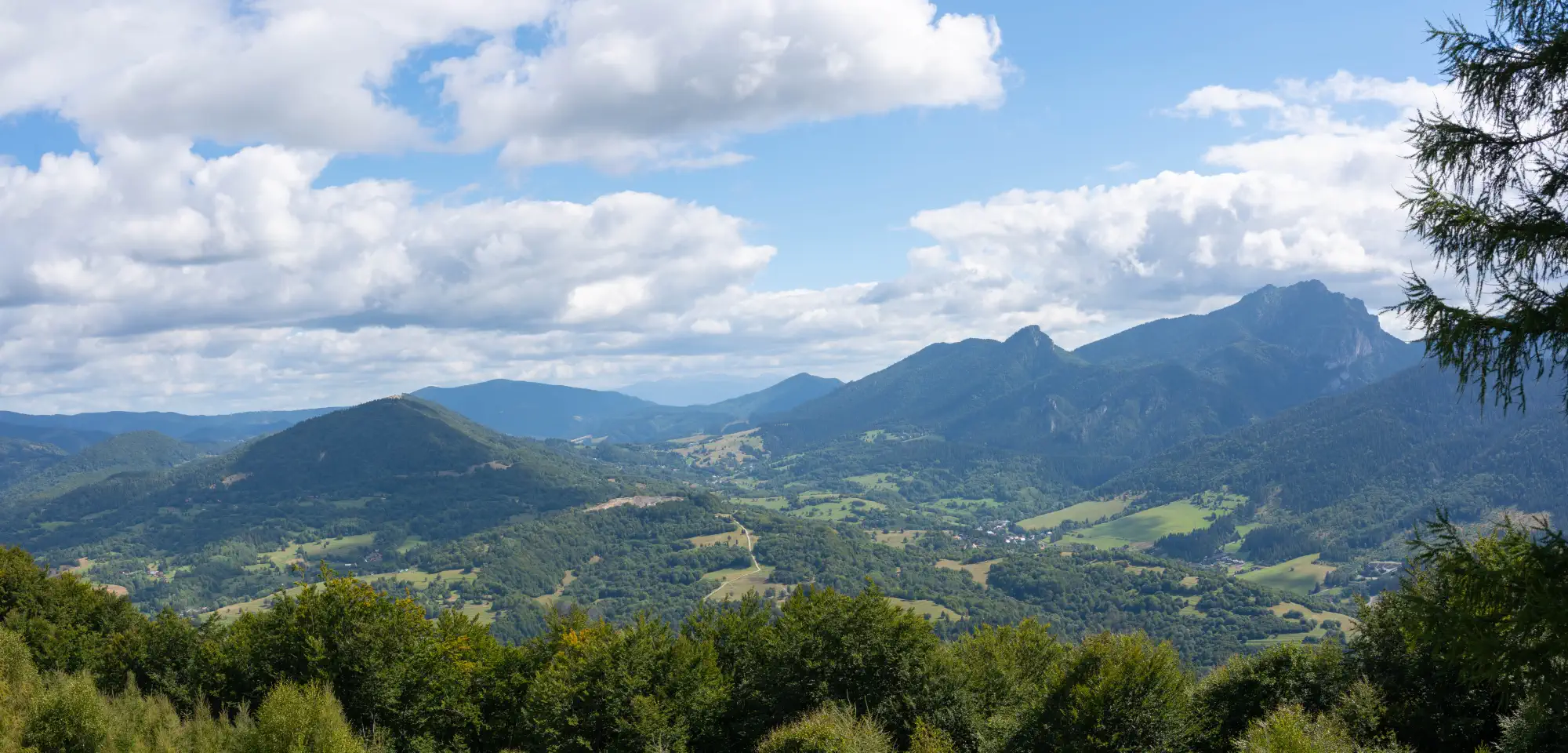
The main attraction is the 360-degree circular view. From the top floor, you can see Veľký and Malý Rozsutec. In favorable weather, you can see the Kysucká Highlands, Oravská Magura, Chočské Hills, Babia hora, and the silhouette of the Western Tatras.
Directly below the lookout tower, there is a seating area with a table and benches, ideal for resting or having a snack before the descent.
Access routes:
- From Terchová: A shorter, but steeper alternative leads from Terchová directly from the viewpoint Terchovské srdce along the blue trail 🔵, suitable especially for hikers. The ascent from there takes approximately 45 to 60 minutes. If we go by bike, this route, which is also a yellow cycling trail
 can be used for the return to Terchová. However, it is technically demanding and suitable only for experienced cyclists. The direction from Terchová has a steep climb, and for a significant part of the route we would have to push the bike.
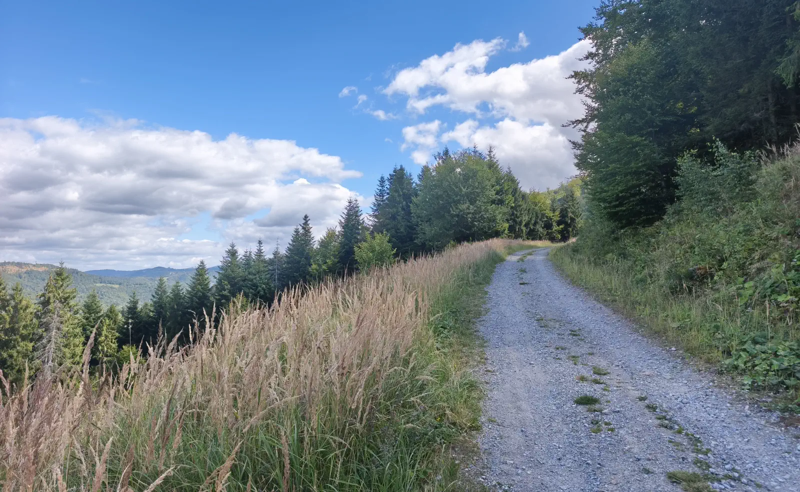
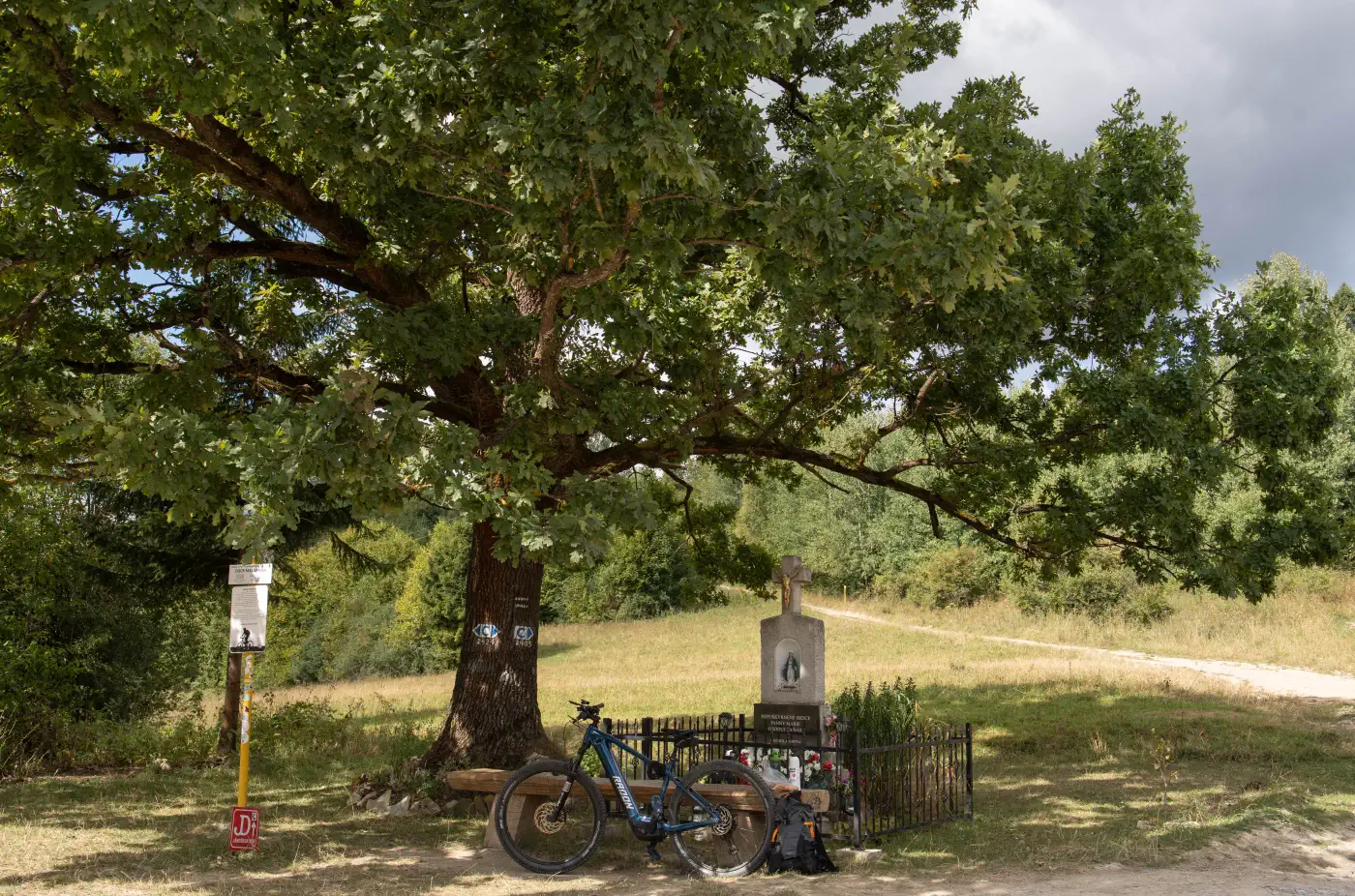
 - From Lutíš (Lutiška part): The most popular route for cyclists along the green cycling trail
 from the Lutiška saddle. The climb is gentle and smooth, leading through forest roads. The ascent time from the Lutiška saddle is approximately 1 hour.
 - Žilina Cycle Superhighway - Terchová ➔ Lutiška Saddle ➔ Mravečník
The route is moderately challenging, suitable for families with older children as well as recreational hikers. In winter, it serves as a destination for snowshoeing or ski touring.
Video preview of the route and surrounding environment
Location map:
-
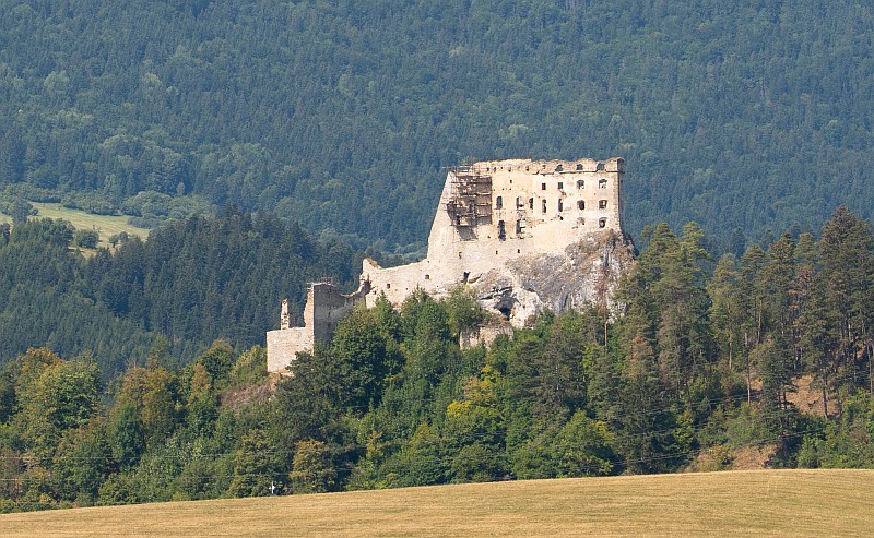
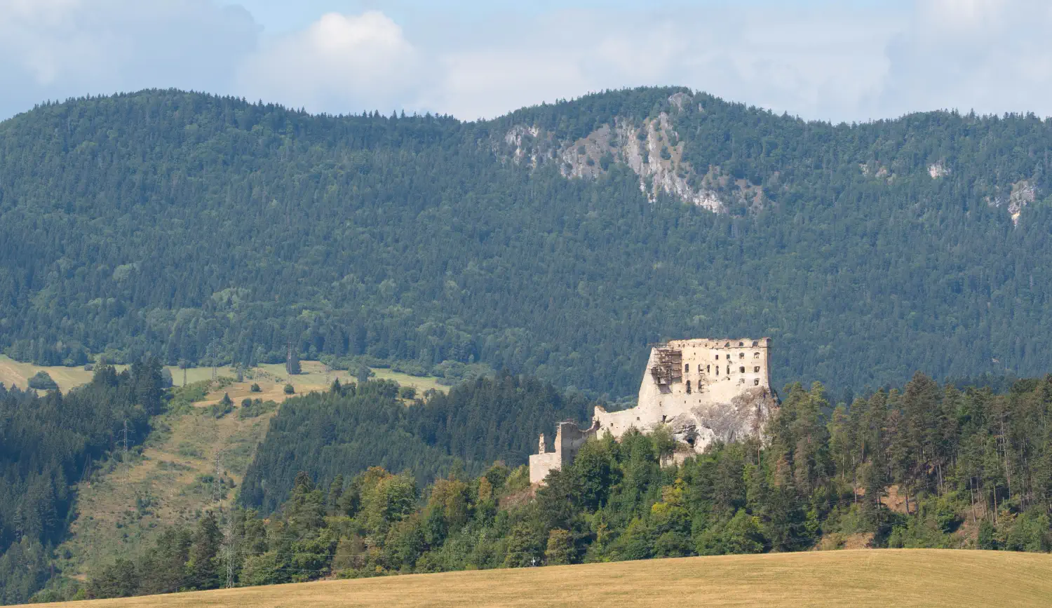
Huinová Tower: Reconstructed entrance tower of the lower castle, in which the Liptov Museum has established a permanent exhibition of the castle's history, period weapons, and archaeological finds.
-
View of Liptov: From the accessible courtyards and viewing terraces, a panoramic view opens up over Ružomberok, the massif of Veľký Choč, and the ridge of the Low Tatras.
-
Easy access: From the village of Likavka, a forest trail with a red mark leads to the castle gate; the ascent takes approximately 20 to 30 minutes at a moderate pace.
Hlavné lákadlá mestečka
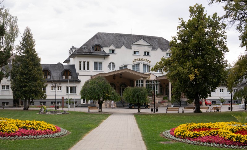
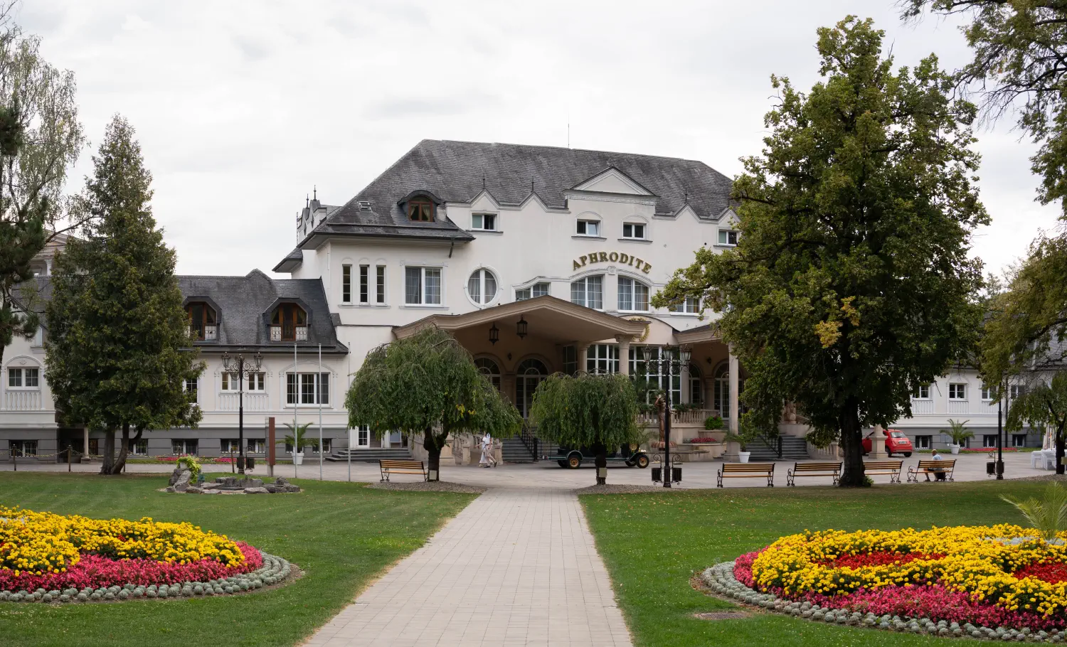
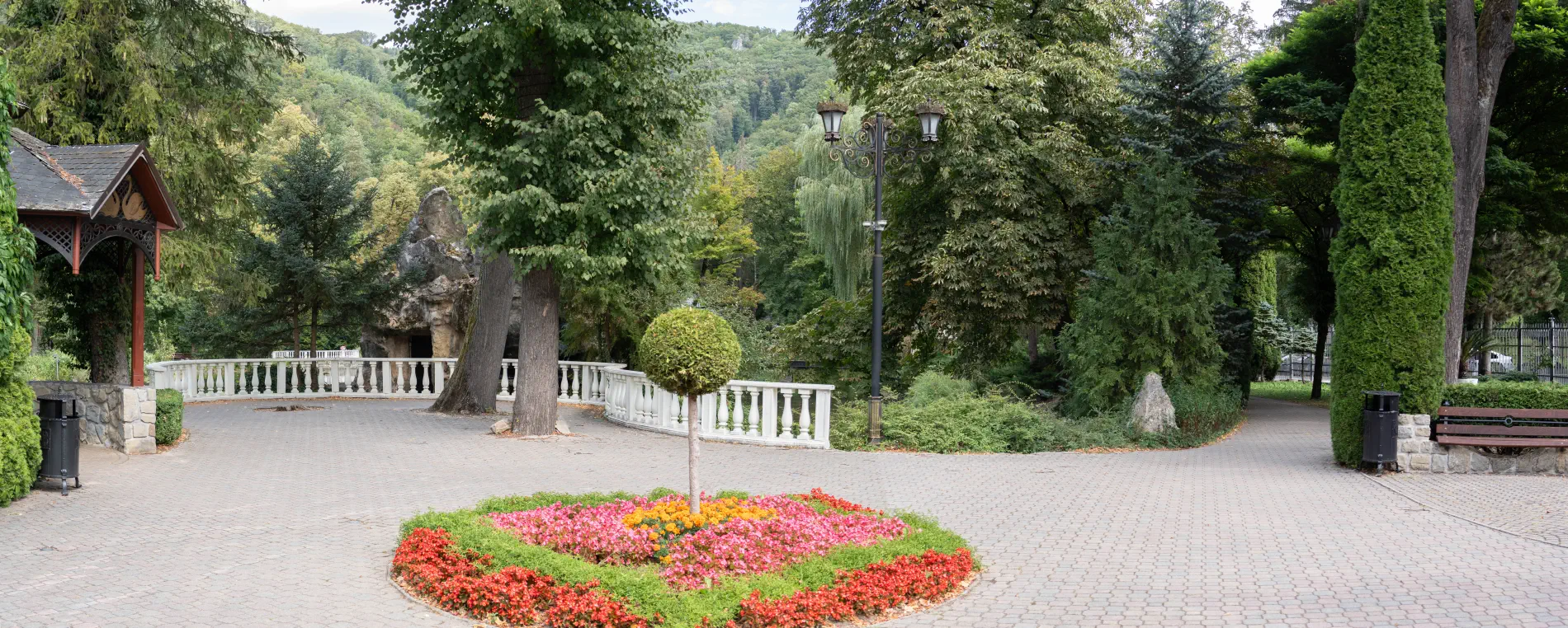
- Spa Park and Swan Lake: The heart of the pedestrian zone is a vast, well-maintained park with fountains and a lake, on whose islet stands the iconic restaurant Rybárska bašta.
- Active relaxation in the surroundings: The town serves as an excellent starting point for hiking trips (Poluvsianska skalná ihla, Lietava Castle, Skalky) or cycling tours.
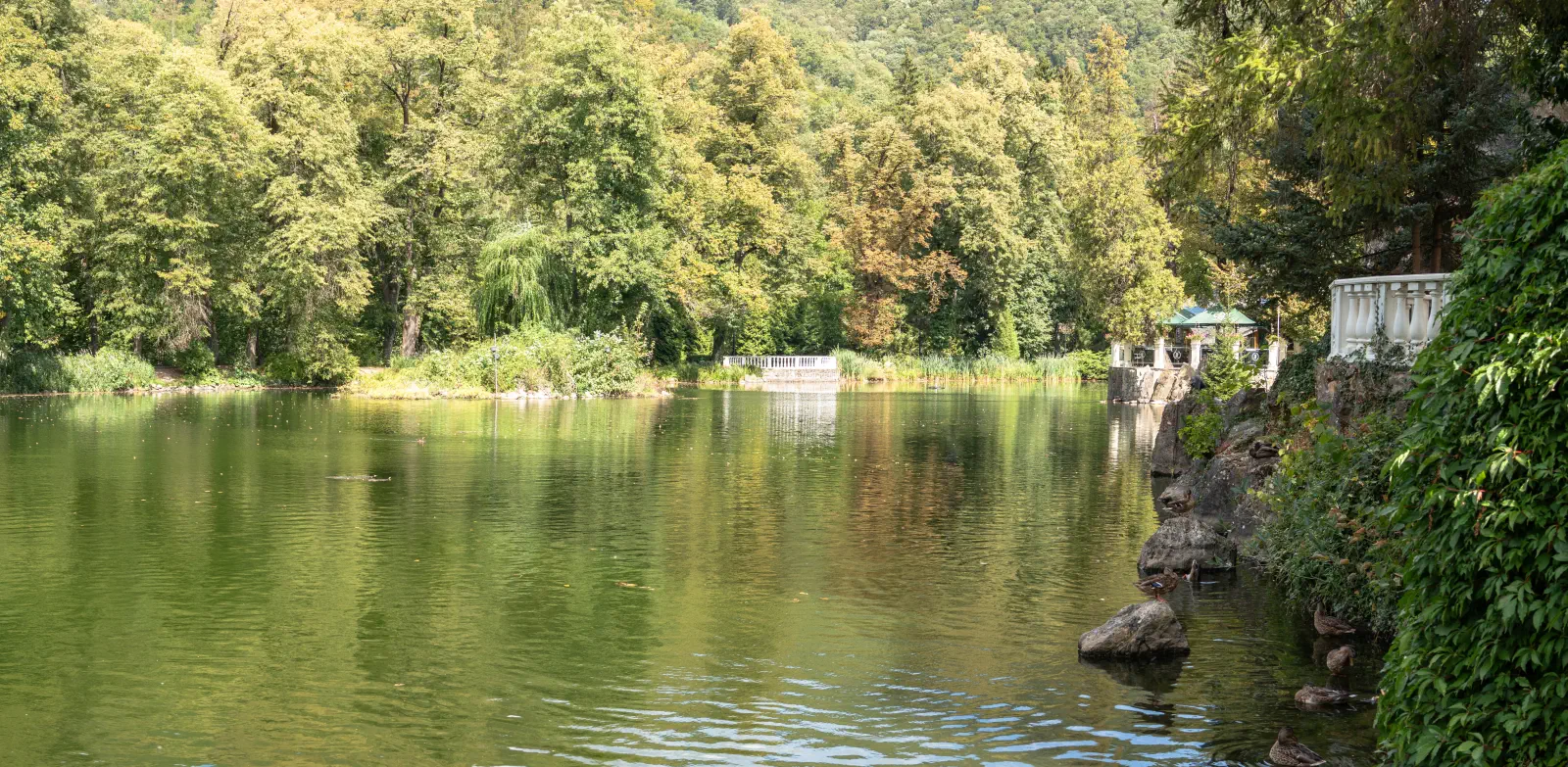
Thanks to its intimate atmosphere, clean climate, and rich offer of relaxation treatments, Rajecké Teplice is an ideal destination for a weekend escape from the hustle and bustle of the city as well as for a full-fledged healing stay.
Location map:
Photo gallery:


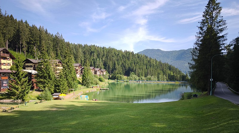
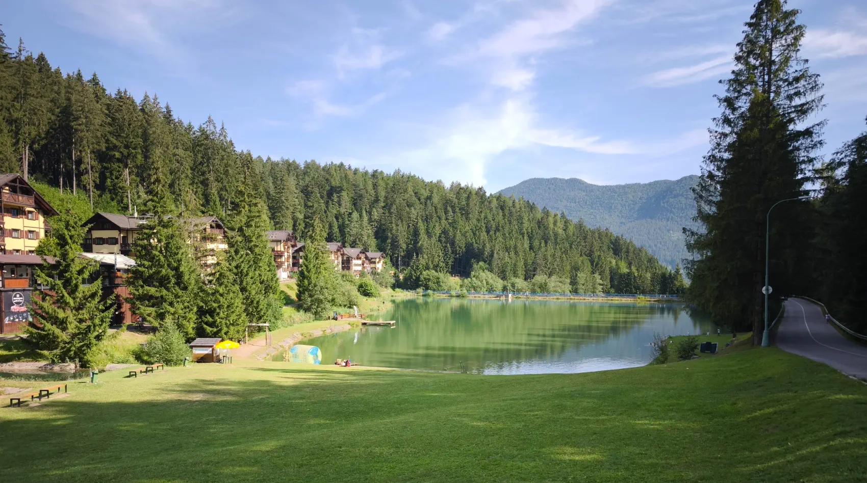
Hrabovská dolina: A year-round paradise for families, tourists, cyclists and skiers
Are you looking for a place in Liptov where you have a crystal-clear lake right under the forest, a cable car to the ski slopes, and top-notch comfort? Hrabovská dolina near Ružomberok is the ideal gateway to the Veľká Fatra mountains – regardless of whether you are planning an active weekend full of sports or a peaceful rest by the water.
What awaits you in Hrabovo?
-
Fast and comfortable access: The valley is just a few minutes by car or public transport from the center of Ružomberok. It offers hassle-free access and free parking right at the cable car boarding point.
-
Accommodation directly on the lake shore: Modern apartment buildings, cozy cottages, guesthouses and wellness hotels – with a view of the water surface and the scent of the forest right after waking up.
-
Hiking and cycling: A great starting point for hikes in the Veľká Fatra (Malinô Brdo peak, Čutkovská dolina valley, Malinô), a network of marked cycling trails and the educational trail Bear Trail.
-
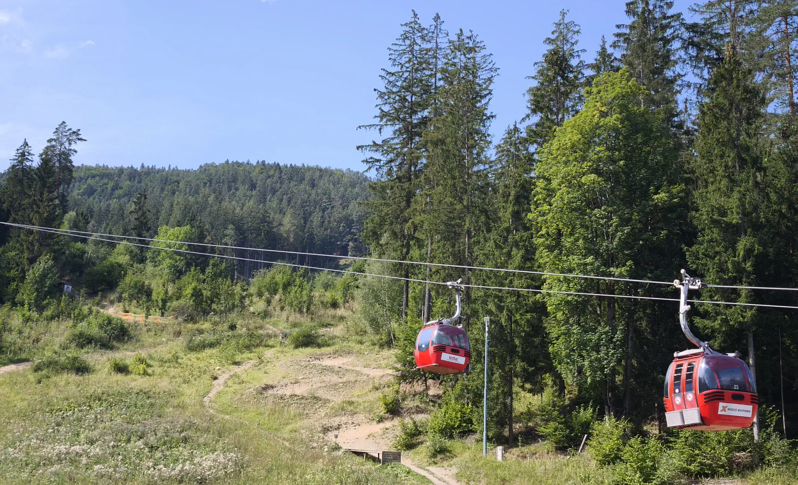
Winter sports and skiing: Directly from the valley, a cable car leads to the resort Malinô Brdo ski & bike park, which offers wide slopes suitable for families with children as well as more demanding skiers.
-
Points of interest and attractions: A water reservoir with boating and paddleboarding, the longest cable track and zip-line over water (Tarzania), family attractions, and proximity to the UNESCO site UNESCO Vlkolínec.
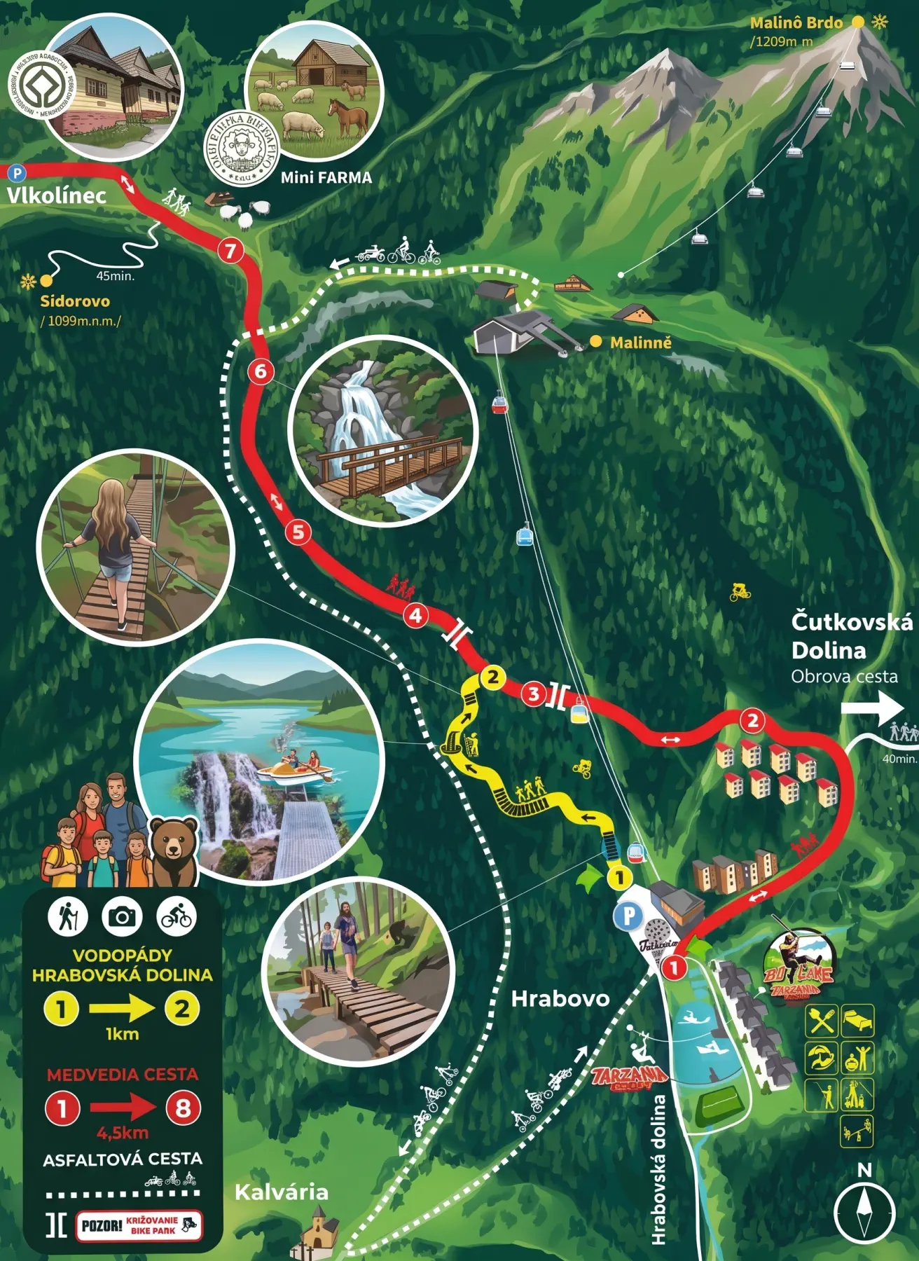
🐻 Discover the Bear Trail and Waterfalls of Hrabovská Valley: An ideal family trip!
Looking for a tip for an easy yet adventurous trip for the whole family? Hrabovská dolina hides surprises that will delight children and adults alike. Discover the secrets of the brown bear and experience a true primeval forest adventure on suspension bridges!
What awaits you in the article (and on the trip)?
-
Experience the Bear Trail: Find out what hides in the 7 educational stops, photo wallpapers, bear bunker, or even the bear "bathroom". The route starts right at the dam and ends below Sidorovo.
-
Hrabovská dolina Waterfalls: Easy hiking with elements of adventure! Both children and adults will love the one-kilometer one-way trail above Suchý potok, full of suspended walkways, swinging bridges, and safe ladders right at the waterfalls.
-
Fun for everyone: The trails require no special equipment or fitness.
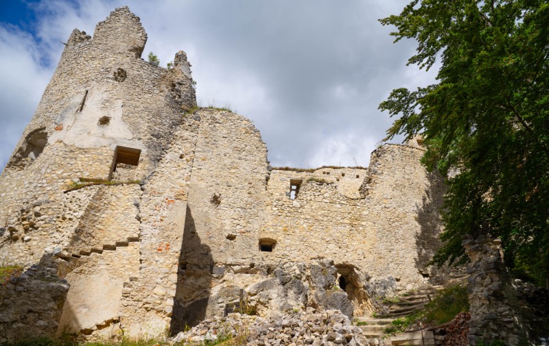
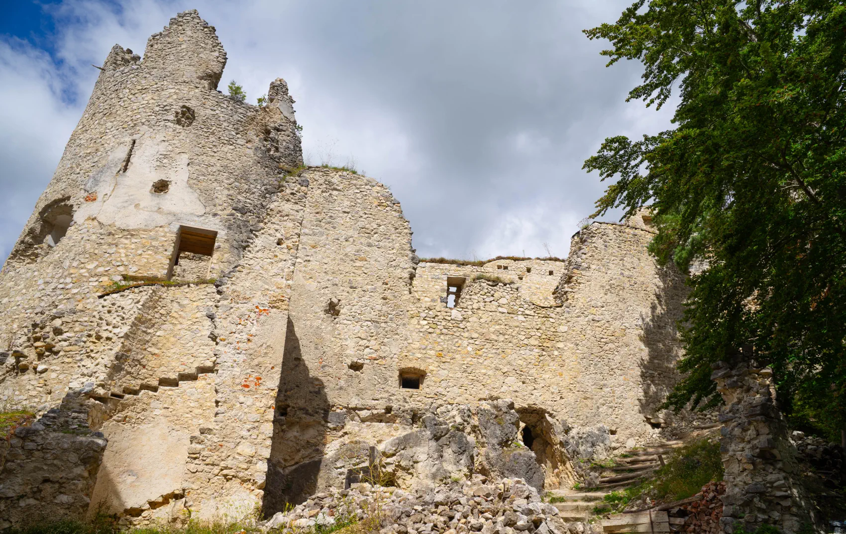
While other castles were conquered by armies, Blatnica Castle was "buried" by the comfort of its owners. The powerful Révay family owned this castle the longest (from 1540 until the 20th century). However, at the end of the 17th and the beginning of the 18th century, the nobility realized that freezing in a cold stone castle on a steep hill was no longer in fashion. The Révays built modern, warm manor houses for themselves down in the village of Blatnica. They gradually took away everything valuable from the castle, and in 1790 it was already officially mentioned only as an uninhabited ruin.
Even though the castle was already abandoned, its surroundings left an indelible mark on our culture. In 1921, the Siakeľ brothers chose the wild rock formations and deep forests of the Gaderská dolina valley directly below the castle as the main exteriors for filming the first Slovak full-length silent film Jánošík. The castle's surroundings thus served as the perfect film backdrop for the life of outlaws.
Currently, its rescue is being pursued by the civic association Diadém – Association for the Rescue of Blatnica Castle. It is a group of enthusiasts and volunteers who have decided not to leave this precious monument to its fate.
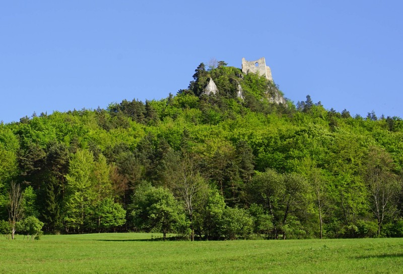
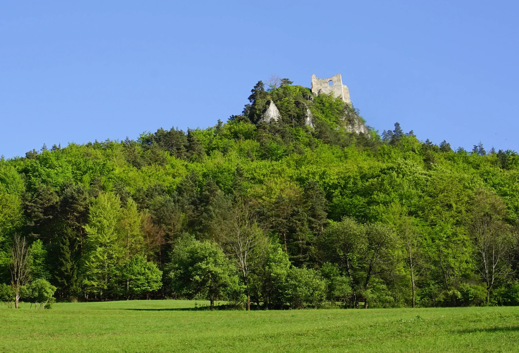
Od kráľov cez lúpežných rytierov až po úpadok
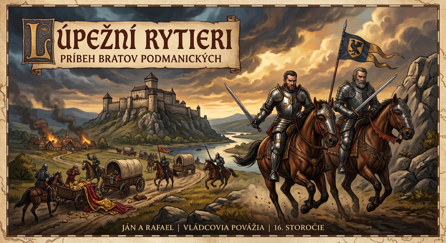
The history of Hričov Castle is full of twists and turns. Its beginnings date back to the 13th century (the period between 1254 and 1265), when it was built by magister Toluš. Over the centuries, many significant owners succeeded one another at the castle. The castle belonged for example to the famous Matúš Čák of Trenčín and later also to the well-known Podmanický brothers, who went down in history rather as robber knights.
The Golden Age of the Robbers
-
Period of chaos: The brothers operated in the first half of the 16th century (after the Battle of Mohács in 1526). Hungary was then divided by a civil war over the throne between Ferdinand I of Habsburg and John Zápolya.
-
Profit-seeking tactics: John and Rafael ruthlessly exploited this confusing situation. They constantly changed sides and always sided with the monarch from whose support (or weakness) they could extract the most property at the time.
What were their crimes?
-
Forcible seizure of property: Their main and strategic seat was Považský Castle (at that time often called Bystrický Castle). However, through violence and military force, they gradually also seized the castles of Hričov, Bytča, Lednica, and estates in Moravia.
-
Terrorizing the region: Instead of knightly virtues, they engaged in plundering surrounding estates, burning villages, and attacking merchant caravans, from which they extorted illegal tolls.
-
Attacks on towns: Their military expeditions, sieges, and looting had to be directly faced by the wealthier towns in the area, including Žilina, Ilava, and Trenčín.
An End Without Just Punishment
-
Without consequences: Although the king sent military units against them several times, they were never punished for their actions. When his older brother John died in 1545, Raphael realized that the monarch's power was strengthening, and tactically laid down his arms.
-
From robber to dignitary: Raphael swore allegiance to the monarch and received full royal pardon (amnesty). He thus surprisingly lived out his days in peace as a respected county head, nobleman, and royal councilor. He died in 1558.
-
Extinction of the family: Since Rafael left no legitimate male heir, the feared Podmanický family definitively died out with his death in the male line, and the stolen properties reverted to the royal crown.
At the end of the 16th century, the castle passed into the hands of František Thurzó. However, that was the beginning of its end as a noble residence. The Thurzós chose a more comfortable and modern manor house in nearby Bytča as their main seat. Hričov Castle began to serve only as a prison or storage place, and from the second half of the 17th century it was left to its fate and gradually turned into a ruin.
Volunteers are saving the castle
For many years the castle fell into disrepair, but that changed in 2010. At that time, the Association of Friends of Hričov Castle was founded, whose members and volunteers devote their free time to saving this monument.
Under the supervision of monument conservators, they remove invasive vegetation, stabilize crumbling walls, and carry out archaeological research. Their main goal is to preserve the current state of the castle so that it is safe for visitors and retains its authentic historical atmosphere.
Start navigation to Hričov Castle
Why visit Hričov?
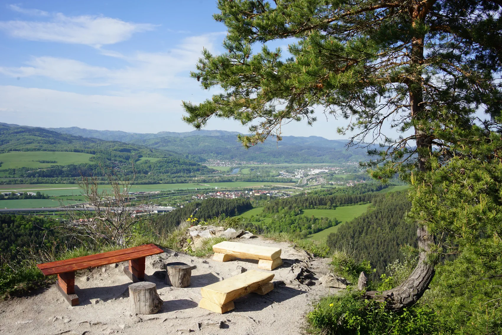
The path to the castle is not just about climbing uphill. In 2013, volunteers built a splendid nature trail. It consists of 20 beautiful, wood-carved panels that guide you through the castle's history, as well as local fauna and flora. Along the way, you can rest in two wooden gazebos.
Hričov Castle is an ideal place for a family trip, a romantic walk, or an escape from the city into the silence of medieval walls and surrounding nature.
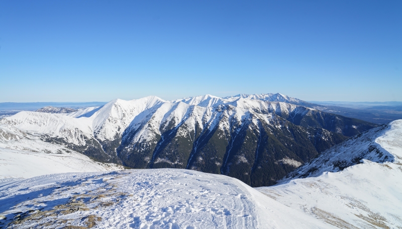
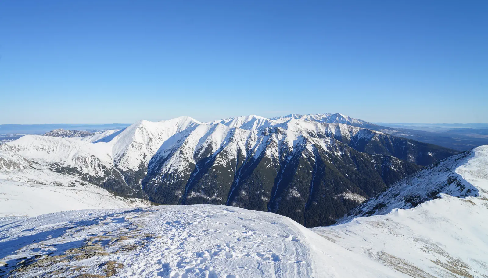
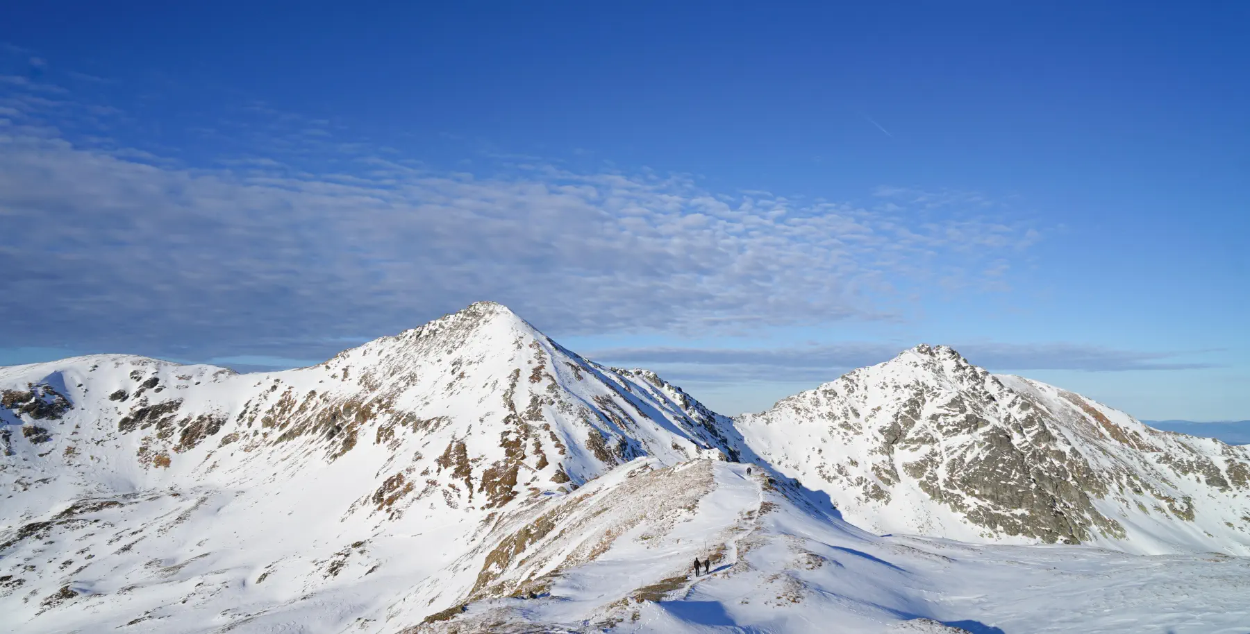
Baranec (2,185 m above sea level) ranks among the most dominant and most popular peaks of the entire Western Tatras. It rises directly above the Liptov Basin as a mighty guardian and offers a panorama where the raw beauty of the Roháče meets the sharp silhouette of the High Tatras, led by Kriváň.
Interesting facts about Baranec:
-
Exception to the winter closure: Unlike most high-altitude trails in the Tatras, the route from Žiarska dolina (or from the mouth via Holý vrch) is usually accessible even in winter, making Baranec a top destination for winter hiking and ski touring.
-
Third highest in the "Western Tatras": With an elevation of 2,185 m above sea level, it is the third highest peak of the Western Tatras, after Bystrá and Jakubina.
-
A proper dose of elevation gain: Since you don't start from high mountain saddles, but directly from the mouth of the valley (approx. 890 m above sea level), you must overcome almost 1,300 meters of elevation gain of pure climbing without flatter rest sections.
-
Natural amphitheater: From the summit, there is a unique view deep into the Jamnícka and Žiarska valleys, as well as onto the exposed ridge of Otrhance directly opposite.
Location map:
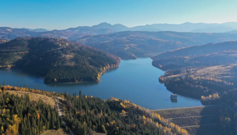
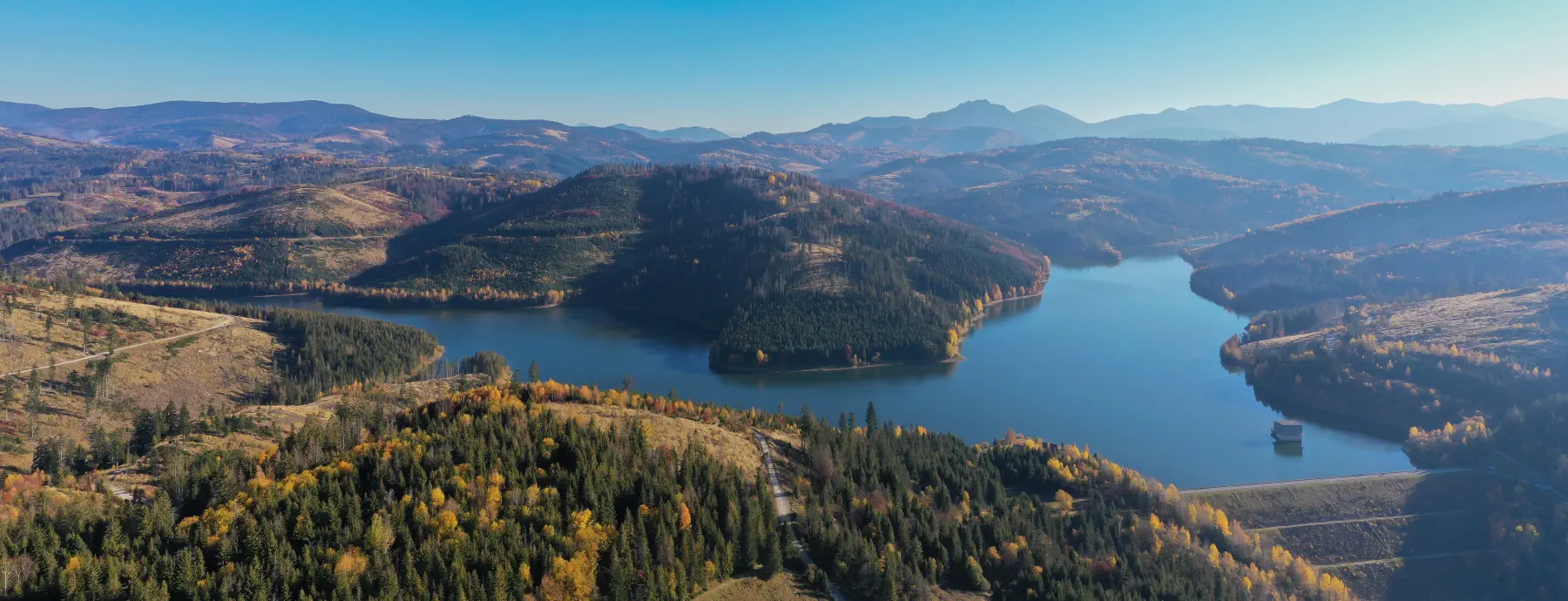
The Nová Bystrica water reservoir is among the most photogenic and at the same time the quietest corners of the Kysucká Highlands. Unlike other Slovak dams, you won't find crowded beaches or motorboats here – it is a strictly protected drinking water reservoir that offers peaceful nature, dramatic history, and excellent cycling facilities.
Interesting facts and history
-
Flooded villages of Riečnica and Harvelka: The construction took place between 1983 and 1989. Two distinctive Kysuce villages and dozens of surrounding hamlets and settlements fell victim to it. Nearly 3,000 residents had to be relocated from their homes.
-
The solitary church in Riečnica: Of the original buildings, only one structure remains – the brick Church of the Nativity of the Virgin Mary from the late 19th century. It stands on an elevated bank above the water level and serves as a memorial site for the original locals.
-
Second largest water reservoir: After the eastern Slovakian Starina, Nová Bystrica, with a volume of almost 33 million m³, is the second largest drinking water reservoir in Slovakia. It supplies the districts of Čadca and Žilina.
-
Two-armed fjord shape: From above, the dam resembles a mountain fjord. The Kýčery massif divides the water surface into two long arms that follow the original riverbeds of the Bystrica River and the Riečnica stream.
-
View of Veľký Rozsutec: From several sections of the shore and the dam, there is a direct view of the rocky silhouette of Veľký Rozsutec in Malá Fatra.
Important notice: As this is a hygienic protection zone of the 1st and 2nd degree, bathing, water sports, boating, camping and sport fishing are strictly prohibited in the entire reservoir.
Availability
-
By car: From road II/520 (link between Krásno nad Kysucou and Oravská Lesná). Parking areas are located at the turnoff to the dam wall in Nová Bystrica or at the Granátovci locality.
-
By bus: Regular lines run from Žilina and Čadca towards Nová Bystrica and Vychylovka.
-
By bike: The dam is directly connected to the Bystrická cycle route.
Activities and trip tips in the area
-
Cycling loop around the reservoir (Cycle route no. 2434):
The looped route measures approximately 28 – 30 km with a paved asphalt and gravel surface. It leads around the entire water area through the abandoned Riečnica and Harvelka. The profile is slightly undulating, ideal for trekking bikes, mountain bikes, and e-bikes.
-
Museum of the Kysuce Village in Vychylovka (Open-air museum):
Just a few kilometers from the dam, you will find a unique open-air museum of folk architecture, where original log houses transferred from the flooded villages of Riečnica and Harvelka also stand.
-
Historic forest switchback railway:
Part of the Vychylovka open-air museum with a functional switchback system, which ranks among technical monuments of world significance.
-
Slovak astronomical clock in Stará Bystrica:
In the neighboring village stands the only astronomical clock in Slovakia with wooden sculptures and a noon procession of apostles.
-
Hiking to surrounding peaks:
Marked trails lead to viewpoints in the Kysucká Highlands (e.g., Kýčera, Okrúhlica, or Vojenné) or further to the ridge of Malá Fatra.
A paradise for anglers and birdwatchers
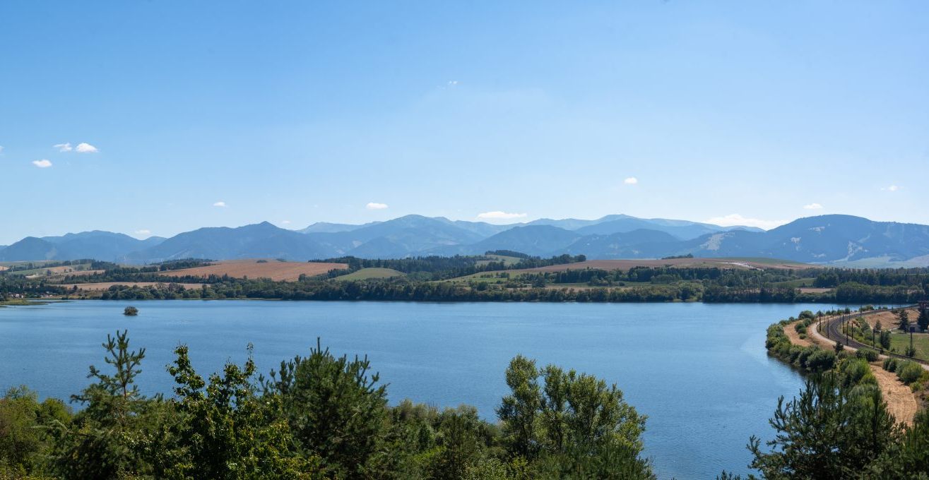
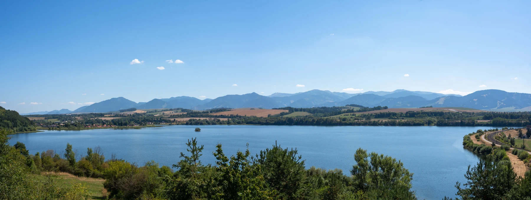
While the nearby Liptovská Mara attracts swimmers and yachtsmen, Bešeňová is a quieter oasis with its own rules.
- Fishing unique: The reservoir is declared a fishing ground with a "catch and release" regime (on trout water). It is literally a paradise for sport fishermen who come here for catches of trout and grayling.
- Bird reserve: The peaceful shores of the reservoir provide an ideal refuge for waterfowl. If you are a fan of birdwatching, don't forget to pack binoculars. Especially during spring and autumn migrations, you can observe rare species here.
What fish are caught here?
Since salmonid fish were not artificially stocked in large numbers in the reservoir in the past, the original population came from the tributaries (e.g., Ľupčianka). Thanks to the abundant food and the catch and release regime, the fish thrive fantastically here.
The main catches include:
- Brown trout and lake trout (its lacustrine form): These fish commonly reach an average length of about 50 cm here, but real trophy specimens exceeding 70 or even 80 cm are also caught.
- Rainbow trout: A favorite catch of fly fishermen, it is a very fighting fish and occurs here in beautiful sizes.
- Common carp: Although Bešeňová is a trout fishery, at full water level in the bays (e.g., sections above flooded old roads) carp also stay, which anglers like to catch for fun, especially during summer lunches.
- Grayling: It occurs mainly around the mouths of tributaries and in the more current parts towards Liptovská Mara.
Fishing at Bešeňová is referred to as a "university", as larger, older fish are already extremely cautious and experienced (it is said that they "know all artificial flies by name").

What you need for fishing (Documents)
To legally fish at VVN Bešeňová, you must have the following documents with you during fishing:
-
State fishing license: It is mandatory for everyone (including foreigners or non-members). You can obtain it at any municipal or city office (environmental department, or registry office). It is sold with validity for a week, a month, 1 year, or 3 years (a 3-year one costs around €16.50).
-
SRZ membership card: If you are a member of the Slovak Fishing Union. (If you are not a member, you can also fish, but daily guest permits are significantly more expensive for non-members – approx. €20 to €35 compared to member prices).
-
Fishing permit for VVN Bešeňová: Either a simple guest permit, or a season-long permit for this specific fishing ground.
-
Record of attendance at the water and catches: Today it is already part of the standard permit. Before starting to fish, you are obliged to enter the date and the number of the fishing ground into it.
How and where to arrange a fishing permit (Povolenku)
Since the fishing ground is managed by the Council of SRZ, you can purchase the permit in several ways:
A) Purchase via SMS (Only for SRZ members)
Since April 2024, the SRZ Council has launched a fast and convenient purchase of one-day guest permits via SMS. It is valid on the day of fishing.
-
Procedure: Send an SMS to the number 8877.
-
SMS format:
SRZ 360404 DDMMRRRR(For example, if you were born on May 15, 1988, you send:SRZ 360404 15051988). The number 360404 is the 6-digit code for the Bešeňová fishing ground. -
Confirmation: You will receive an SMS with a 6-digit code, which you will physically write with a pen into your "Record of attendance at water and catches" (in the place where a paper stamp is otherwise stuck). The permit becomes valid 30 minutes after the SMS is delivered. The fee (approx. €13.50) will be deducted from your credit or added to your flat rate.
B) Physical purchase (For members and non-members / foreigners)
If you prefer a classic paper guest permit, or if you are not a member of SRZ, you can purchase the permit in person:
-
From the fishery manager of the territory: (Mr. Roman Gemzický), who often sells permits directly in the field (e.g., on the dam or by the bridge between Vlachy and Vlašky during the opening of the season) or by telephone agreement.
-
At fishing supply stores in the area: Liptovský Mikuláš (e.g., STARFISH, ESOX, RIVERLAND stores), which cooperate with the SRZ Council on the sale of permits.
C) Season-long permit
If you plan to visit Bešeňová more often, a season-long permit is worth it (the price for an adult SRZ member is around 60 - 70 €). You can purchase it in person from SRZ Council sellers, or nearby municipal organizations (e.g., MO SRZ Liptovský Hrádok) usually offer it in their e-shop or office for their members.
Important fishing rules at VVN Bešeňová
Since this is a specific trout fishery with a CHAP regime, don't forget the mandatory equipment and restrictions, otherwise you risk having your permit revoked by the fishery guard:
-
Trout season: Fishing is allowed only during the trout season (from April 16 to the end of the trout waters season).
-
Hooks and handling: In the "catch and release" regime, all caught fish must be gently returned to the water. It is necessary to use barbless hooks (or with the barb pinched down). Don't forget a landing net with a fine mesh and pliers for gentle hook removal.
-
Fishing from the bank: Fishing from boats, belly boats, and other vessels is strictly prohibited. You may fish exclusively from the bank or by wading.
-
Prohibited zone: Within a distance of 100 meters from the dam body (dam wall) of the upper Liptovská Mara reservoir, a year-round fishing ban applies (the section is usually marked with signs).
-
Parking: Be very careful with your cars. There is a strict ban on entry of motor vehicles onto all dam fortifications and into the flood zones of the reservoir. Park only in designated or paved areas in the villages (e.g., Bešeňová, Vlachy).