
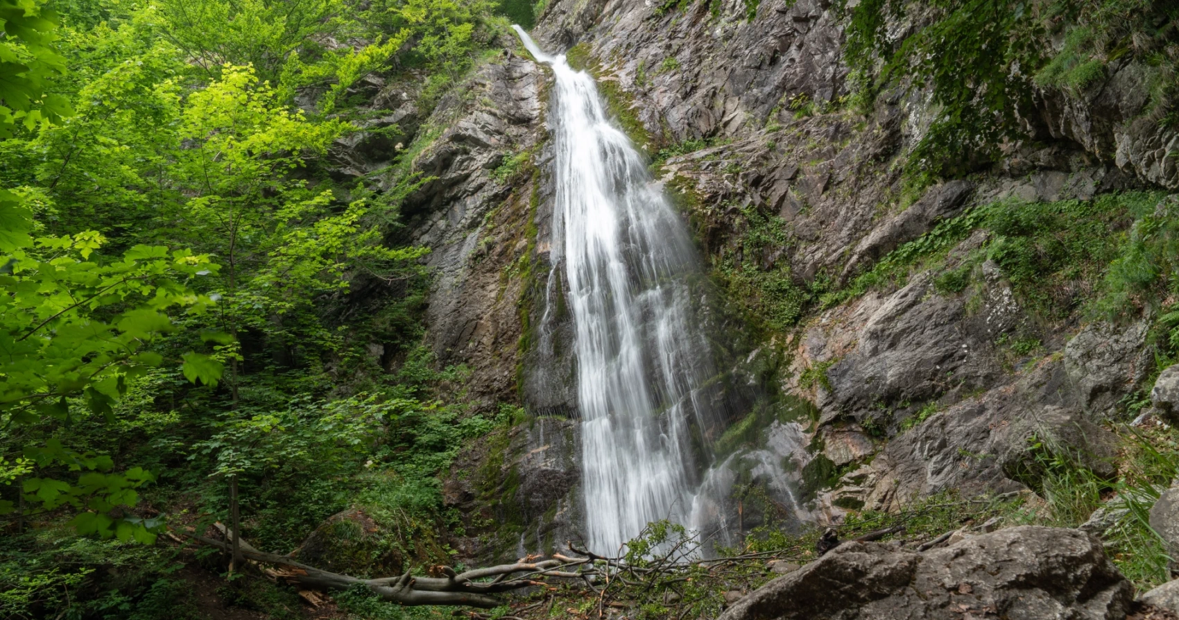
The route to Šútovské vodopád passes through the Šútovská valley, which is one of the most beautiful and best-preserved valleys in the Kriván part of Malá Fatra. The natural conditions of this area are extremely diverse, as it is a deeply cut valley with significant elevation differences and a specific limestone bedrock.
Check dams as flood protection
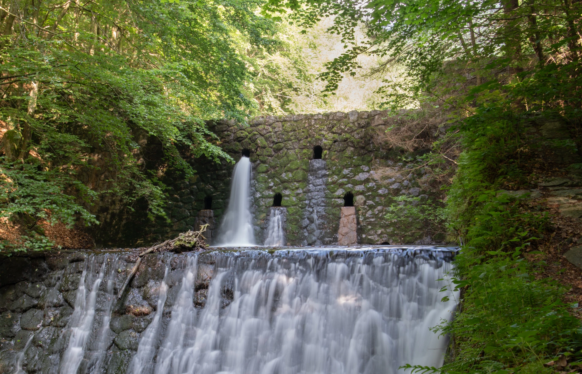
The Šútovo stream has a strong gradient and flow. During spring snowmelt or after summer storms, it becomes an untamed force. In steep valleys, dams serve these functions:
- Debris retention: Strategic openings catch stones and wood, while water flows over the top.
- Slowing the flow: Breaking the current into cascades reduces the kinetic energy of the water.
- Erosion prevention: They stabilize the stream bed and banks.
Controversial function from an ecological perspective
From an ecological perspective, full dams disrupt the continuity of the watercourse and prevent fish migration. Modern solutions include fish ladders (bypass channels) or boulder ramps that allow fish to overcome the barrier. Old, silted-up dams that have lost their flood protection purpose are now often mapped and gradually removed as part of ecological trends.
Water retention in the landscape
The best flood protection is to slow down water runoff already in the upper part of the basin:
- Protection of wetlands and peat bogs.
- Leaving dead wood in the headwaters.
- Sustainable forestry (avoiding large clear-cuts).
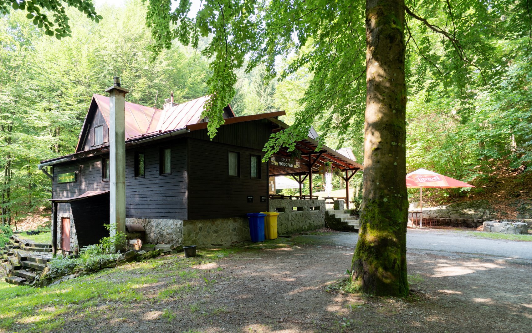
Chata Vodopád
An ideal place to relax in nature without signal and electricity (runs on a generator). The cottage lies a third of the way to the waterfall and offers accommodation for 13 people.
More info: www.chatavodopad.sk
Flora and fauna
- Flora: From beech forests to spruce forests. High humidity and limestone bedrock suit mosses, ferns, and lime-loving flora.
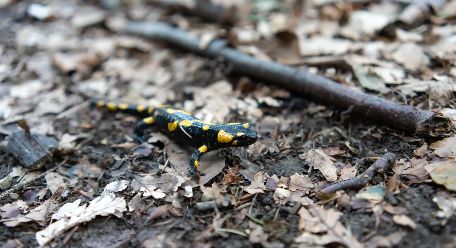
- Fauna: Home to the bear, lynx, and wolf. The rocky cliffs are inhabited by the peregrine falcon and the golden eagle. By the stream, you may spot a dipper or a fire salamander.
Video preview of the environment:
Route to Chata pod Chlebom
After the blue trail marker 🔵 and the ascent to Mojžišove pramene (approx. 1,140 m above sea level), the route continues with a steep climb to the ridge towards Chata pod Chlebom. It is a demanding hike (approx. 2.5–3 hours from the waterfall), requiring good fitness and sturdy footwear.
Access and transport:
- By car: Parking in the Šútovo-Rieka area (near the Fatranka chalet).
- By train: Železničná stanica Šútovo-Ratkovo. Pozor, presun k začiatku doliny popri rušnej ceste je nebezčný!
Hiking tip: It is ideal to combine a visit to the waterfall with a walk to the nearby Šútovské Lake


There are no comments yet. Be the first!