
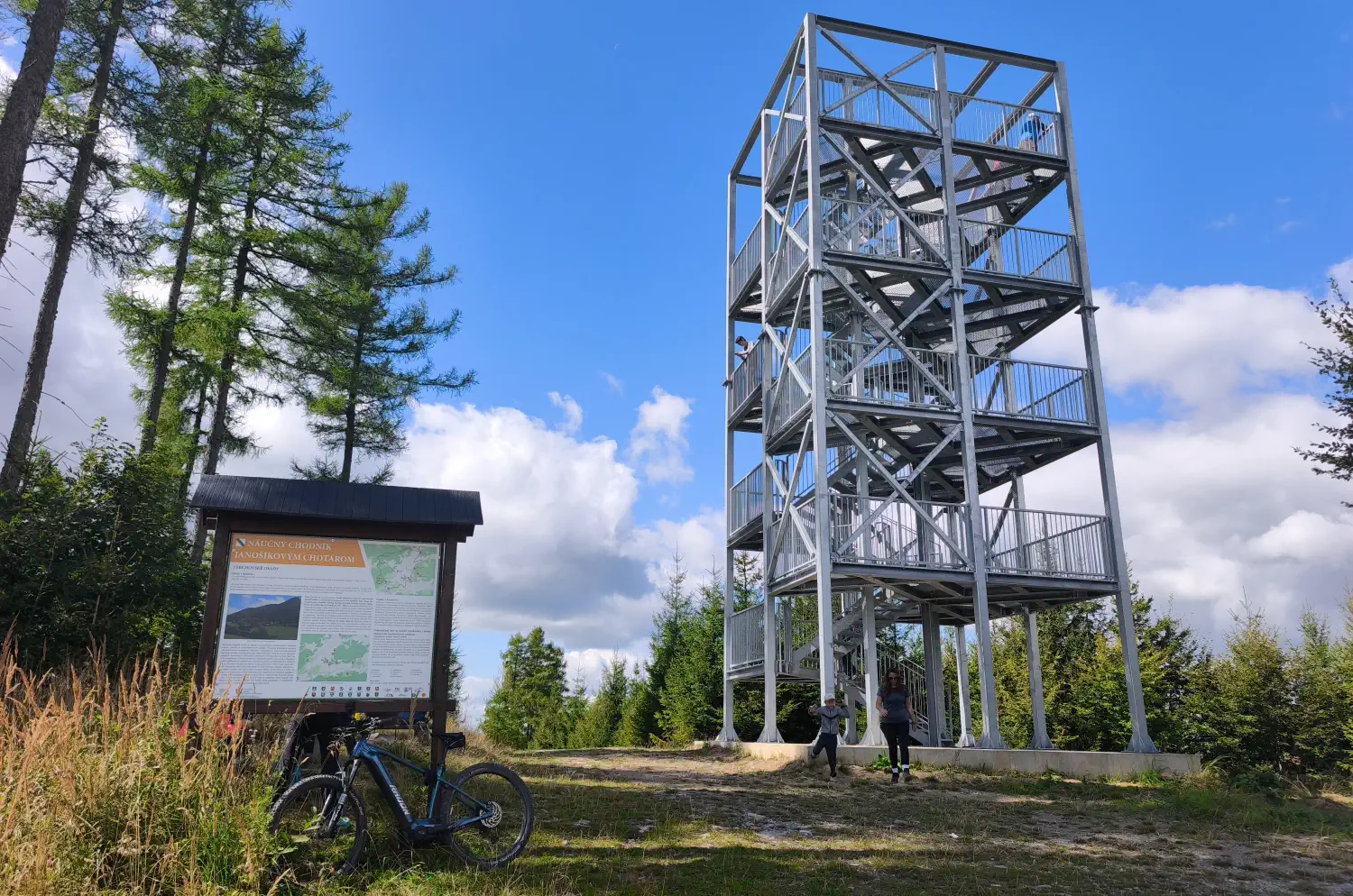
The lookout tower on Mravečník hill (992 m above sea level) is among the youngest and most beautiful viewpoints in the Kysucká Highlands. It rises directly above the well-known village of Terchová and offers a panorama of Malá Fatra without the crowds that you usually encounter in Jánošík's Gaps.
Basic information:
- Location: Kysucká Highlands, Mravečník peak above Terchová (Žilina District)
- Altitude: Peak 992 m above sea level, the observation tower itself stands just below the summit at an altitude of approximately 990 m above sea level.
- Construction: Five-story tower on concrete foundations with an observation platform
- Height: Approximately 18 meters
- Accessibility: Open year-round and freely accessible
Points of interest and views:
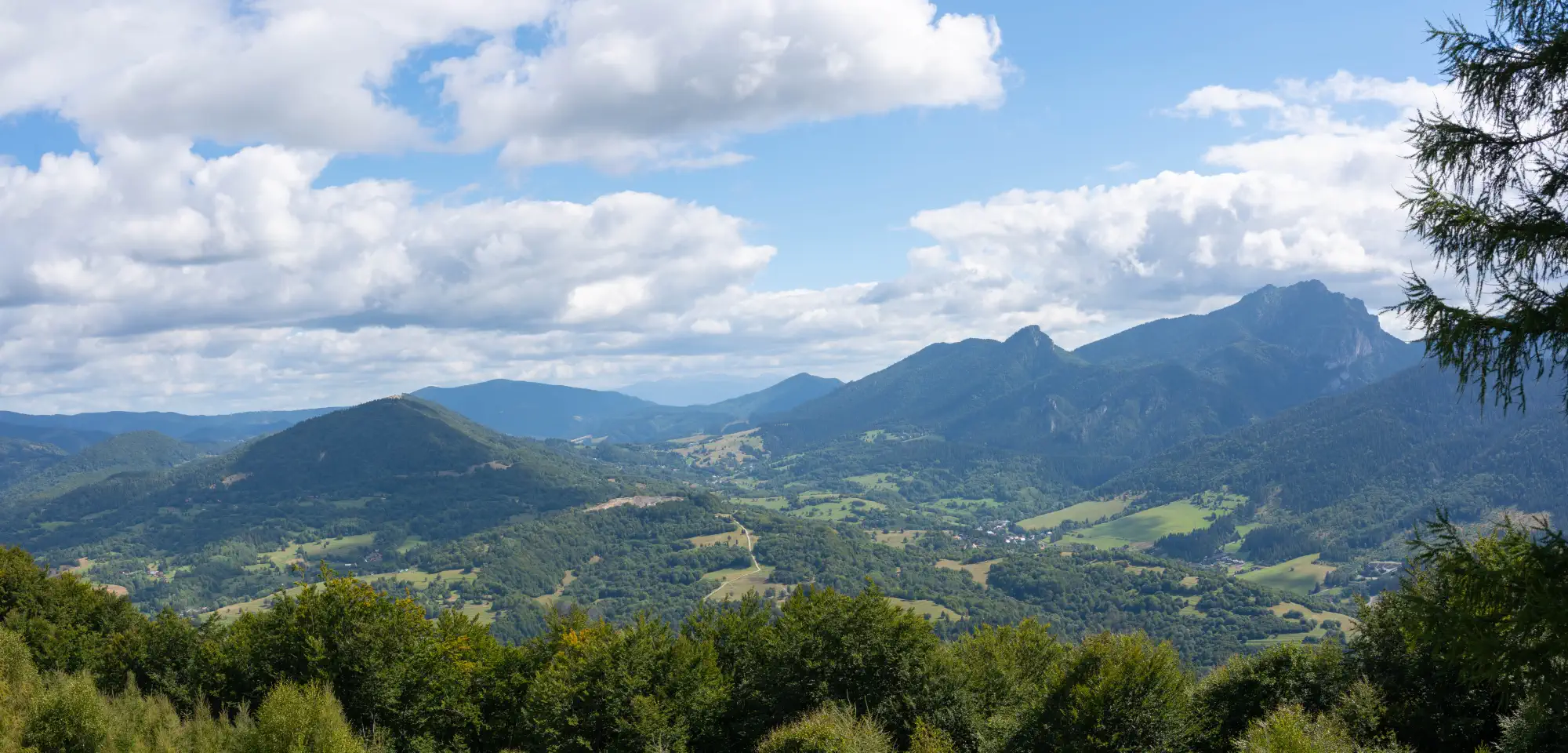
The main attraction is the 360-degree circular view. From the top floor, you can see Veľký and Malý Rozsutec. In favorable weather, you can see the Kysucká Highlands, Oravská Magura, Chočské Hills, Babia hora, and the silhouette of the Western Tatras.
Directly below the lookout tower, there is a seating area with a table and benches, ideal for resting or having a snack before the descent.
Access routes:
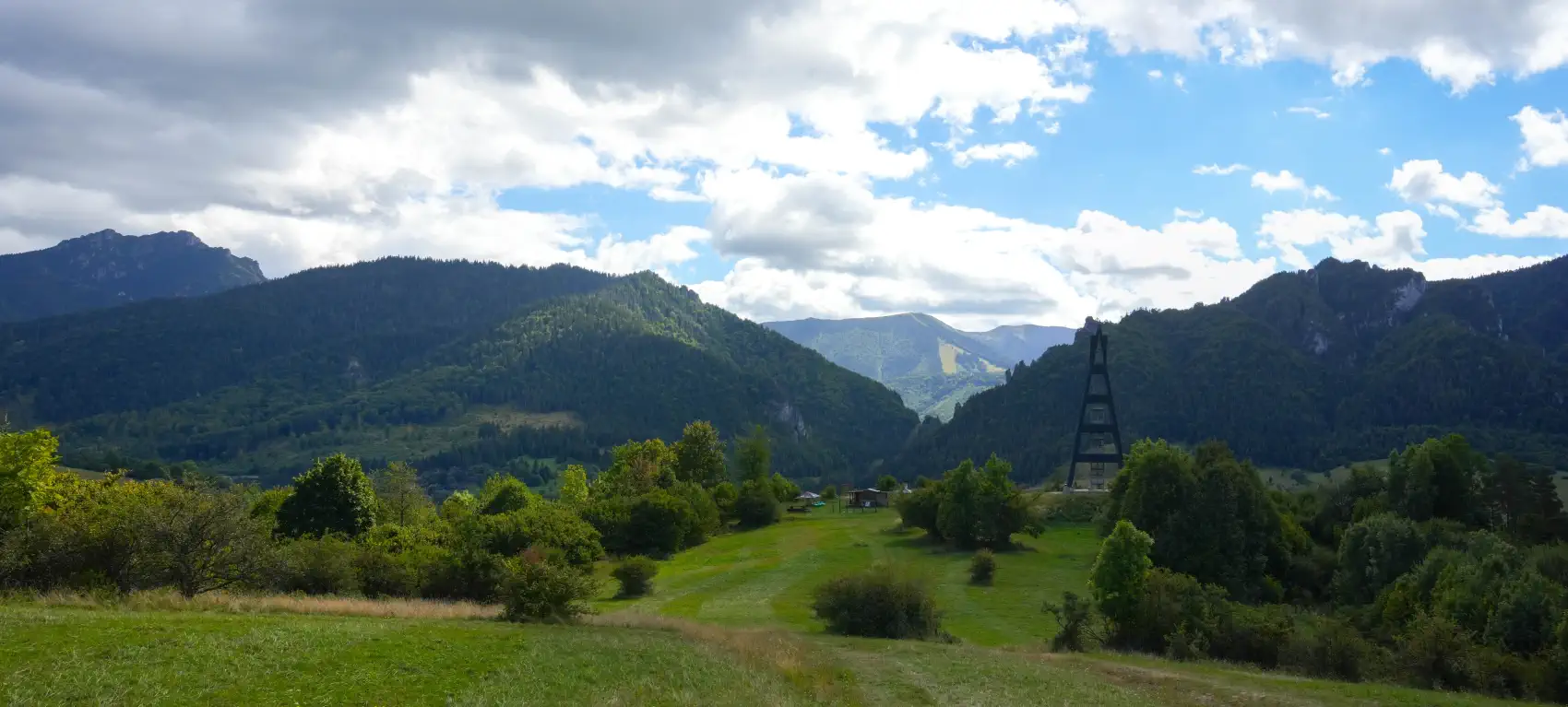
- From Terchová: A shorter, but steeper alternative leads from Terchová directly from the viewpoint Terchovské srdce along the blue trail 🔵, suitable especially for hikers. The ascent from there takes approximately 45 to 60 minutes. If we go by bike, this route, which is also a yellow cycling trail
 can be used for the return to Terchová. However, it is technically demanding and suitable only for experienced cyclists. The direction from Terchová has a steep climb, and for a significant part of the route we would have to push the bike.
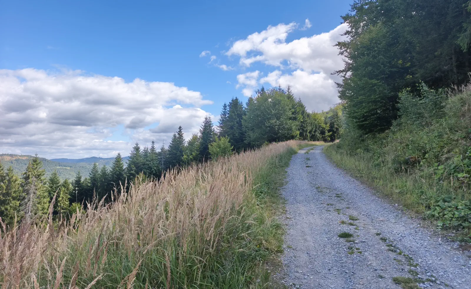
 - From Lutíš (Lutiška part): The most popular route for cyclists along the green cycling trail
 from the Lutiška saddle. The climb is gentle and smooth, leading through forest roads. The ascent time from the Lutiška saddle is approximately 1 hour.
 - Žilina Cycle Superhighway - Terchová ➔ Lutiška Saddle ➔ Mravečník
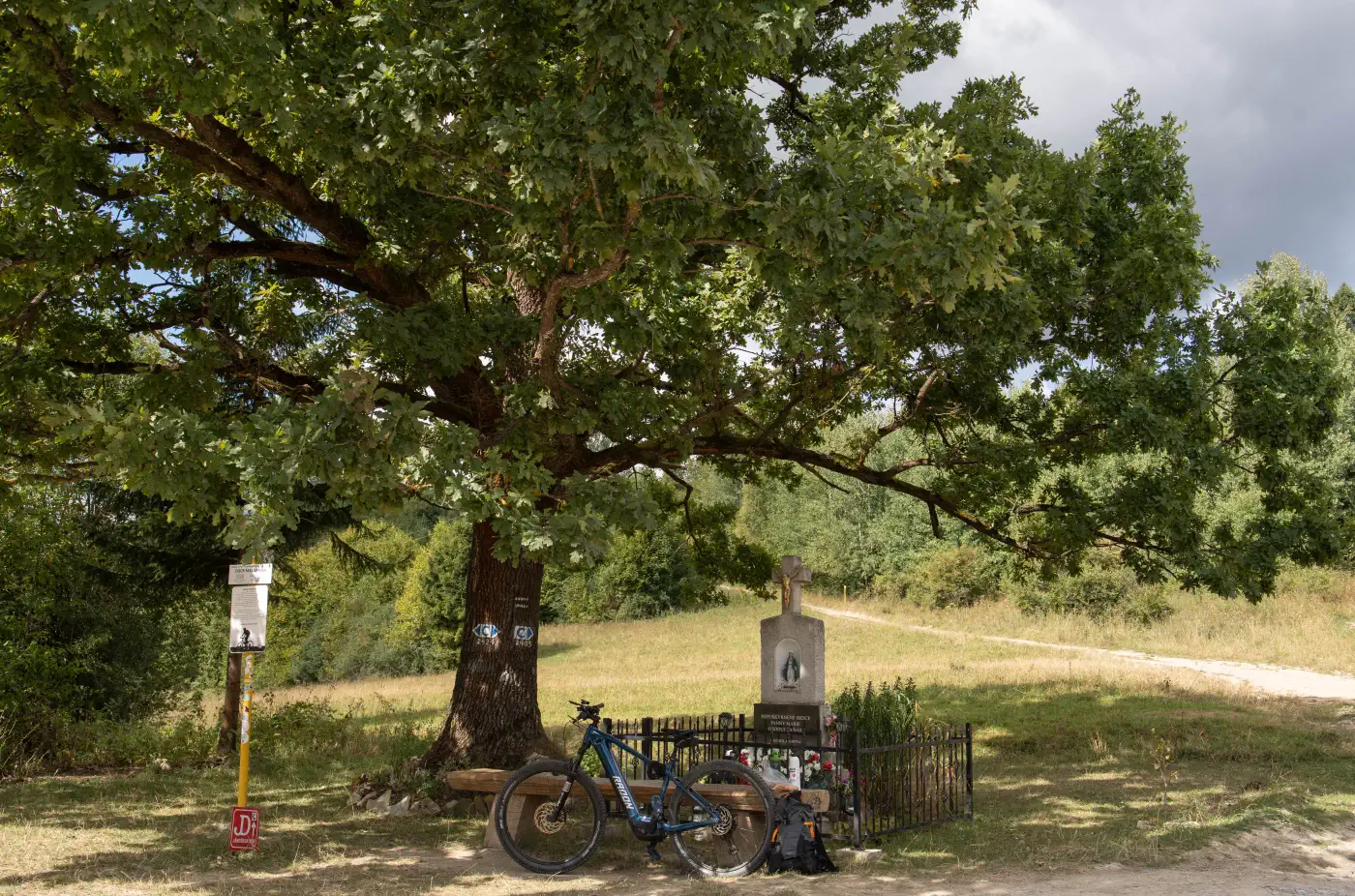
The route is moderately challenging, suitable for families with older children as well as recreational hikers. In winter, it serves as a destination for snowshoeing or ski touring.
Video preview of the route and surrounding environment
Location map:
There are no comments yet. Be the first!