
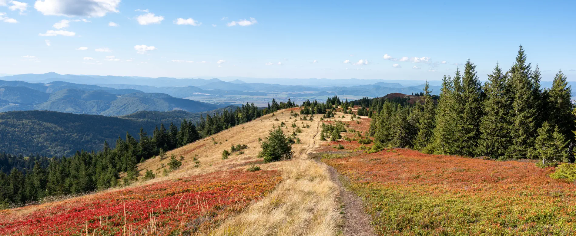
Martinské hole, which locals call nothing other than “Martinky”, are among the most popular tourist and ski destinations in the Lúčanská Malá Fatra. They rise directly above the town of Martin and offer a perfect escape into nature throughout the year. Whether you are looking for adrenaline, a family walk with panoramic views, or a perfect ski run, this corner of Turiec will not disappoint.
Summer in the sign of views and adrenaline
- Hiking and cycling: The ridge hike of Lúčanská Malá Fatra is popular, an easy ascent to the Krížava transmitter or a hike to the peak Minčol (1,364 m above sea level). The area is also interwoven with quality cycling routes that will test your fitness.
- Ferrata HZS: For adrenaline lovers, there is a secured route of the Mountain Rescue Service. It leads through the canyon of the Pivovarský potok, is full of cascades and waterfalls, and offers two levels of difficulty (B and C).
- Circular views: From the ridge and the highest point (Veľká lúka, 1,476 m above sea level), a beautiful view opens up of the Turiec and Žilina basins, Veľká Fatra, the Low Tatras, and in favorable weather you can even see the peaks of the High Tatras.
A winter fairy tale in Martinky
- Winter Park Martinky: The ski resort is known for its excellent snow conditions, as it relies largely on natural snow. It offers slopes of various difficulty levels for families with children, beginners, and experienced skiers.
- Cross-country skiing and ski touring: Snow-covered ridge, wide plains, and safe slopes are ideal terrain for cross-country skiing, snowshoe trips, and the increasingly popular ski touring.
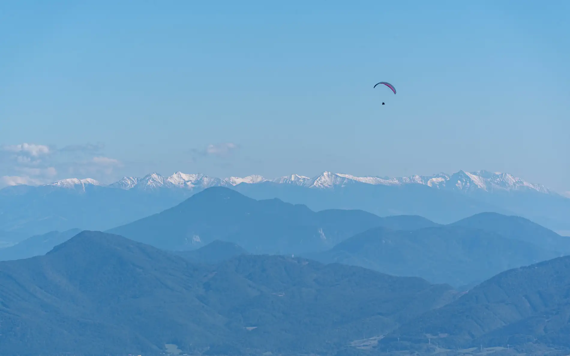
In favourable visibility, you can see all the way to the High Tatras.
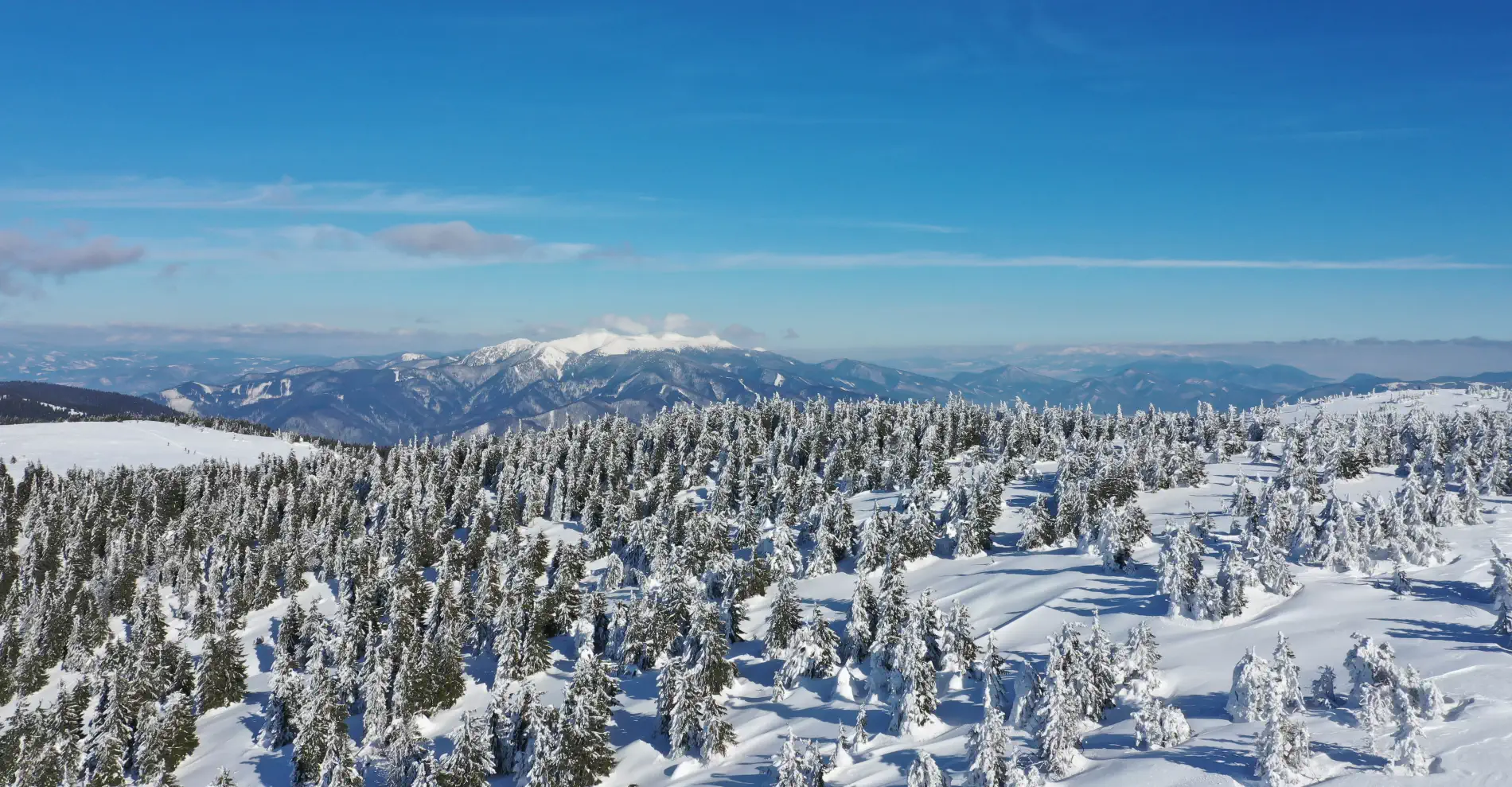
Ideal conditions for cross-country skiing, snowshoe trips, or ski touring.
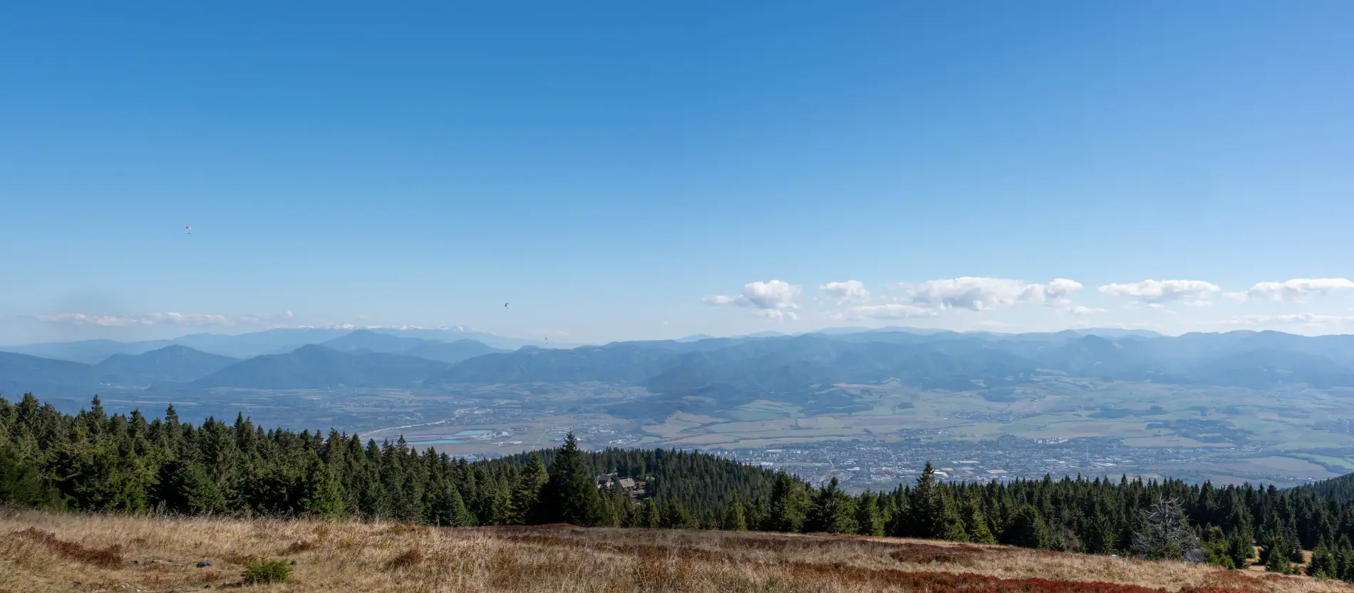
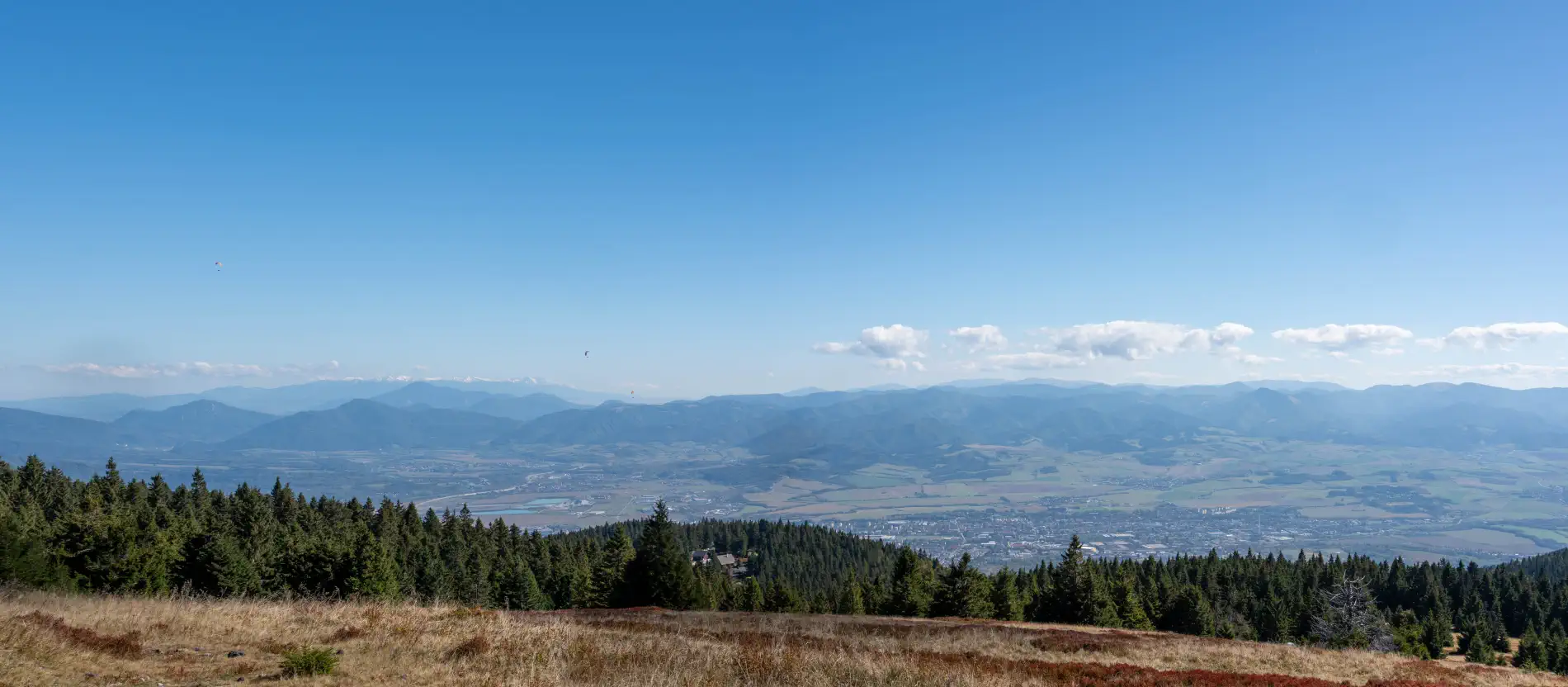
Near the Javorina cottage, a view of the entire Turčianska kotlina basin opens up.
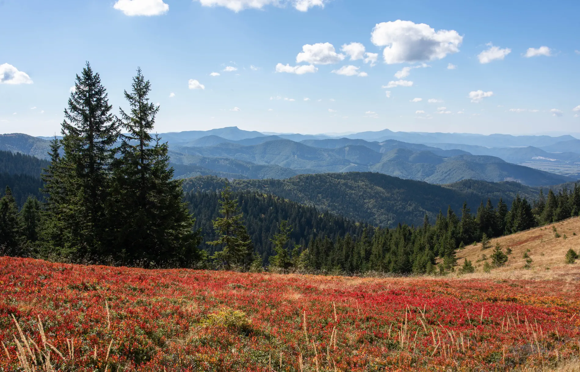
In autumn, the Skalka hill is beautifully colored with blueberry fields.
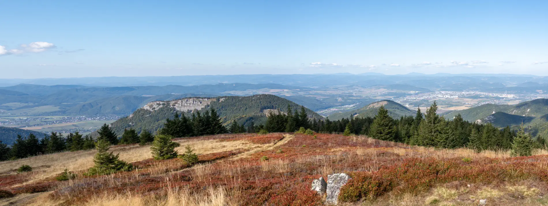
From the top of Skalka, a view opens up of the city of Žilina on the right side. In the center is the table mountain Kozol, and to the right is the Čipčie hill.
Access and hiking options in the surroundings:
1. Access by car (combined with walking the final stretch)
- Direct car access to the very summit of Veľká lúka is not possible (it is a protected mountain area).
- Route to Martinské hole: You can drive up from the city district Martin-Stráne along a purpose-built mountain road to the resort Martinské hole (parking lots by the cottages and ski lifts at an altitude of about 1,200 m above sea level).
- Important notice for drivers: The road to Martinské hole is narrow and has a one-way system controlled by time windows (alternating direction up and down, especially during the winter season, and in winter snow chains or 4x4 drive are mandatory).
- From Martinské hole to the summit: From the parking lot at Martinské hole, continue on foot along the yellow 🟡 or red hiking trail through Krížava to Veľká lúka. This section is easy with an elevation gain of about 250 m and takes approximately 45 to 60 minutes.
2. Bicycle / e-bike access
For mountain bikers and e-bike owners, this is a popular but physically more demanding ascent:
- From Martin (Stráne): The ascent follows a paved forest/asphalt logging road and a road towards Martinské hole. From the valley, you will overcome more than 800 meters of continuous elevation gain.
- From the resort to the ridge and summit: From the Martinské hole resort, continue along a marked cycling route or paved path towards the Krížava transmitter and from there along the ridge route all the way to Veľká lúka.
- Recommended equipment: A mountain bike (MTB) or mountain e-bike with reliable brakes, as the descent is long and steep.
3. Hiking (hiking trails)
Several marked trails lead to the summit of Veľká lúka from various directions:
- From Martin-Stráne (the most popular ascent):
- Along the yellow 🟡 mark: A classic hiking trail through the forest via Martinské hole up to the summit (length approx. 3.5 – 4 hours uphill, elevation gain approx. 980 m).
- Via the HZS Ferrata: A secured path through the Pivovarský potok gorge
 (requires a via ferrata set and helmet, beware of spring and autumn closures). It exits at the mountain huts on the meadows, from where you continue along the marked trail to the summit.
- From Vrútok:
- Follow the blue 🔵 or green 🟢 trail through Minčol (1,364 m above sea level) and from there south along the red ridge trail 🔴 through Krížava all the way to Veľká lúka.
- From Rajecká dolina (Kunerad / Trebostovo):
- A longer, less frequented ascent leads from the western side from the village of Kunerad and the former hunting manor (Kunerad Manor) through Svitačová dolina along the yellow trail 🟡 through Veterné directly to the saddle below Veľká lúka (approx. 3.5 – 4 hours).
- Ridge trail of Lúčanská Malá Fatra 🔴 (red trail):
- The route passes through the entire main ridge (e.g. from Strečno through Minčol, Krížava, Veľká lúka all the way to Kľak and Fačkovské sedlo).
Location map:
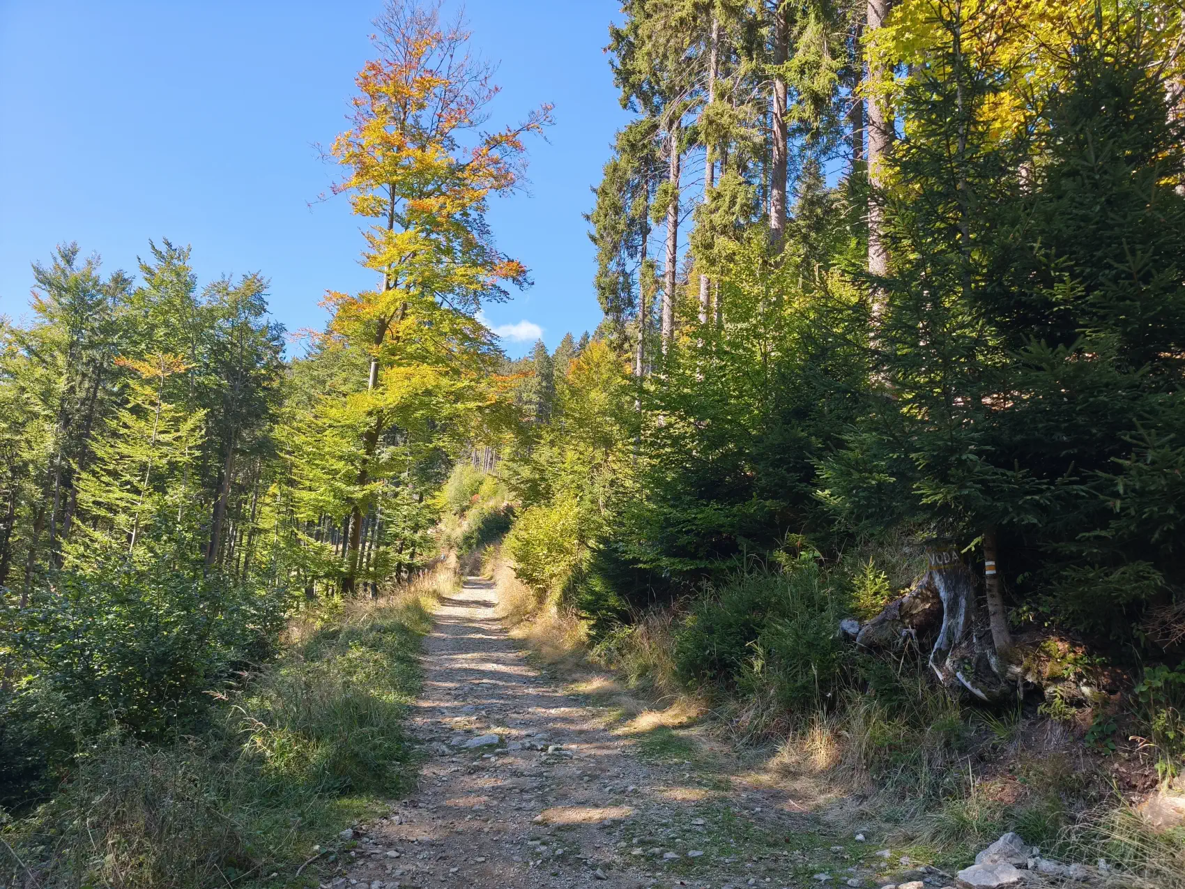
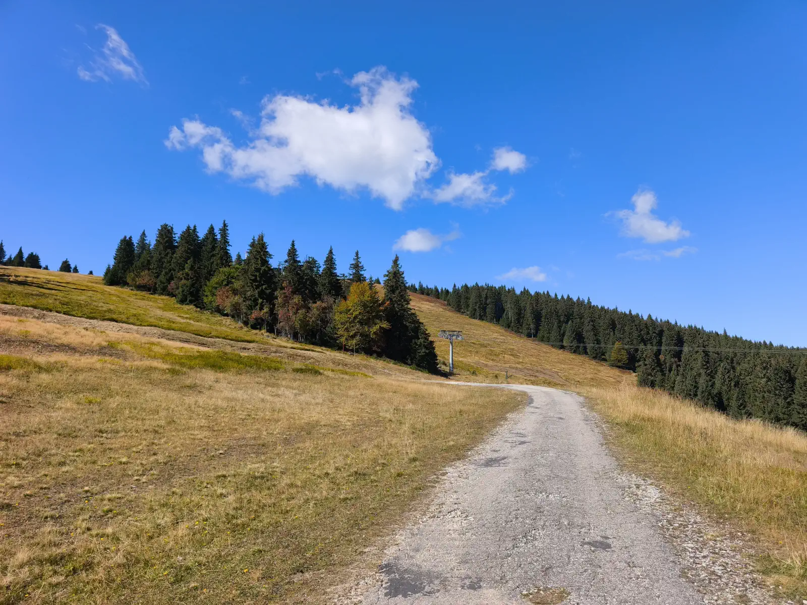
Photo gallery:


 , who in my childhood hung a "camera" around my neck and showed me what and how to do...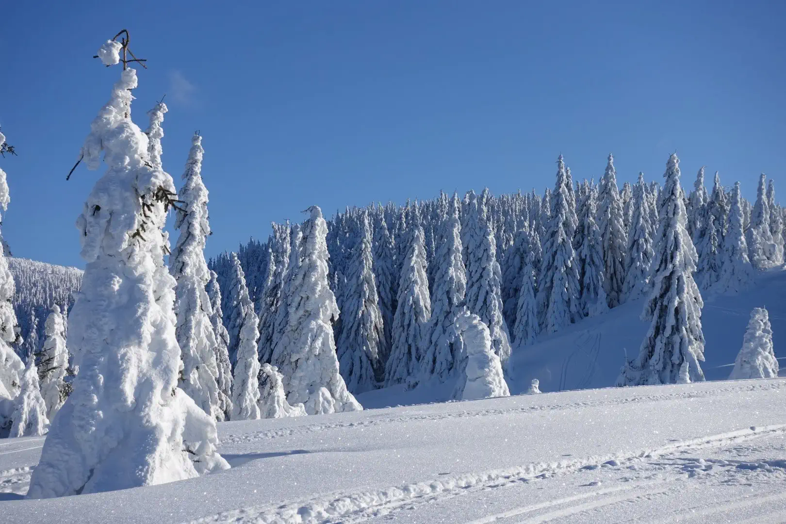
There are no comments yet. Be the first!