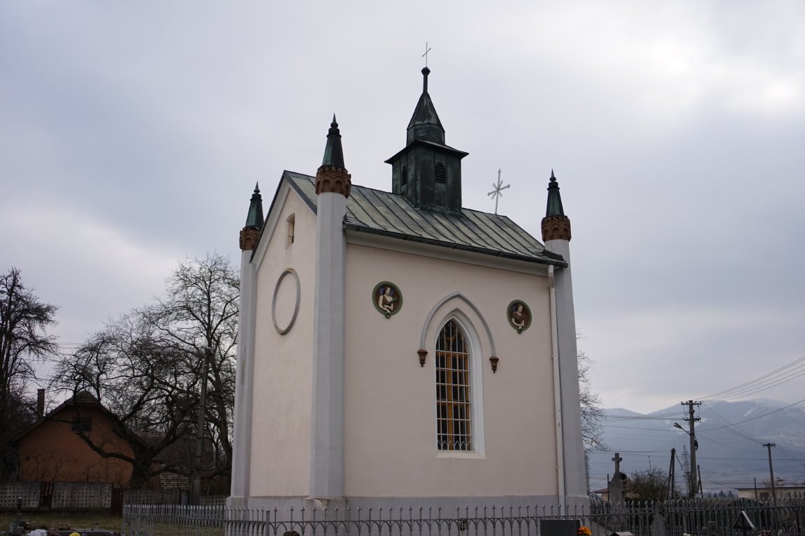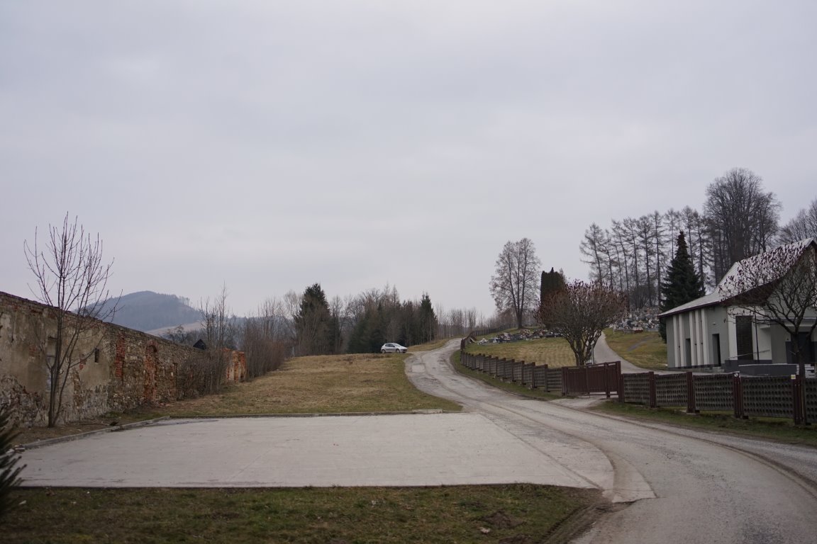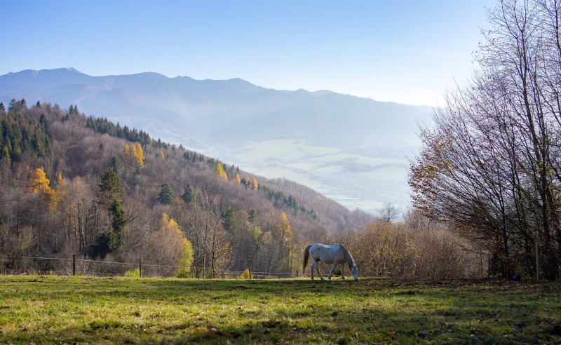
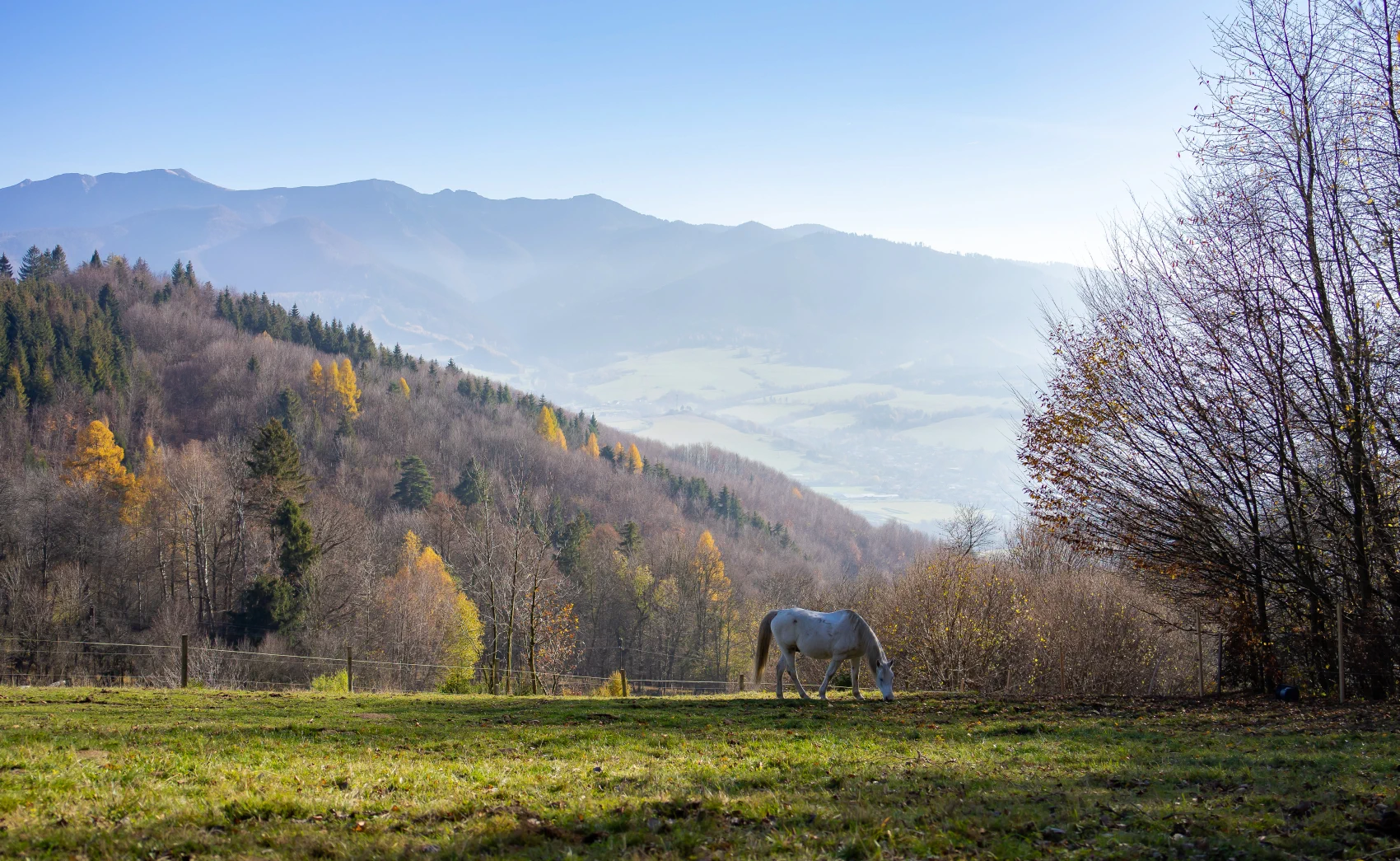
If you are from the Žilina area or are passing by and feel like escaping the city bustle for a while while also enjoying some light physical activity, this route will reward you with its ease and views of Malá Fatra that will let you completely switch off from thoughts of work or the rush of city life. The route starts at the Mausoleum of the Nyári family in Gbeľany, where there is also a car park. It will reward almost everyone, as whether in winter, spring, autumn, or summer, it always has something to offer. In winter it is suitable for hikers, and if there is enough snow at higher elevations, it also has many turnoffs and alternative trails suitable for cross-country skiers. From spring to autumn it is also suitable for cyclists.
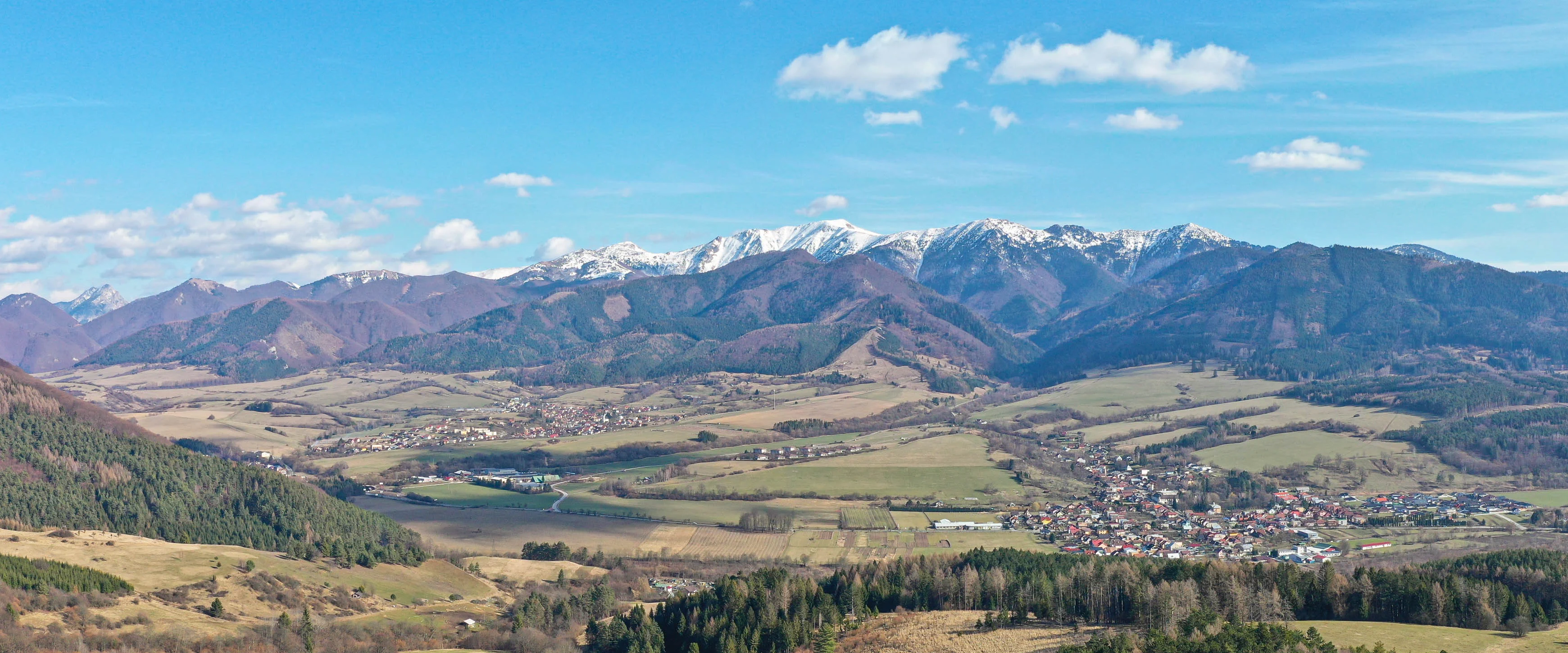
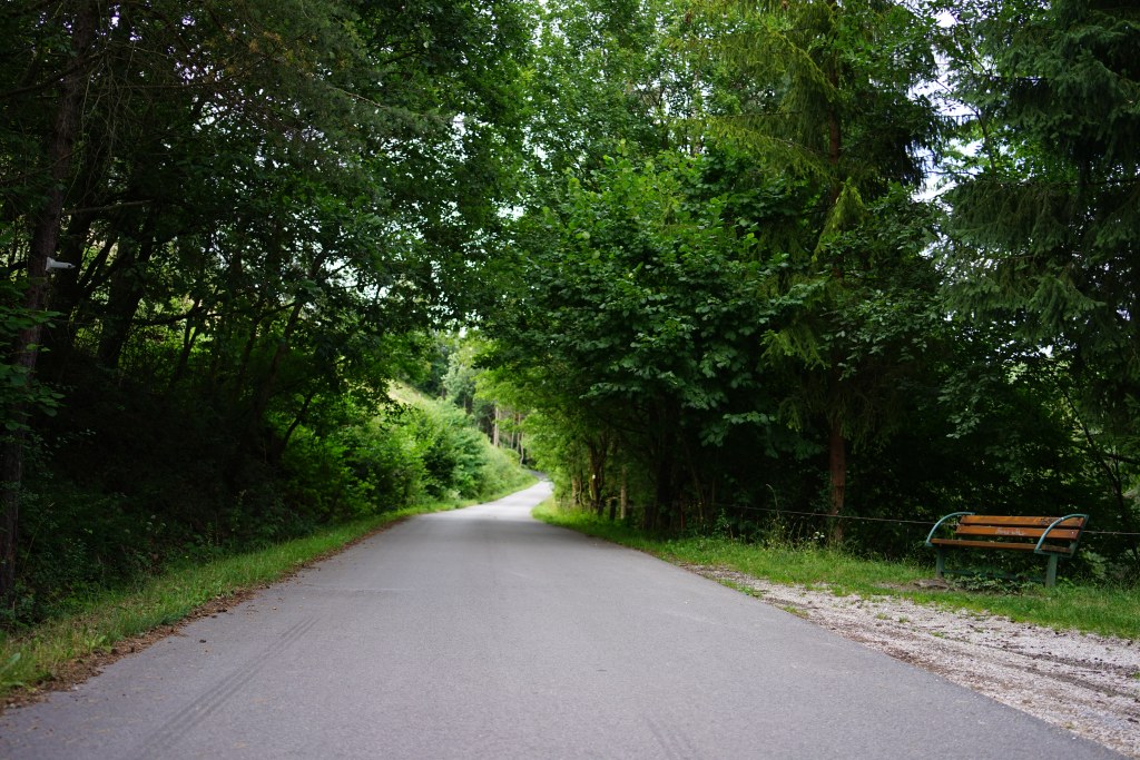
The trail is 5.3 km long. It starts at an elevation of 370 m above sea level, and the final view of the Malá Fatra is at an elevation of 653 m above sea level. So we have approximately 280 meters of climbing ahead of us. We will walk along an old asphalt road that is no longer in the best condition, so especially on bicycles when descending, you need to watch out for numerous potholes in the road that could throw us off balance, but if we are careful, this path is very rideable on a mountain bike and is also suitable for younger hikers.
Location map:


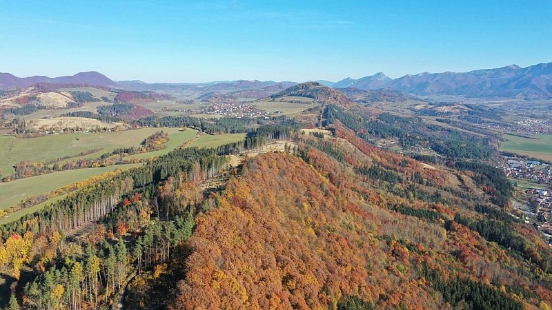

The city of Žilina offers in its immediate vicinity a multitude of locations suitable for active leisure time. One of them is a walk up Dubeň, which almost every Žilina resident knows. It is undemanding on physical fitness, accessible to all age groups, and offers views where we can see the whole city as if on the palm of our hand. An added value will also be the view of Malá Fatra. Dubeň is such a small Žilina ridge hike, and the tourist trail marking is also in red, as is usual for "ridge hikes". I decided to go by bike and start the route at the Žilina Water Works. In a short time I got to Teplička nad Váhom, from where we have to overcome a small elevation gain along an asphalt road to reach the level of Dubeň. However, we need to be careful, especially if our group includes children, because this "shortcut" is also often used by cyclists coming down the opposite direction, who like to release the brakes a bit to enjoy the feeling of speed. It is therefore safe to keep to the right side of the asphalt path.
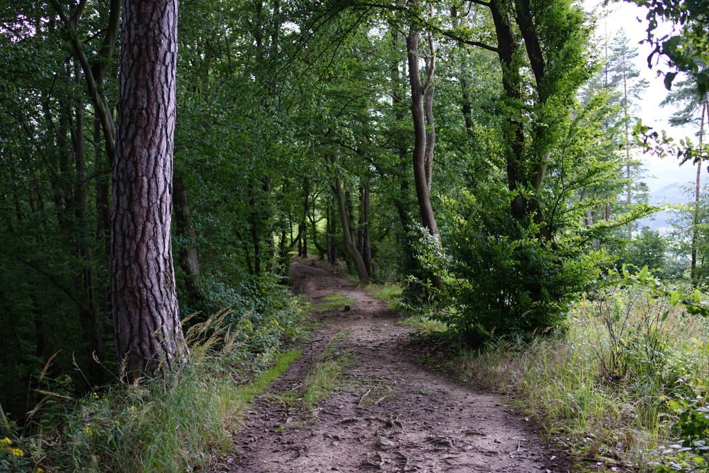
Once we overcome this climb, we turn left onto the road leading from Žilina to Zástranie and continue onto a forest trail that lines Dubeň from start to finish. It is a trail with a gentle, undemanding ascent, which turns into a descent after reaching the highest point. Our path is surrounded by avenues of trees, which create different feelings in every season and in the diversity of weather. Approximately two-thirds of the way, there is a 27m high observation tower with a view of the wide surroundings.
Map of the Dubeň peak area:
Photo gallery:


 who gave me a camera in childhood and showed me what to do and how to do it...