
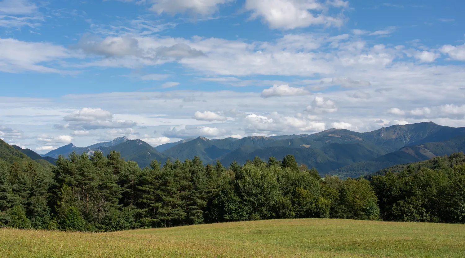
Looking for an ideal tip for a half-day bike trip around Žilina? Set off on an approximately 25 km loop, which starts right at the Žilina Waterworks and takes you through picturesque villages, meadows, and forest roads.
-
Breathtaking panoramas: Conquer the popular Straník hill with its iconic view over the whole of Žilina and the ridge of Malá Fatra.
-
Varied route profile: From comfortable asphalt bike paths through country roads around Kotrčiná Lúčka and Gbelany to more rugged sections.
-
Relaxing finish: Enjoy the last kilometers along the flat stretch beside the water surface of the dam.
Music in video: Flower by Onycs | Creative Commons (BY 3.0) | License
1. Start: Žilina Water Reservoir
The trip can start right at the Žilina Waterworks, from where we will continue along the built cycle path to Teplička nad Váhom. The cycle route will take us in a circuit through villages and meadows behind the hill Straník, which is known to probably every resident of Žilina.
2. Stop at Straník Hill
From Teplička nad Váhom, we will conquer Straník Hill along the asphalt path, which will encourage us with optimism from its views of the mountain ranges and the whole of Žilina.
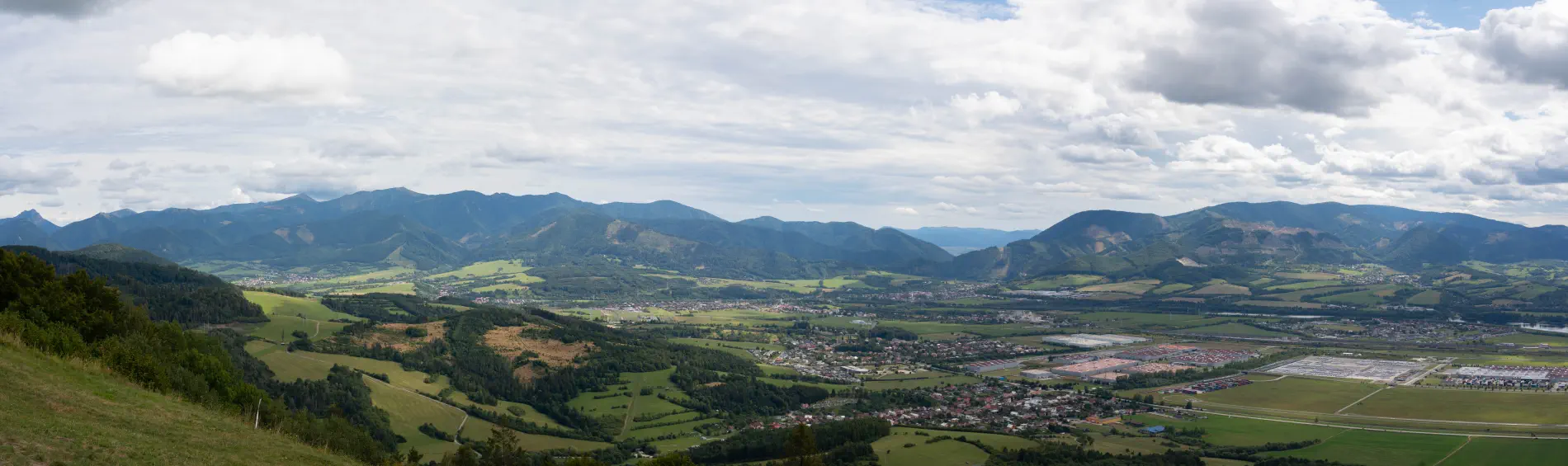
3. Chapel above Kotrčina Lúčka
Our next stop will be the chapel above Kotrčina Lúčka, which serves as a kind of border with the villages of Horný Vadičov and Dolný Vadičov.
4. Ride through meadows and forest to the village of Gbeľany
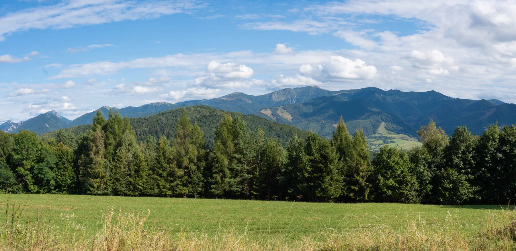
This passage is very impressive with its views of Malá Fatra, although sometimes, especially when it rains, it can be slightly challenging because the field road has many deep ruts from tractors, where water and mud tend to accumulate. So let's take the weather into account as well.
5. Final relaxing ride around the dam
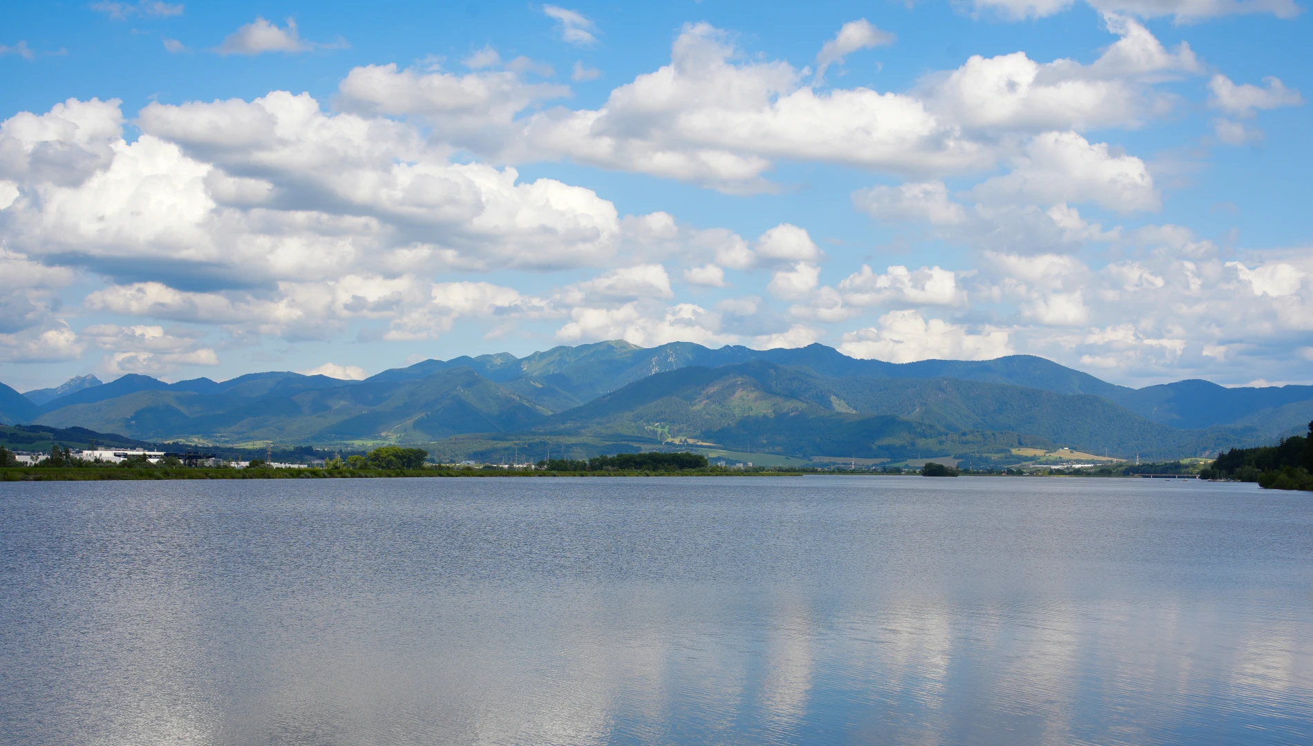
At the end, from the village of Gbeľany, we will move onto the cycle path along the Žilina Waterworks, which is a pleasant relaxing finish to conclude with.
Location map:
Photo gallery:


There are no comments yet. Be the first!